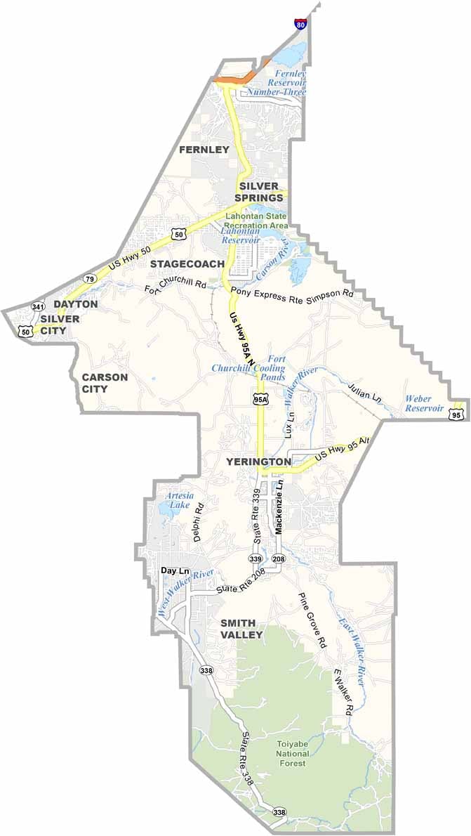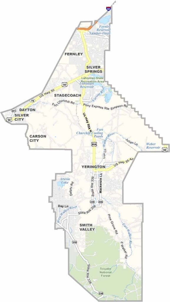
Lyon County Map, Nevada

Lyon County, Nevada

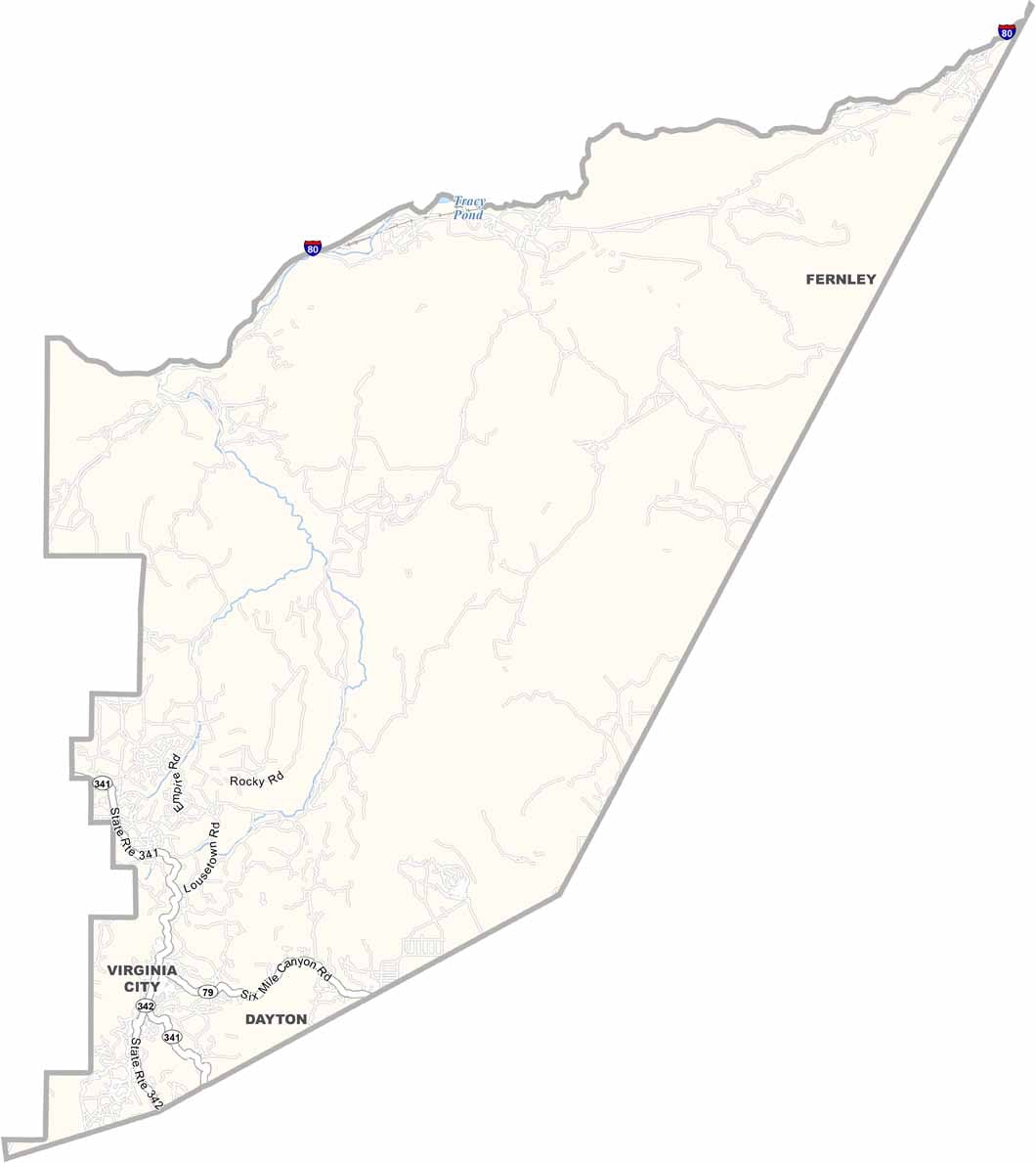
Lyon County sits just east of Carson City, equal parts Old West and new frontier. Yerington serves as the county seat, though Fernley is the largest town these days. The county has a split personality, with rural farmland in the south and bedroom communities for Reno in the north.

Folks here take pride in their agricultural roots, with onions and alfalfa among the big crops. The Carson River winds through the county, providing water and recreation. Virginia City is just over the county line, but it casts a long shadow on Lyon's past and its rich history.

Fort Churchill State Historic Park showcases Nevada's frontier days, but it's not all about looking back. The massive Tesla Gigafactory sits just outside the county, bringing in new jobs and new residents.
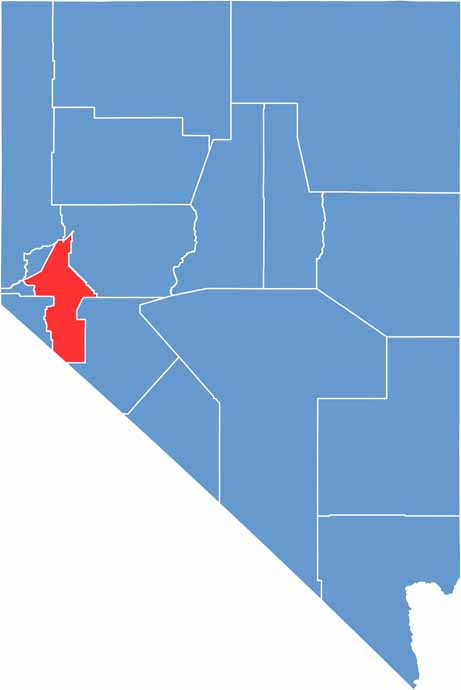
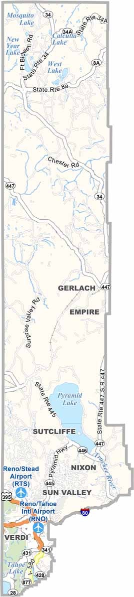
Lyon County location map of Nevada
CategoryDetails
County NameLyon County
County SeatYerington
EtymologyNamed after Nathaniel Lyon, the first Union general killed in the American Civil War
Cities, Towns, and CommunitiesYerington, Fernley, Dayton, Silver Springs, Smith Valley, Stagecoach
Interstates and HighwaysU.S. Highway 50, U.S. Highway 95A, Nevada State Route 341
FIPS Code32-019
Total Area (Land and Water)2,016 square miles (2,001 sq mi land, 15 sq mi water)
Adjacent Counties (and Direction)Washoe County (North), Storey County (Northwest), Churchill County (East), Douglas County (West), Carson City (West), Mineral County (Southeast), Mono County, California (Southwest)
Time ZonePacific Time Zone (PT)
StateNevada
Coordinates39.0183° N, 119.1857° W
Major LandmarksFort Churchill State Historic Park, Lahontan State Recreation Area, Buckland Station
PopulationApproximately 63,000
Scroll to Top