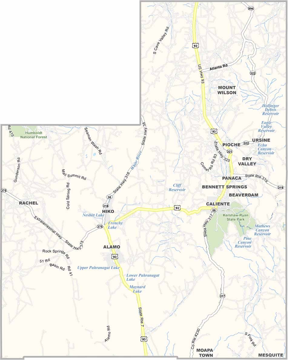
Lincoln County Map, Nevada

Lincoln County, Nevada

Lincoln County lies in southeastern Nevada, next to Utah, and it redefines "off the beaten path." It's huge and empty, an area larger than Connecticut with fewer than 5,000 residents. Pioche, the county seat, clings to its Wild West roots like a stubborn old cowboy.

This is where Area 51 conspiracy theorists come to play, with Rachel's Little A'Le'Inn catering to UFO spotters. The landscape is a mix of desert beauty and pine-covered mountains, and outdoor lovers flock to Cathedral Gorge State Park for its otherworldly rock formations.

Ranching still plays a big role here, though tourism is making its mark. You won't find a single traffic light in the entire county. It's a place where the night sky explodes with stars, and the silence can be downright deafening.
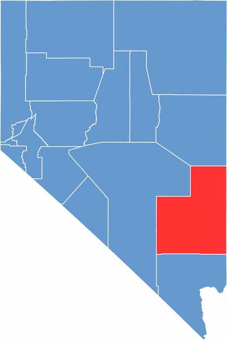
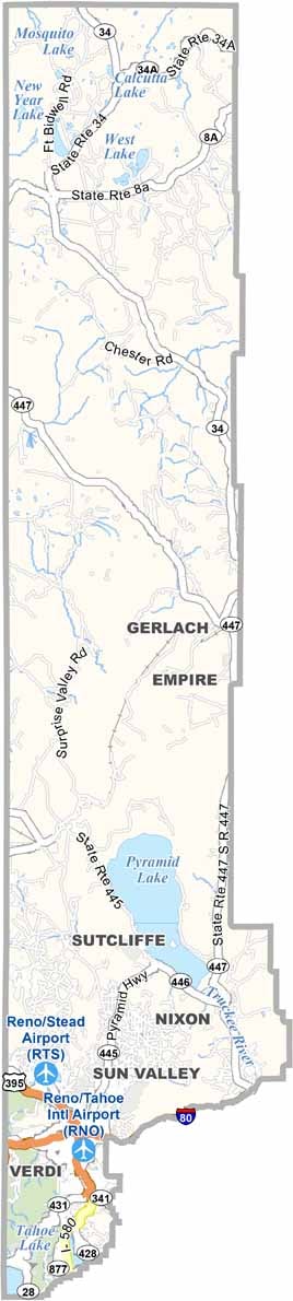
Lincoln County location map of Nevada
CategoryDetails
County NameLincoln County
County SeatPioche
EtymologyNamed after Abraham Lincoln, the 16th President of the United States
Cities, Towns, and CommunitiesPioche, Caliente, Alamo, Panaca, Rachel
Interstates and HighwaysU.S. Highway 93, Nevada State Route 375, Nevada State Route 319
FIPS Code32-017
Total Area (Land and Water)10,637 square miles (10,631 sq mi land, 6 sq mi water)
Adjacent Counties (and Direction)White Pine County (North), Millard County, Utah (Northeast), Beaver County, Utah (East), Iron County, Utah (East), Washington County, Utah (East), Mohave County, Arizona (Southeast), Clark County, Nevada (South), Nye County, Nevada (West)
Time ZonePacific Time Zone (PT)
StateNevada
Coordinates37.6356° N, 114.8769° W
Major LandmarksCathedral Gorge State Park, Kershaw-Ryan State Park, Area 51, Lincoln County Courthouse
PopulationApproximately 4,700
Scroll to Top