
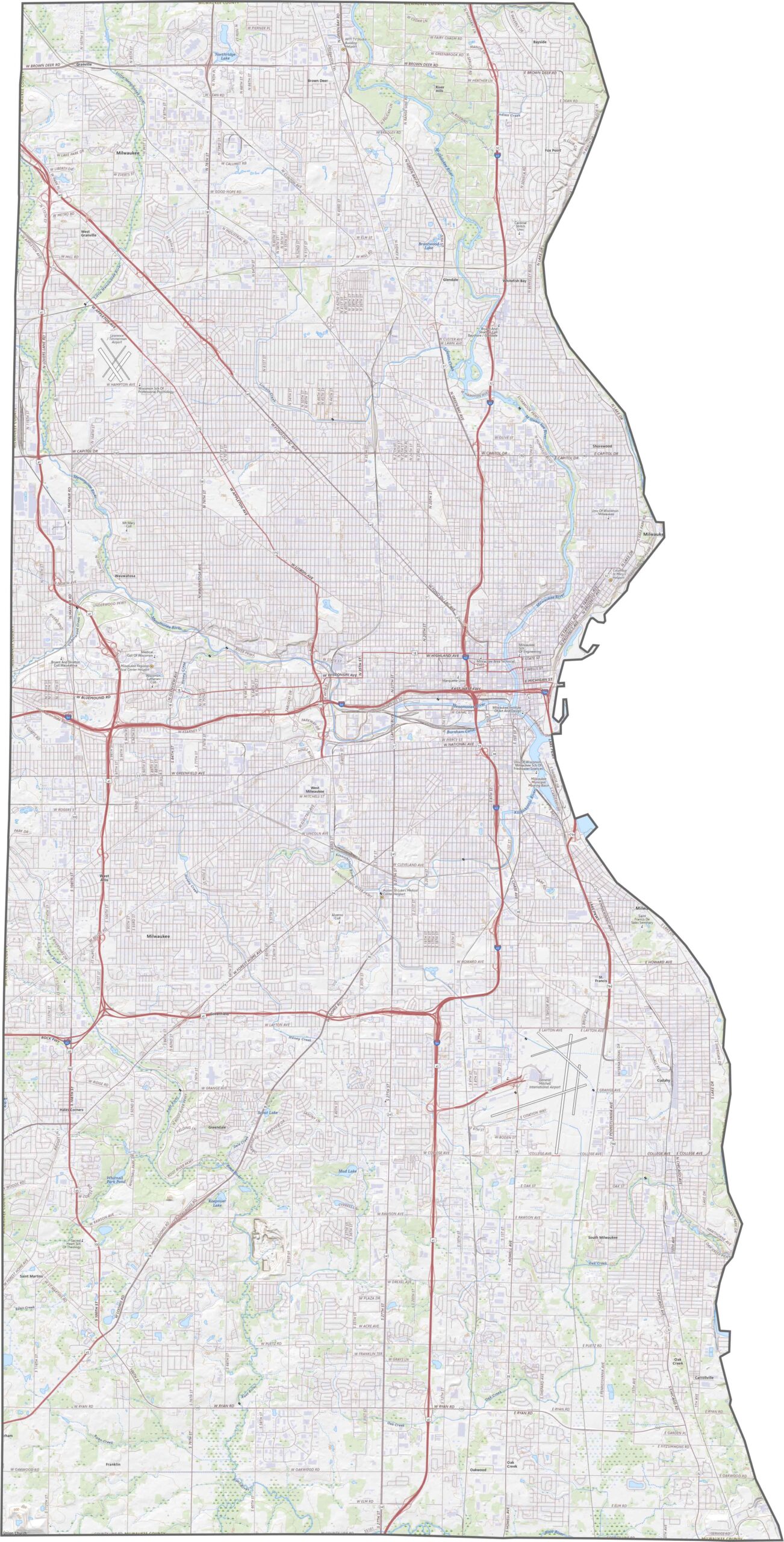
Milwaukee County is the urban center of Wisconsin and the state’s most populous county, concentrated within a relatively small land area. The city of Milwaukee dominates the county, stretching along the western shore of Lake Michigan.
Known for its blue-collar heritage, Milwaukee also offers a growing food, drink, and cultural scene. Beer brewing has long played an important role in the city’s history, while today, visitors can enjoy everything from local breweries to craft cocktails. The Milwaukee lakefront adds to the city’s appeal with beautiful waterfront views and recreational opportunities.
Bradford Beach becomes especially busy during the summer, when residents and visitors enjoy festivals, events, and outdoor activities. Major attractions such as Summerfest and the Wisconsin State Fair, along with numerous ethnic festivals, showcase the county’s diverse culture. The Milwaukee County suburbs extend westward, with communities such as Wauwatosa and Cudahy each offering their own unique character. Overall, the county is diverse, dynamic, and full of urban energy.
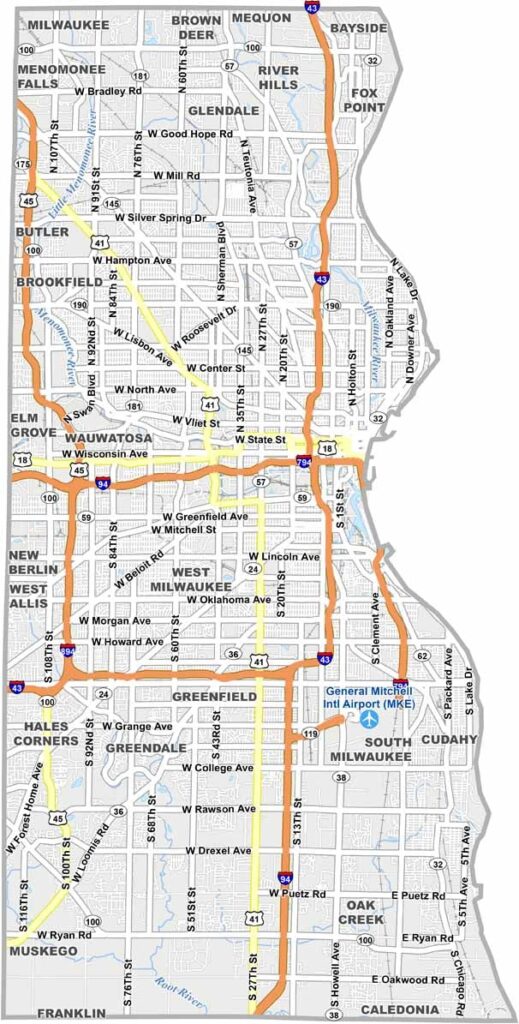
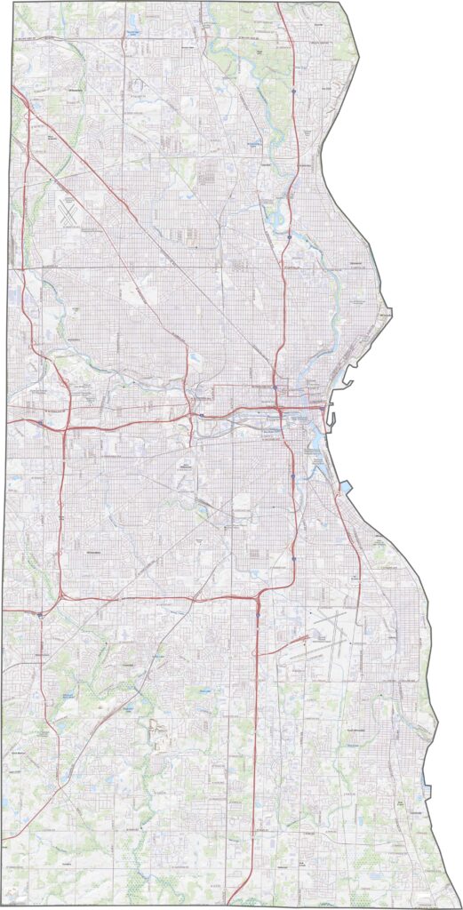
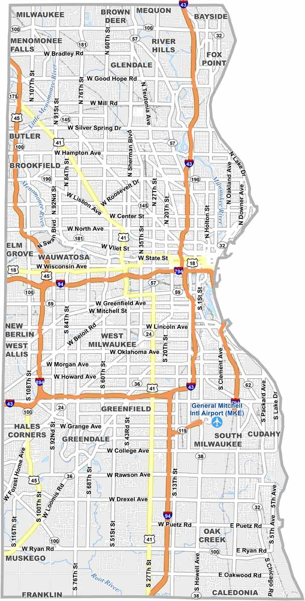
Interstate 94, Interstate 43, and Interstate 41 all run through compact Milwaukee County. Despite its small size, the county has one of the most complex highway networks in Wisconsin, with steady traffic and closely spaced interchanges. Still, most destinations are easily accessible. Check our zoom tool below to explore how the major roads and routes connect.
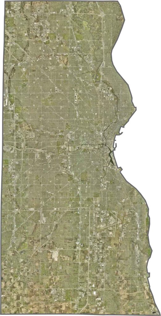
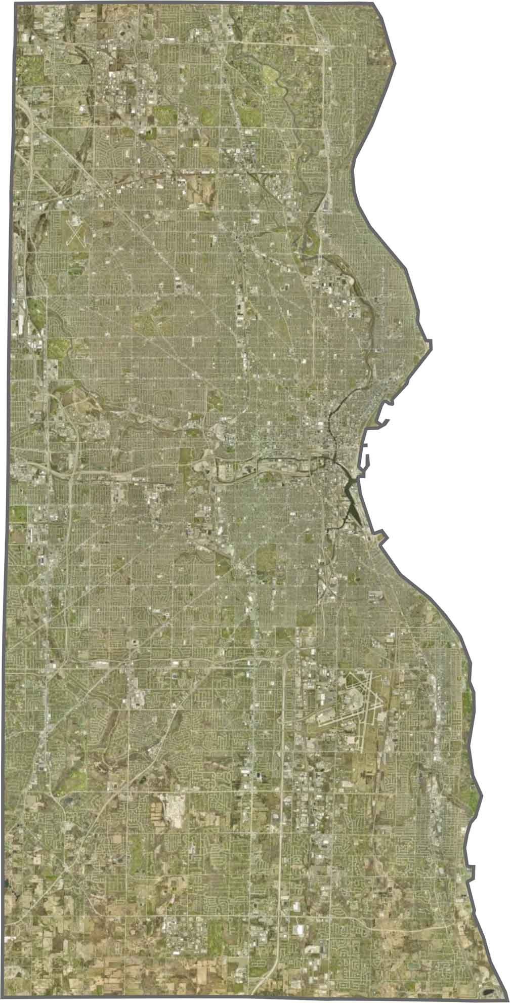
Milwaukee County is highly urbanized from edge to edge. The Milwaukee city grid dominates the landscape, interrupted mainly by parks, green spaces, and the blue waters of Lake Michigan. The Milwaukee Mitchell International Airport is also easy to spot in the southeastern part of the county.
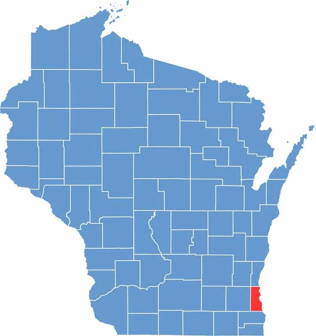
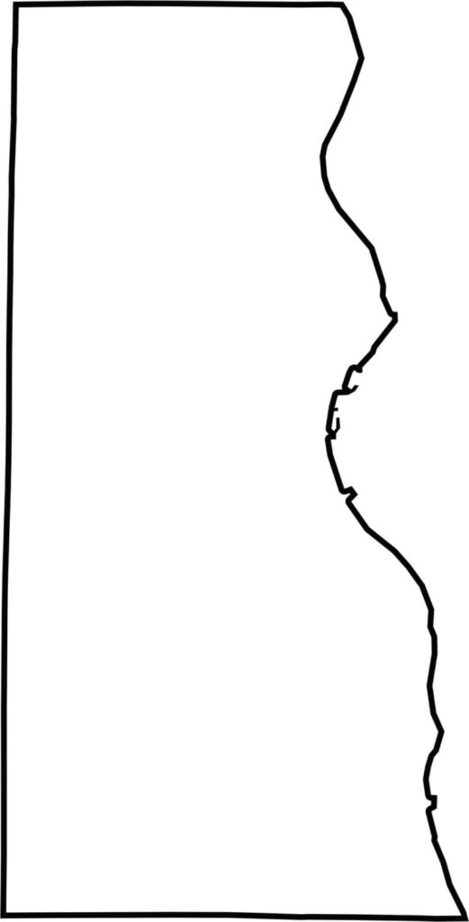
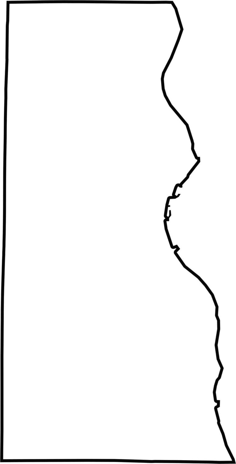
Milwaukee County has a compact, boxy shape, with a smooth eastern edge following Lake Michigan. Located in southeastern Wisconsin, the county’s eastern boundary curves along the lake, while most of its remaining borders are formed by straight survey lines.




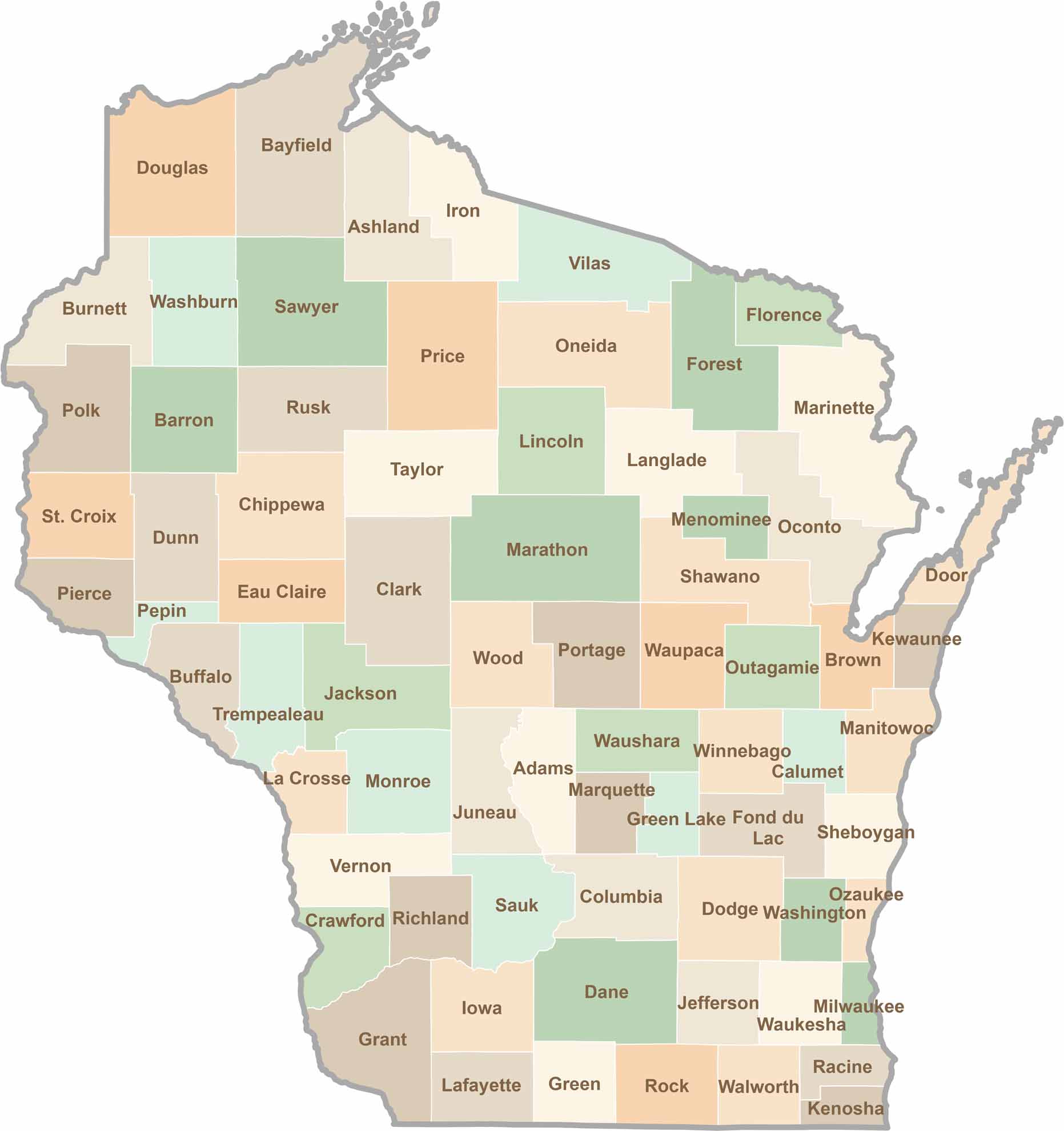
Wisconsin is known for its beer, cheese, and proud traditions, but the state’s 72 counties offer far more than familiar stereotypes. From the scenic shorelines of Lake Michigan and Lake Superior to sprawling dairy farms, dense forests, rolling bluffs, and picturesque river valleys, Wisconsin features an incredible variety of landscapes and communities.Each county has its own unique character, history, and attractions.