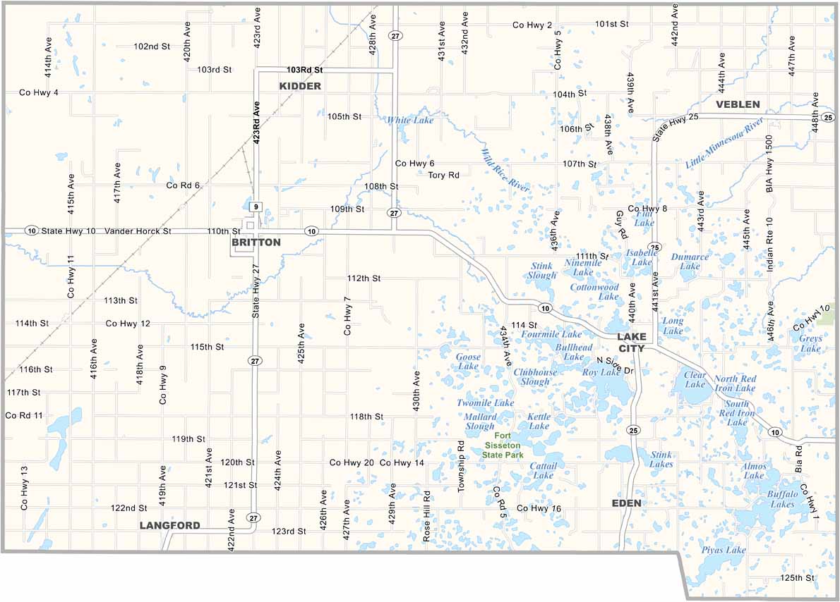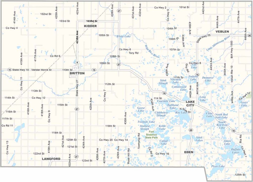
Marshall County Map, South Dakota

Marshall County, South Dakota

Marshall County hugs the North Dakota border in northeastern South Dakota. It’s mostly flat farmland, with scattered lakes and wetlands breaking up the landscape. The James River Valley runs through the western part of the county.

Roy Lake is a local favorite for fishing and camping. But there are plenty of lakes throughout the county. You’ll also find some of the best pheasant hunting in the state here.

The county was named after John Marshall, the fourth Chief Justice of the Supreme Court. Britton serves as the county seat. Winters are long and cold, but ask any local, and they’ll tell you the wide-open spaces make it worth it.
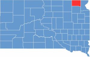

Marshall County location map of South Dakota
CategoryDetails
County NameMarshall County
County SeatBritton
EtymologyNamed after Marshall Vincent, Day County Commissioner
Cities, Towns, and CommunitiesBritton, Eden, Langford, Veblen, Lake City
Interstates and HighwaysState Highway 10, State Highway 27
FIPS Code46-091
Total Area (Land and Water)886 square miles (838 sq mi land, 48 sq mi water)
Adjacent Counties (and Direction)Sargent County, North Dakota (North), Richland County, North Dakota (Northeast), Roberts County (East), Day County (South), Brown County (West)
Time ZoneCentral Time Zone (CST)
StateSouth Dakota
Coordinates45°48’N, 97°36’W
Major LandmarksFort Sisseton State Historic Park, Roy Lake State Park, Marshall County Courthouse
PopulationApproximately 4,600
Scroll to Top