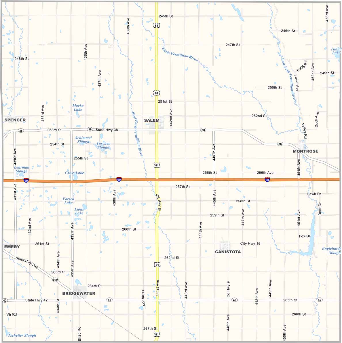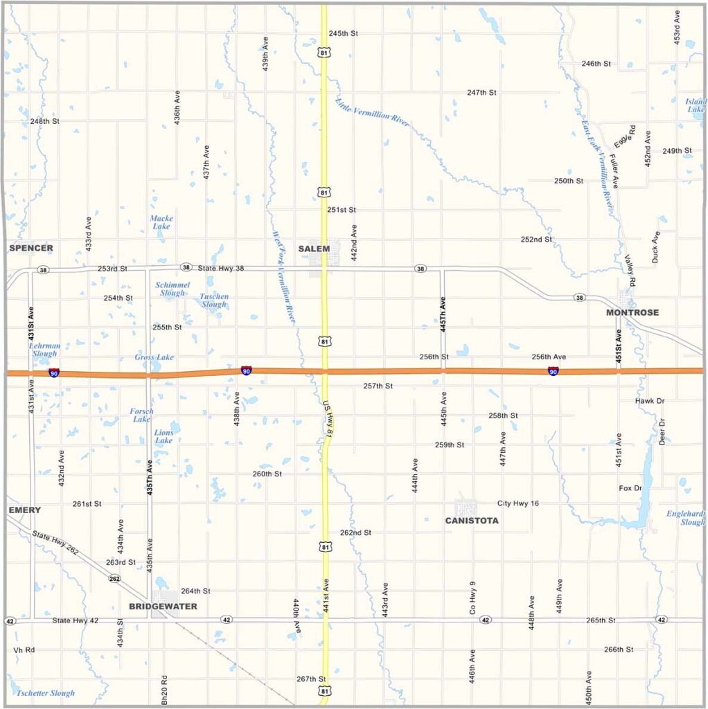
McCook County Map, South Dakota

McCook County, South Dakota

McCook County sits in southeastern South Dakota, just east of the James River. It’s prime farming country, with fields of corn and soybeans stretching across the landscape. Salem serves as the county seat.

The population has been slowly declining for decades, but those who remain are fiercely loyal to their communities. You can still catch an old-school demolition derby at the county fair each summer.

Vermillion Creek winds through the countryside. The wind always seems to be blowing. Main Street in Canistota looks like it has barely changed since the 1950s.
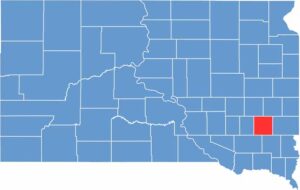

McCook County location map of South Dakota
CategoryDetails
County NameMcCook County
County SeatSalem
EtymologyNamed after Edwin S. McCook, a brigadier general during the Civil War
Cities, Towns, and CommunitiesSalem, Montrose, Canistota, Spencer
Interstates and HighwaysInterstate 90, State Highway 42
FIPS Code46-087
Total Area (Land and Water)577 square miles (575 sq mi land, 2 sq mi water)
Adjacent Counties (and Direction)Lake County (Northeast), Minnehaha County (East), Turner County (Southeast), Hutchinson County (Southwest), Hanson County (West), Miner County (Northwest)
Time ZoneCentral Time Zone (CST)
StateSouth Dakota
Coordinates43°40’N, 97°22’W
Major LandmarksMcCook County Courthouse, Lake Vermillion Recreation Area, Spencer Dam
PopulationApproximately 5,800
Scroll to Top