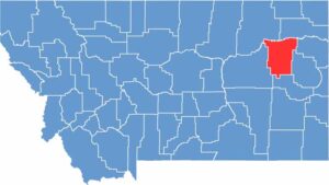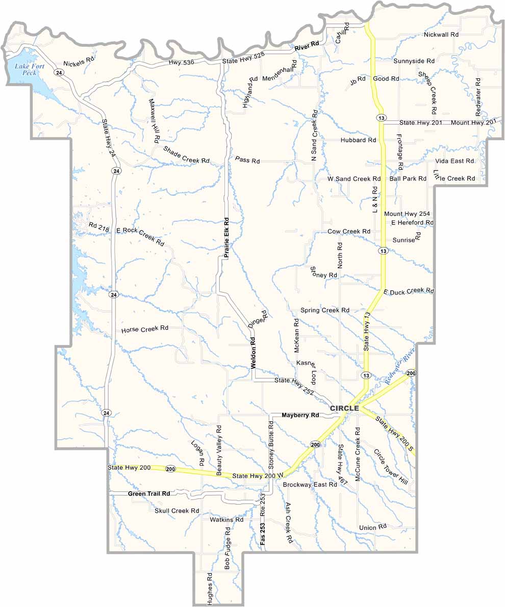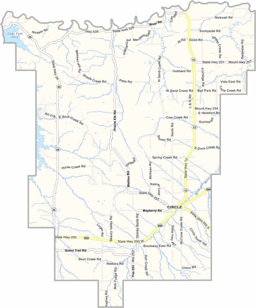
Drive east across Montana, and you’ll eventually reach McCone County (and no, we’re not talking about McDonald’s). It sits in the eastern half of the state, surrounded by wide-open plains. This is classic ranch country.
Circle is the county seat. Yep, just like the shape. Winters can be brutal, while summers get scorching hot. But locals wouldn’t want it any other way. It’s the kind of place where you can still look up and see every star in the night sky.
You won’t find fancy restaurants or shopping malls here. What you will find are wide-open spaces and a sky that seems to stretch forever. The Missouri River forms the county’s southern border and offers some pretty sweet fishing spots.