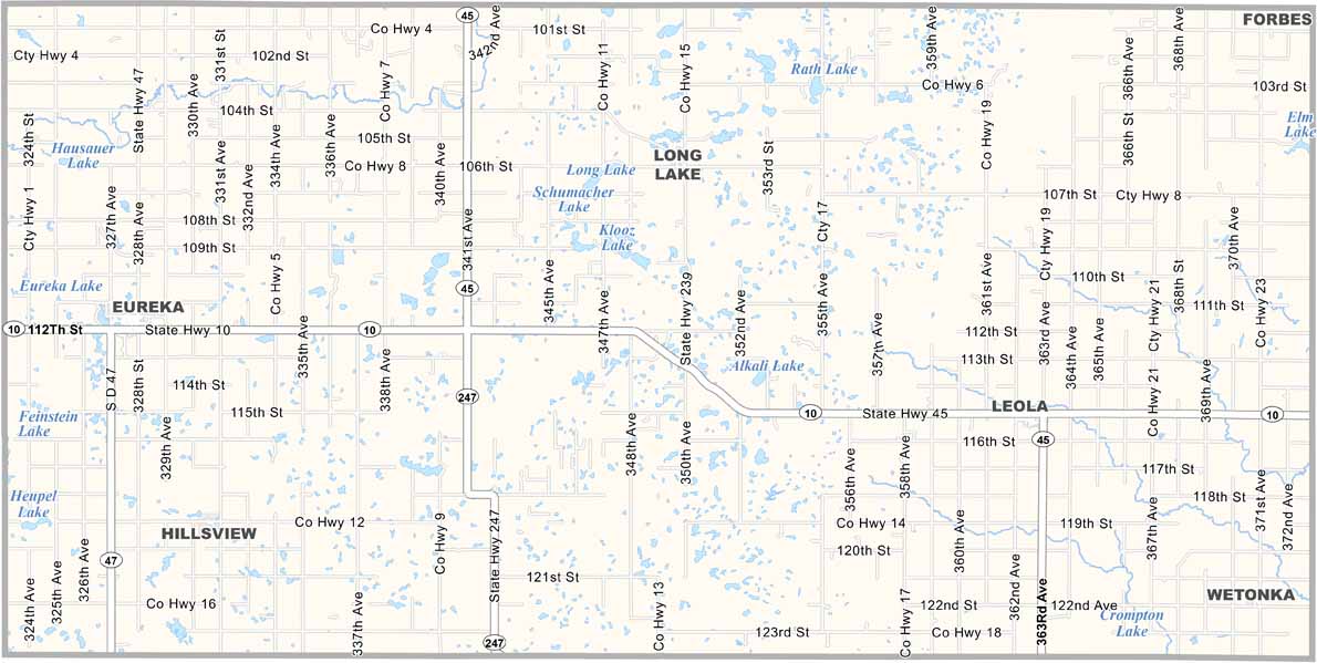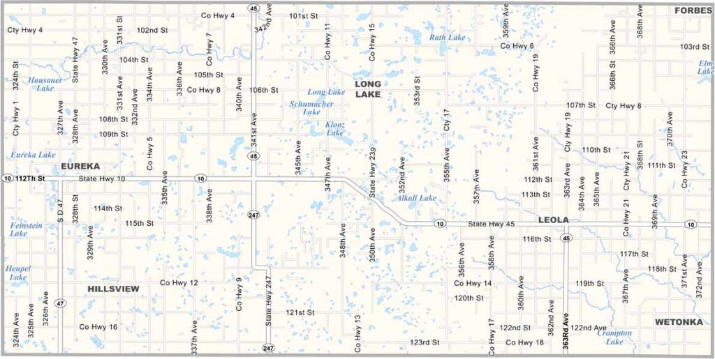
McPherson County Map, South Dakota

McPherson County, South Dakota

McPherson County occupies the north-central part of South Dakota. It’s a land of rolling prairies and scattered lakes. Eureka, the county seat, was once known as the “wheat capital of the world.”

The county is named after Civil War general James B. McPherson. Hunting is wildly popular here, especially for pheasants and deer.

Check out Leola Lake for fishing. Eureka, Long Lake, and Wetonka are other major communities. McPherson County is the kind of place where a neighbor is always ready to pull you out of a snowbank.
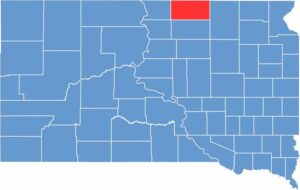

McPherson County location map of South Dakota
CategoryDetails
County NameMcPherson County
County SeatLeola
EtymologyNamed after James B. McPherson, a Civil War Union General
Cities, Towns, and CommunitiesLeola, Eureka, Long Lake, Wetonka, Hillsview
Interstates and HighwaysU.S. Highway 12, State Highway 47
FIPS Code46-089
Total Area (Land and Water)1,137 square miles (1,137 sq mi land, <1 sq mi water)
Adjacent Counties (and Direction)McIntosh County, North Dakota (North), Dickey County, North Dakota (Northeast), Brown County (East), Edmunds County (South), Walworth County (Southwest), Campbell County (West)
Time ZoneCentral Time Zone (CST)
StateSouth Dakota
Coordinates45°46’N, 99°15’W
Major LandmarksEureka Pioneer Museum, Spring Creek Lake, McPherson County Courthouse
PopulationApproximately 2,400
Scroll to Top