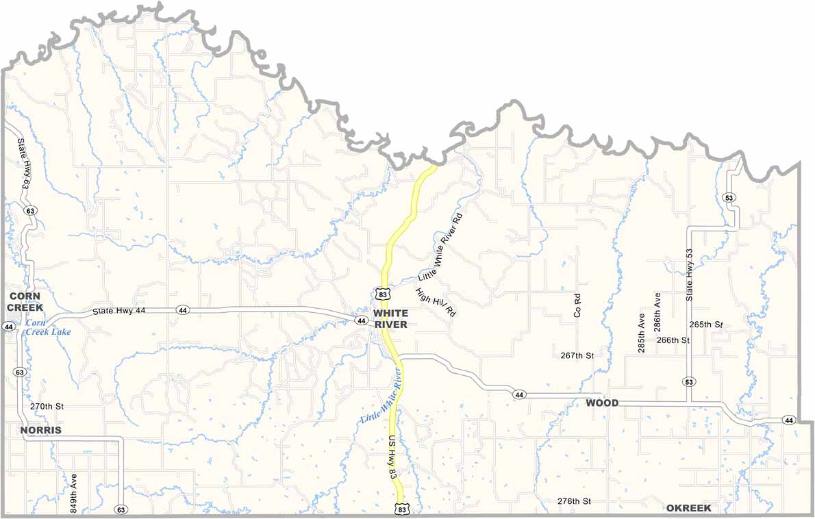
Mellette County Map, South Dakota

Mellette County, South Dakota

Mellette County lies in southern South Dakota. It’s mostly open range, with cattle grazing across the landscape and the occasional oil pump in sight. The White River runs through the county.

The county is named after Arthur Mellette, governor of the Dakota Territory. Summers are hot and dry, while winters are long and cold. But folks here are used to the extremes.

Wood Mountain rises above the landscape. Well, as much as anything towers over the Great Plains. The Rosebud Sioux Reservation covers part of the county, while White River is the only town of any size. Life isn’t easy here, but it’s real.
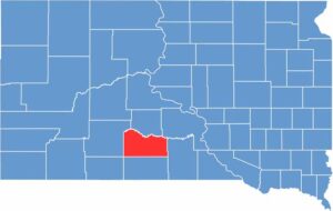

Mellette County location map of South Dakota
CategoryDetails
County NameMellette County
County SeatWhite River
EtymologyNamed after Arthur C. Mellette, a former governor of Dakota Territory
Cities, Towns, and CommunitiesWhite River, Wood
Interstates and HighwaysU.S. Highway 83
FIPS Code46-095
Total Area (Land and Water)1,311 square miles (1,307 sq mi land, 4 sq mi water)
Adjacent Counties (and Direction)Jones County (North), Lyman County (Northeast), Tripp County (East), Todd County (South), Bennett County (Southwest), Jackson County (West)
Time ZoneCentral Time Zone (CST)
StateSouth Dakota
Coordinates43°35’N, 100°45’W
Major LandmarksLittle White River Recreation Area, Mellette County Courthouse
PopulationApproximately 2,100
Scroll to Top