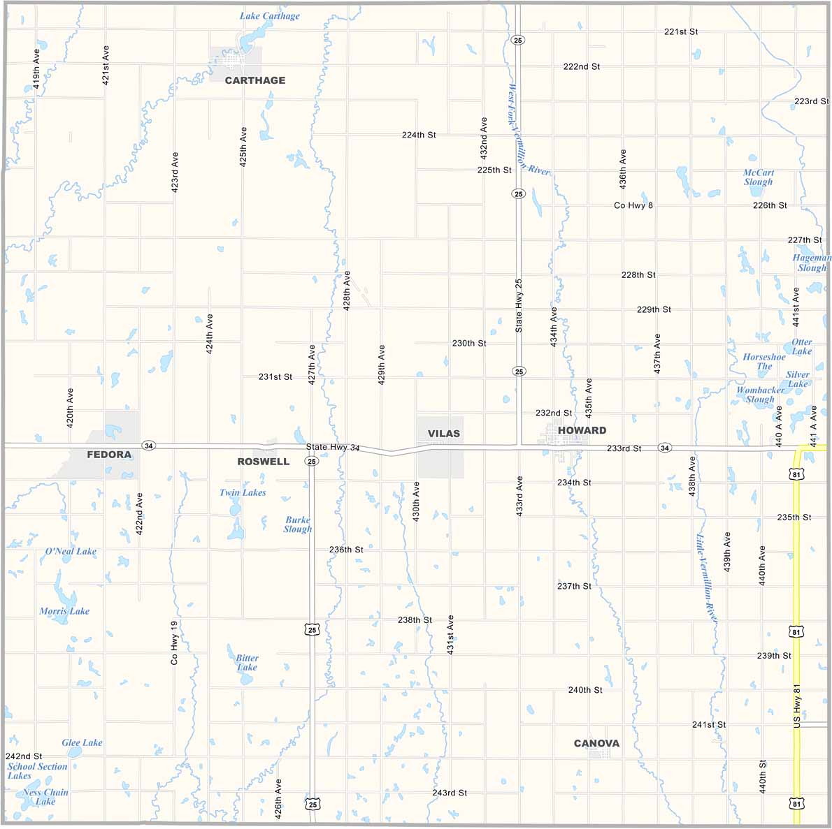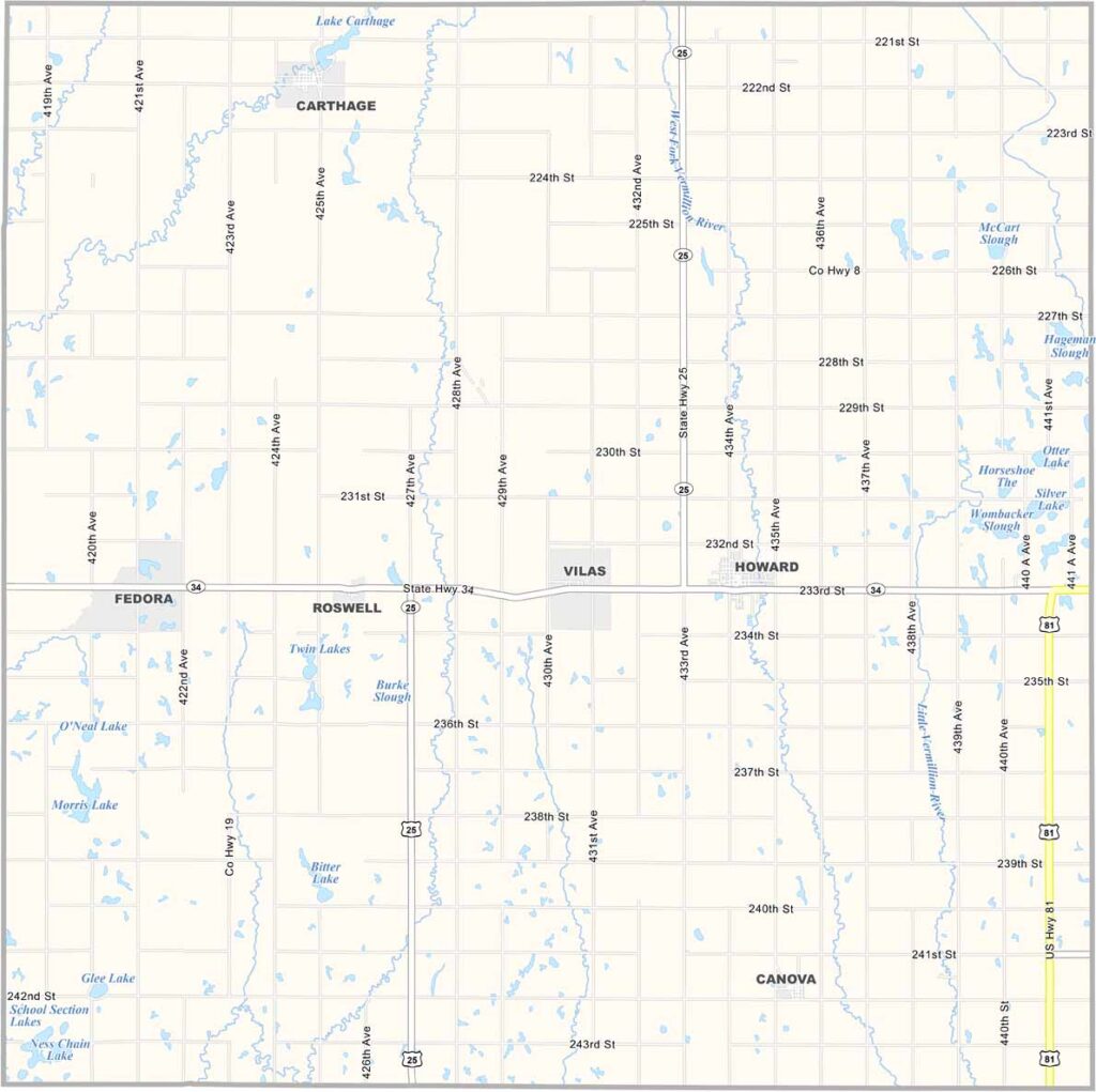
Miner County Map, South Dakota

Miner County, South Dakota

Miner County sits in east-central South Dakota. It’s named after Nelson and Ephriam Miner, early territorial legislators. Howard serves as the county seat.

The east fork of the Vermillion River winds through farmland and prairies. This is prime territory for pheasant hunting. The population has been shrinking for years, but the sense of community remains strong.

You can catch amateur baseball games in the summer. The county also has a couple of winter fowl areas dedicated to wildlife conservation. Winters are tough, but spring brings carpets of wildflowers.
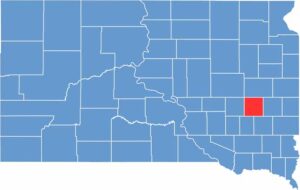

Miner County location map of South Dakota
CategoryDetails
County NameMiner County
County SeatHoward
EtymologyNamed after Nelson Miner of Vermillion and Ephriam Miner of Yankton
Cities, Towns, and CommunitiesHoward, Carthage, Canova
Interstates and HighwaysU.S. Highway 81, State Highway 34
FIPS Code46-097
Total Area (Land and Water)572 square miles (570 sq mi land, 2 sq mi water)
Adjacent Counties (and Direction)Kingsbury County (North), Lake County (East), McCook County (Southeast), Hanson County (Southwest), Sanborn County (West)
Time ZoneCentral Time Zone (CST)
StateSouth Dakota
Coordinates44°00’N, 97°36’W
Major LandmarksMiner County Courthouse, Lake Carthage
PopulationApproximately 2,200
Scroll to Top