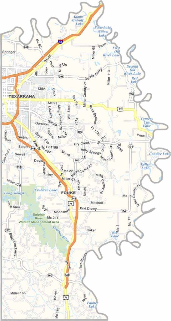
Miller County, Arkansas

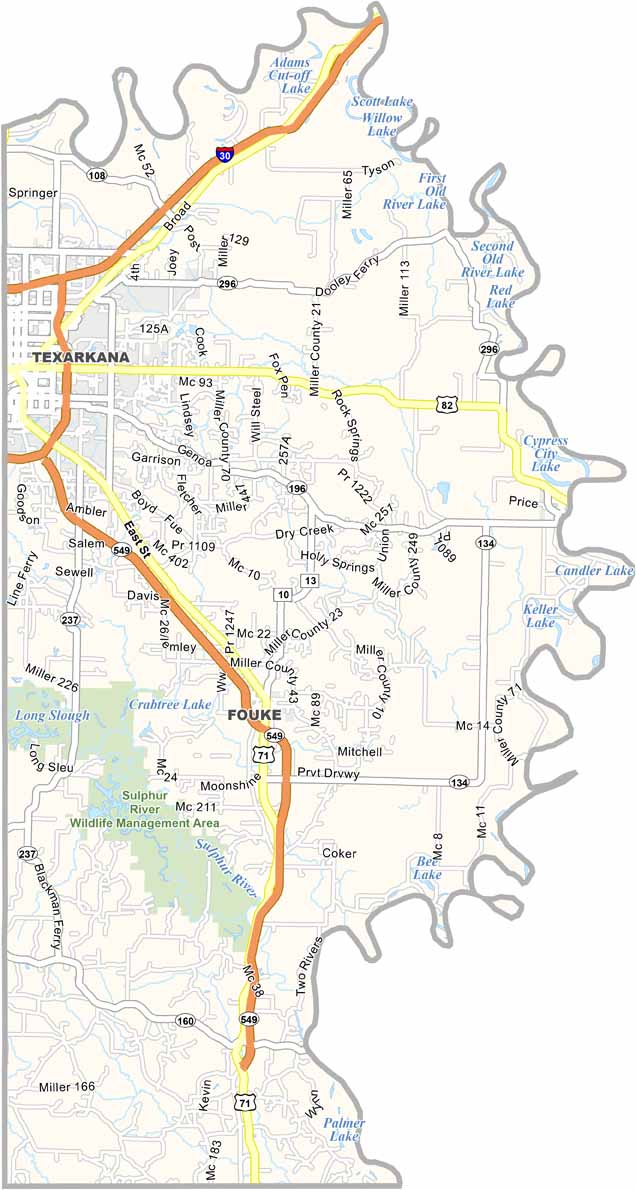
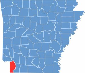
Miller County occupies the southwestern corner of Arkansas, with Texarkana serving as the county seat. This unique city sits along the Arkansas-Texas border, with State Line Avenue literally dividing the two states.

The county is part of the Ark-La-Tex region, blending influences from Arkansas, Louisiana, and Texas. Texarkana’s downtown is home to the only U.S. Post Office located in two states.

Miller County also features the Sulphur River Wildlife Management Area, a peaceful destination with walking trails and a duck pond. The Four States Auto Museum showcases vintage vehicles and highlights the region’s automotive history.
County NameMiller County
County SeatTexarkana
EtymologyNamed after James Miller, the first governor of the Arkansas Territory
Cities, Towns, and CommunitiesTexarkana, Fouke, Garland, Doddridge, Genoa
Interstates and HighwaysInterstate 30, U.S. Route 67, U.S. Route 71, U.S. Route 82, U.S. Route 59, State Route 237
FIPS Code05-091
Total Area (Land and Water)638 square miles (Land: 626 sq mi, Water: 12 sq mi)
Adjacent Counties (and Direction) Little River County (North), Lafayette County (Northeast), Caddo Parish, Louisiana (Southeast), Bossier Parish, Louisiana (South), Cass County, Texas (West), Bowie County, Texas (West)
Time ZoneCentral Standard Time (CST)
StateArkansas
Coordinates33.3335° N, 93.8865° W
Major LandmarksTexarkana Post Office and Federal Building (straddles state line), Four States Fairgrounds, Spring Lake Park, Millwood Lake (nearby), Sulphur River Wildlife Management Area
PopulationApproximately 43,000
Scroll to Top