
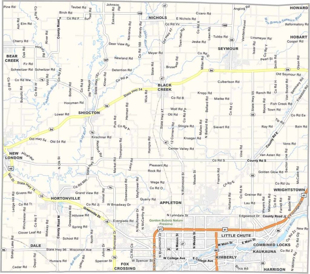
The Fox River Valley is home to Outagamie County, with Appleton serving as the county seat and largest city. It has a bit of everything, including museums, parks, and a growing local arts scene.
The Fox River flows through the heart of the county and once powered the area’s paper mills. Today, it is more closely associated with recreation and outdoor activities. Native American heritage runs deep here, along with the legacy of Senator Joseph McCarthy, who was born in Grand Chute.
Outagamie County isn’t all about the past, though. The area is growing quickly, with new businesses and development emerging throughout the county. It also features beautiful natural attractions and is located near Lake Winnebago to the south. With its scenic landscapes and outdoor recreation opportunities, the county is a favorite destination for hikers and campers.
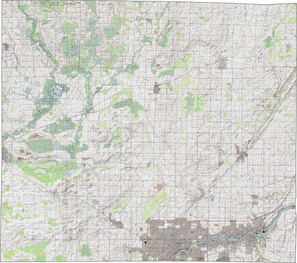
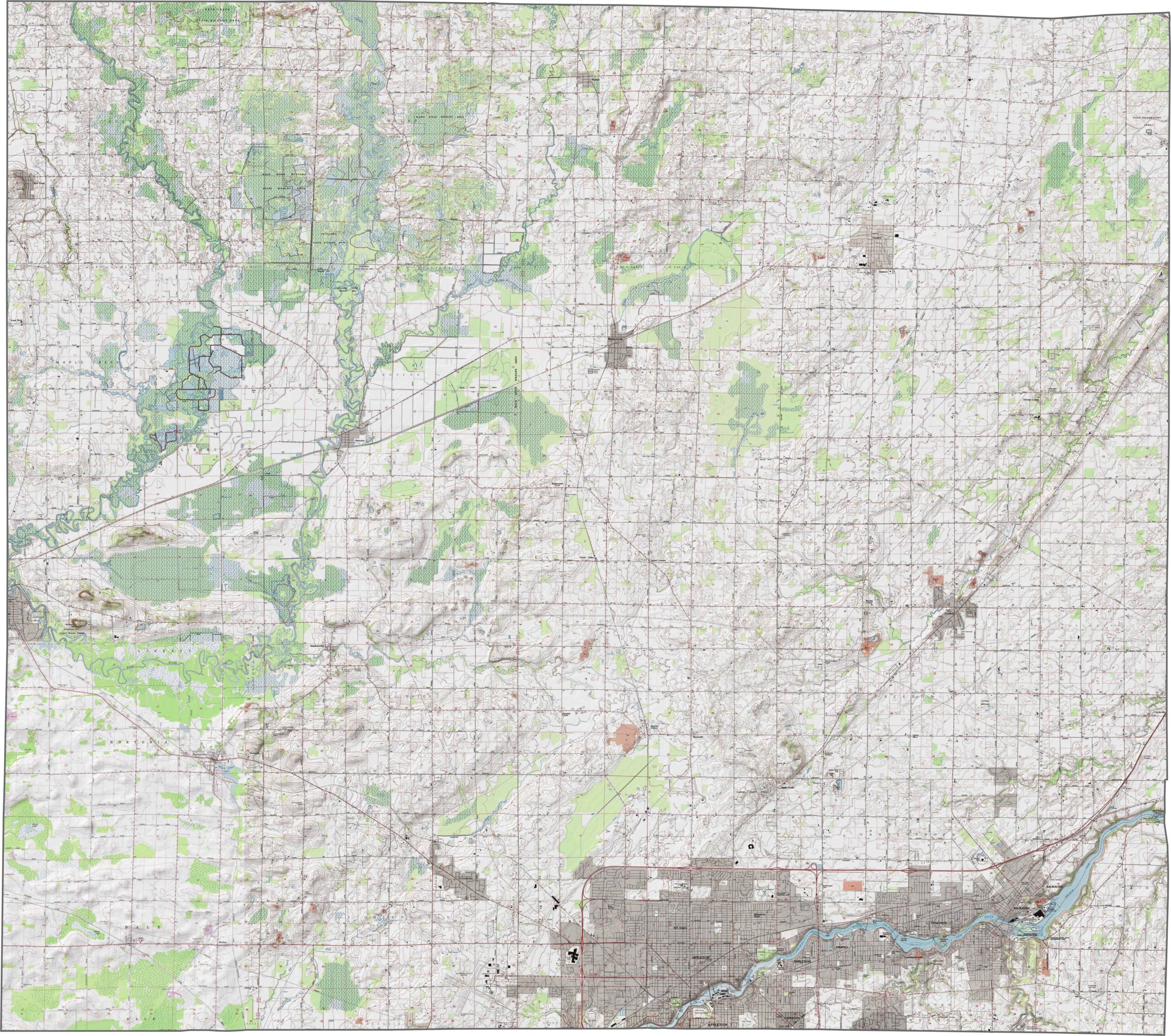
The land in Outagamie County is relatively flat, with long stretches of fertile plains. However, the Fox River flows through the county, carving a shallow valley through Appleton. While there aren’t any steep hills, subtle changes in elevation are noticeable near rivers, lakes, and other waterways.
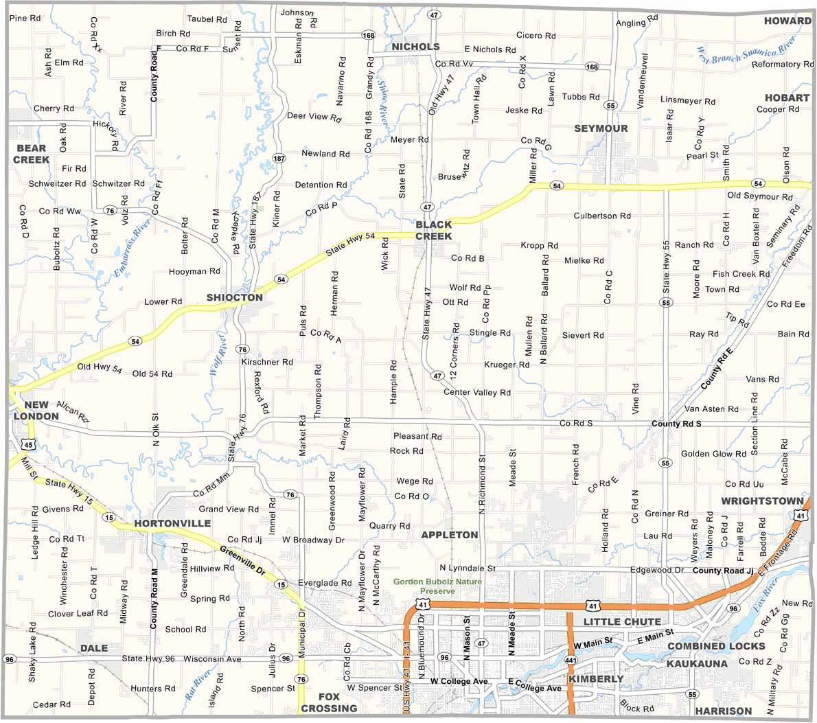
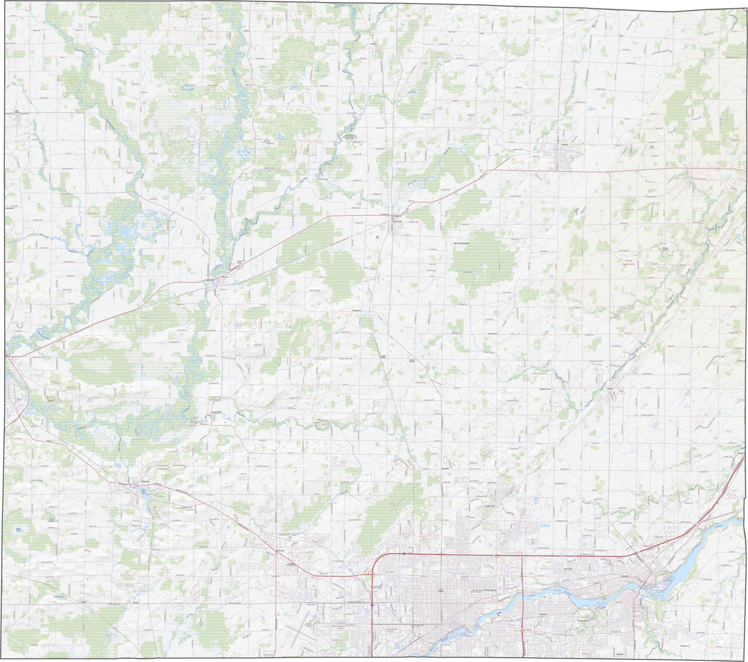
Interstate 41 cuts diagonally through the southeastern corner of Outagamie County. Although it serves as the main route, local roads branch out into surrounding farm fields and smaller towns. Traffic tends to increase near Appleton, but overall, driving through the area remains manageable.
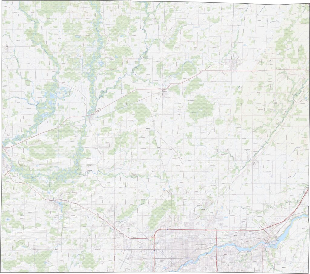
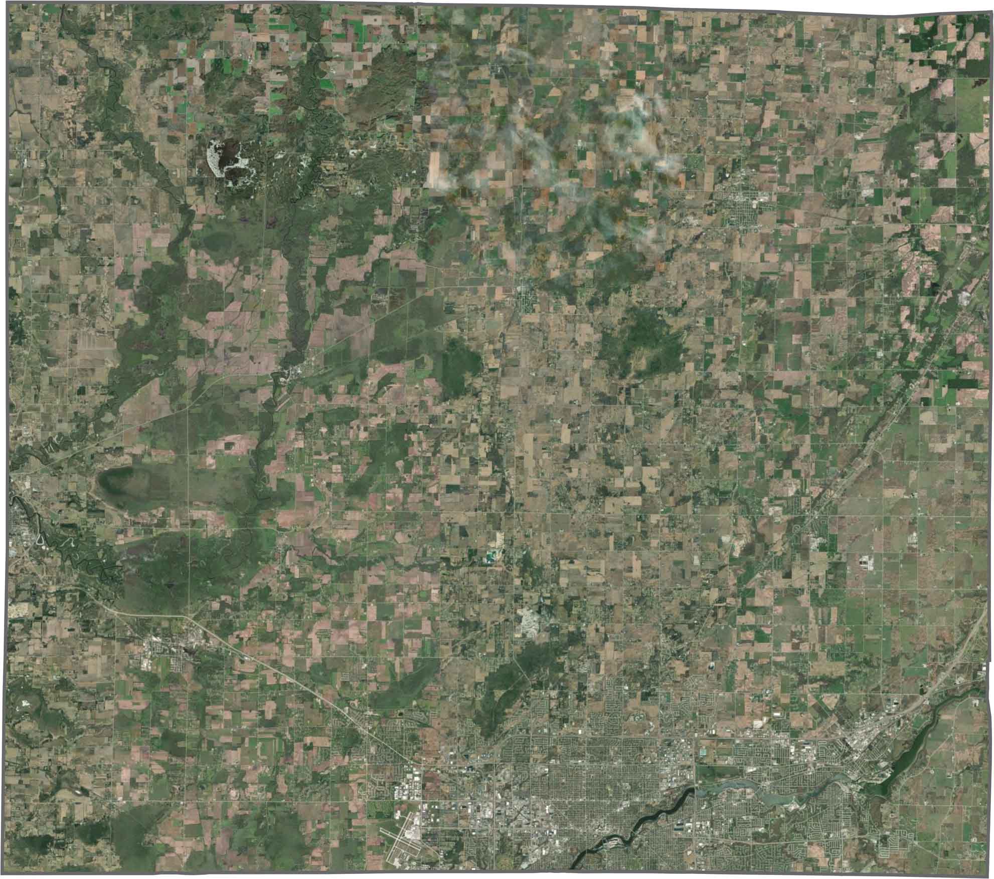
Appleton sits along the Fox River, with dense city blocks stretching along its banks. The rest of Outagamie County alternates between green farmland and small patches of forest. Other notable waterways include the Wolf River, Rat River, and Embarrass River.
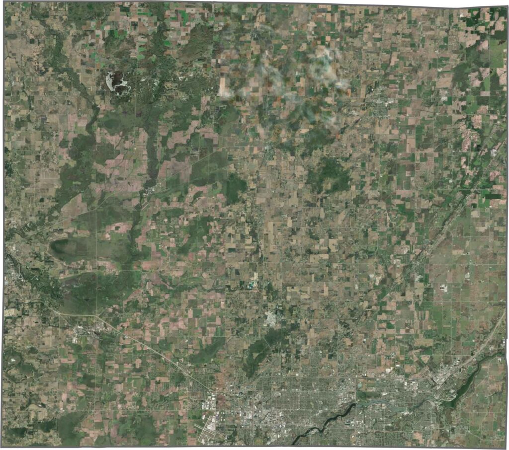
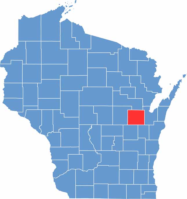
Outagamie County has a mostly rectangular shape, with minor curves along its northern and eastern edges. It does not border another state, and most of its boundaries are man-made, shaped by surveys and established property lines rather than natural features.


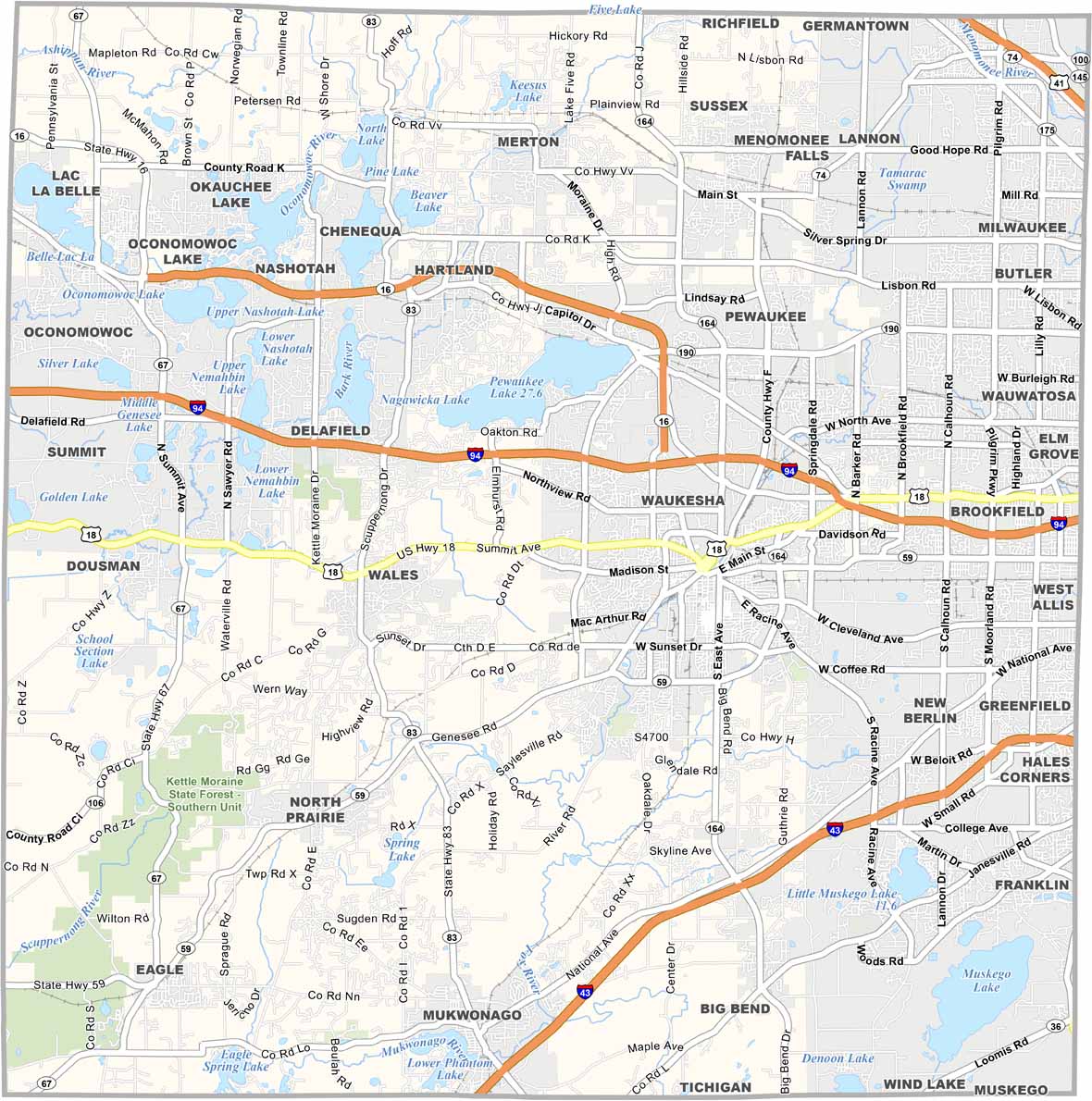


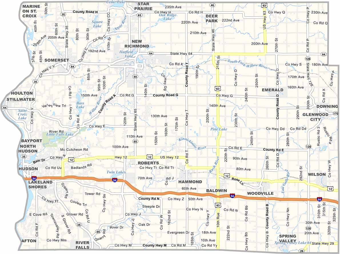


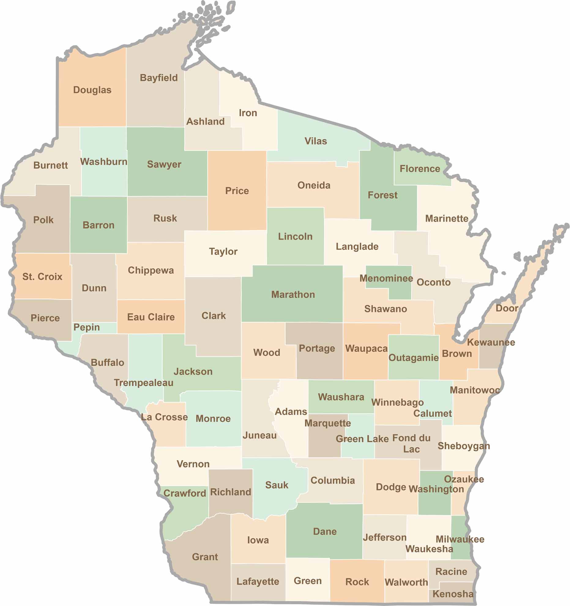
Wisconsin is known for its beer, cheese, and proud traditions, but the state’s 72 counties offer far more than familiar stereotypes. From the scenic shorelines of Lake Michigan and Lake Superior to sprawling dairy farms, dense forests, rolling bluffs, and picturesque river valleys, Wisconsin features an incredible variety of landscapes and communities.Each county has its own unique character, history, and attractions.