
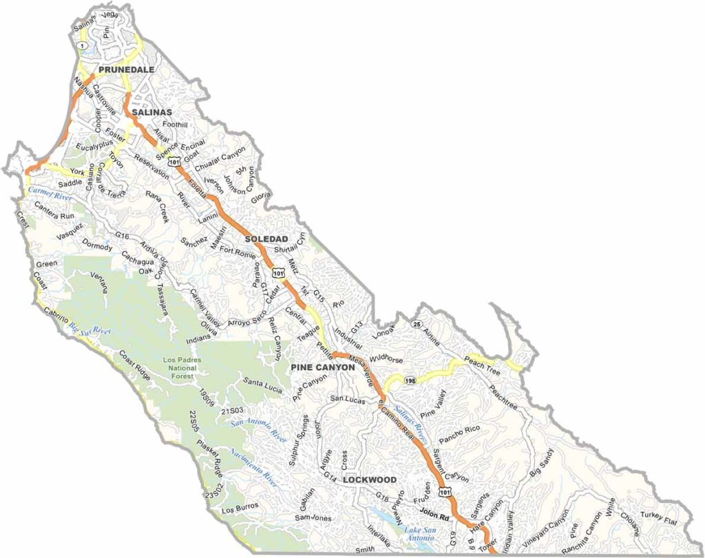
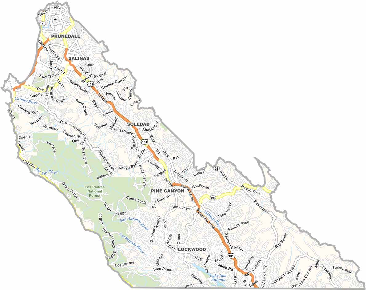
Monterey County offers an impressive mix of rugged coastline, fertile farmland, and mountain scenery. Coastal communities such as Carmel-by-the-Sea and Big Sur attract visitors with dramatic ocean views, while Monterey is famous for its world-class aquarium and historic Cannery Row.
Inland, the Salinas Valley is one of California’s major agricultural regions, producing large quantities of vegetables. The area was also a major inspiration for author John Steinbeck, whose novels often explored the people and landscapes of the Salinas Valley.
Monterey County has plenty of cultural and recreational attractions as well. The Monterey Jazz Festival draws music lovers from around the world, while Pebble Beach is renowned for its golf courses and spectacular coastal setting. From working farmland to luxury resorts, Monterey County has a remarkably diverse character.
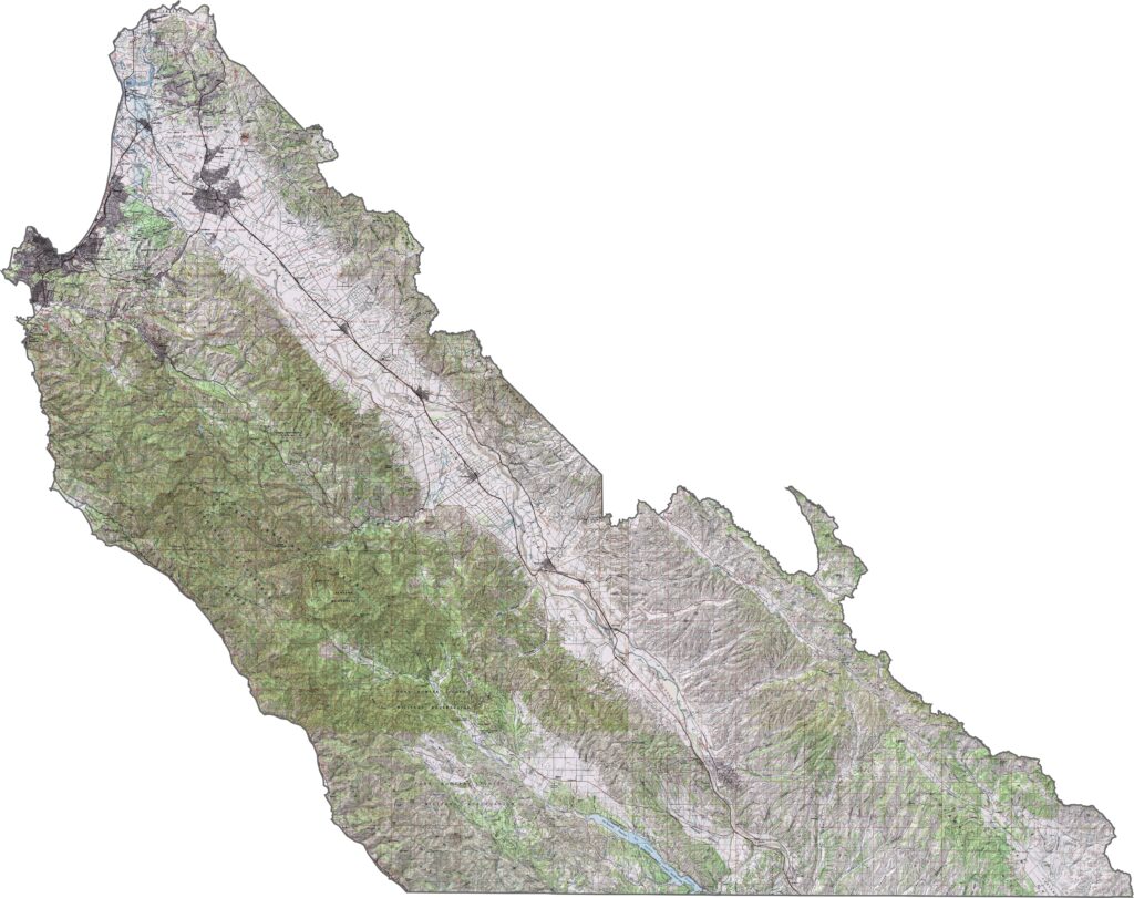
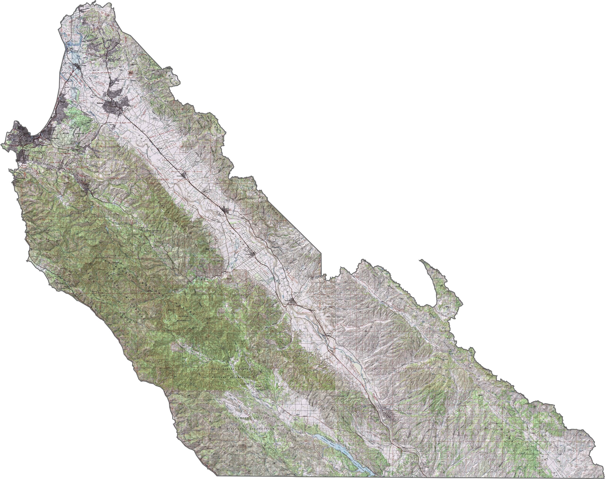
This topographic map highlights Monterey County’s rugged Big Sur coastline, fertile Salinas Valley, and steep Santa Lucia Mountains. The detailed contours reveal the county’s dramatic changes in elevation from the Pacific coast to the inland valleys.
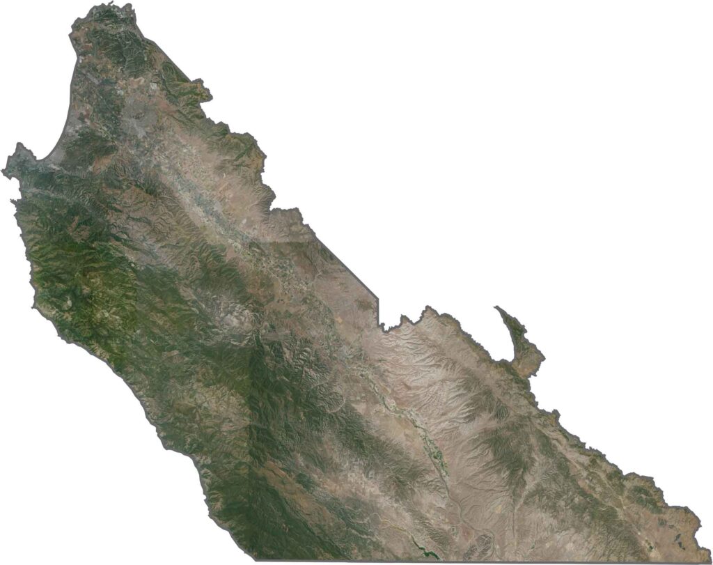
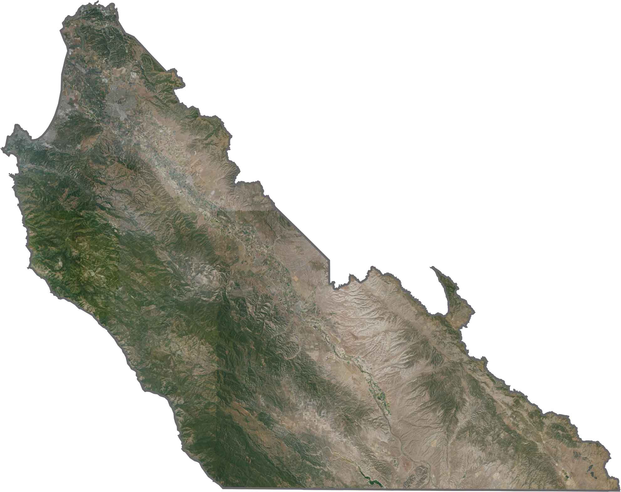
This satellite map shows the coastal mountains plunging toward the Pacific in the Big Sur region. Agricultural fields across the Salinas Valley form a striking green corridor between the surrounding mountain ranges.
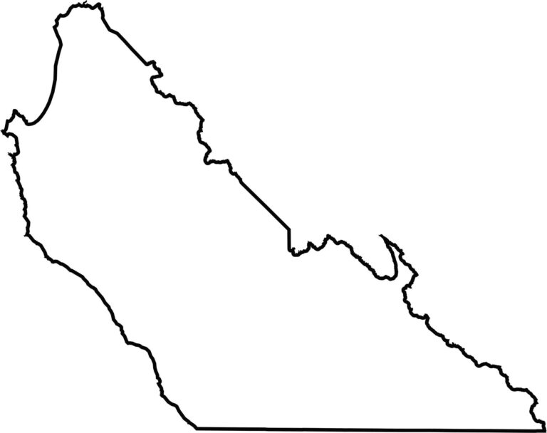
This blank map outlines Monterey County’s elongated shape along California’s central coast. The western edge follows the distinctive Big Sur coastline, while the interior extends across the Salinas Valley and surrounding mountain terrain.







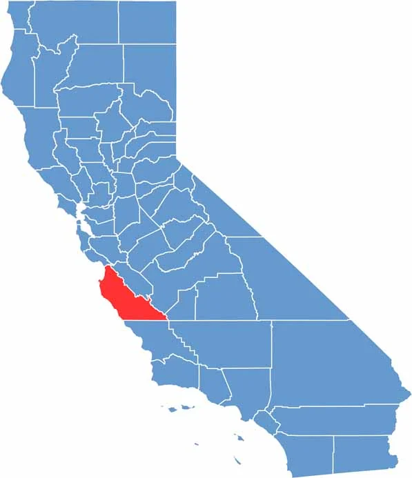
Ever wonder how California’s 58 counties are organized? Our California county map lays them all out, from the Pacific Coast to the vast desert regions. Explore the map to find the counties you know—and perhaps discover a few you don’t.