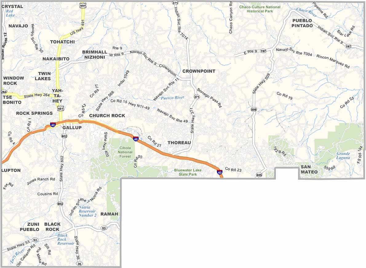
McKinley County Map, New Mexico

McKinley County, New Mexico

McKinley County sprawls across the northwestern corner of New Mexico. Gallup, the county seat, calls itself the "Heart of Indian Country," and for good reason. The Navajo Nation covers a big chunk of the county, and so does Zuni Pueblo.

The landscape is classic American Southwest, with red rocks, deep canyons, and wide-open skies. It's breathtaking. This place has been inhabited for thousands of years, and ancient petroglyphs prove it. Route 66 also runs through here, and you can still see remnants of its heyday.

The county is named after President William McKinley, the 25th President of the United States. Uranium mining was once big, but now tourism is taking over, with people coming from all over to experience Native American culture.
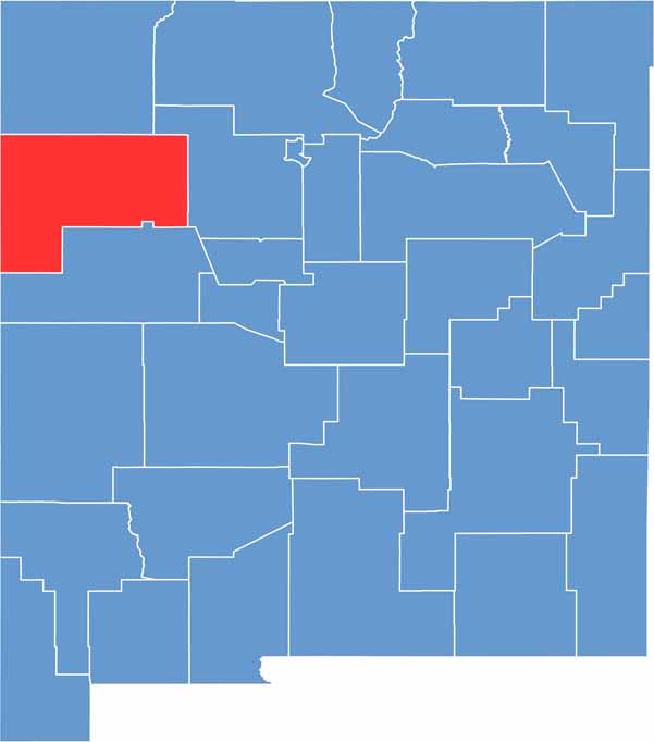

McKinley County location map of New Mexico
CategoryDetails
County NameMcKinley County
County SeatGallup
EtymologyNamed after William McKinley, 25th President of the United States
Cities, Towns, and CommunitiesGallup, Zuni Pueblo, Thoreau, Church Rock, Crownpoint
Interstates and HighwaysInterstate 40, U.S. Route 491, New Mexico State Road 602
FIPS Code35-031
Total Area (Land and Water)5,455 square miles (5,450 sq mi land, 5 sq mi water)
Adjacent Counties (and Direction)San Juan County (North), Sandoval County (East), Cibola County (South), San Juan County (North), Sandoval County (East), Cibola County (South), Apache County, Arizona (West)
Time ZoneMountain Time Zone (MT)
StateNew Mexico
Coordinates35.4995° N, 108.7126° W
Major LandmarksRed Rock Park, Chaco Culture National Historical Park (nearby), Navajo Nation Museum
PopulationApproximately 72,000
Scroll to Top