
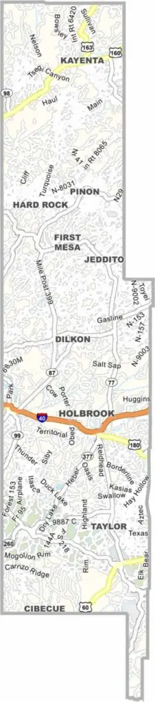
Navajo County is located in northeast Arizona and has a population of about 110,000 people. Holbrook serves as the county seat. Much of the Navajo and Hopi reservations are located within the county.
Petrified Forest National Park is one of the area's major attractions. The landscape includes forests, mesas, and painted deserts. Snowflake and Show Low are popular communities known for their cooler mountain climates.
Winters can be cold, while summers are hot in the lower areas. Ranching and tourism are important parts of the local economy. Outdoor activities such as hiking and fishing are also popular. The county offers a combination of small-town living and vast open spaces.
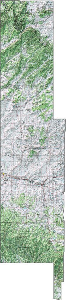
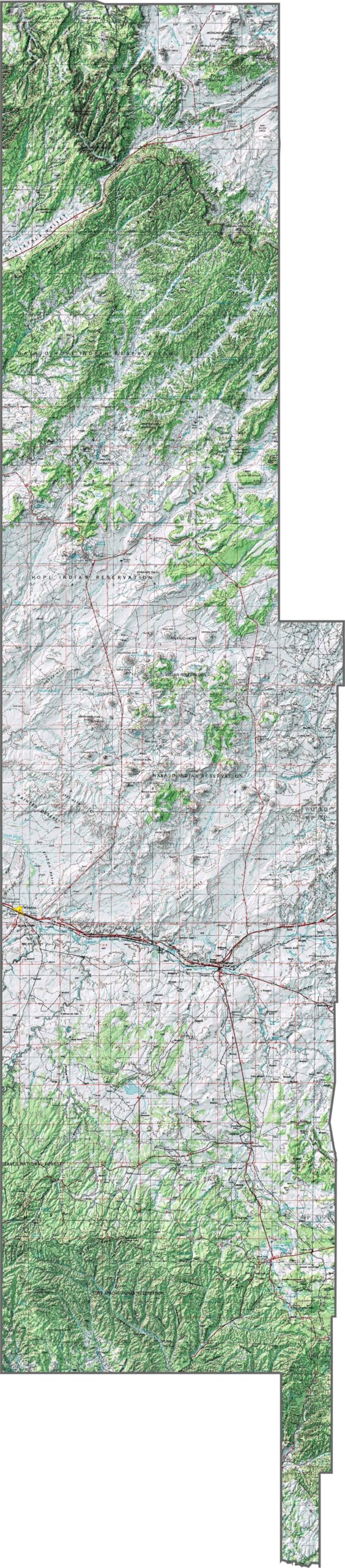
This topographic map of Navajo County highlights the elevation shift from high plateaus to lower desert regions. The contour lines show the impressive Mogollon Rim cutting across the county.
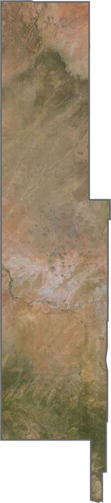
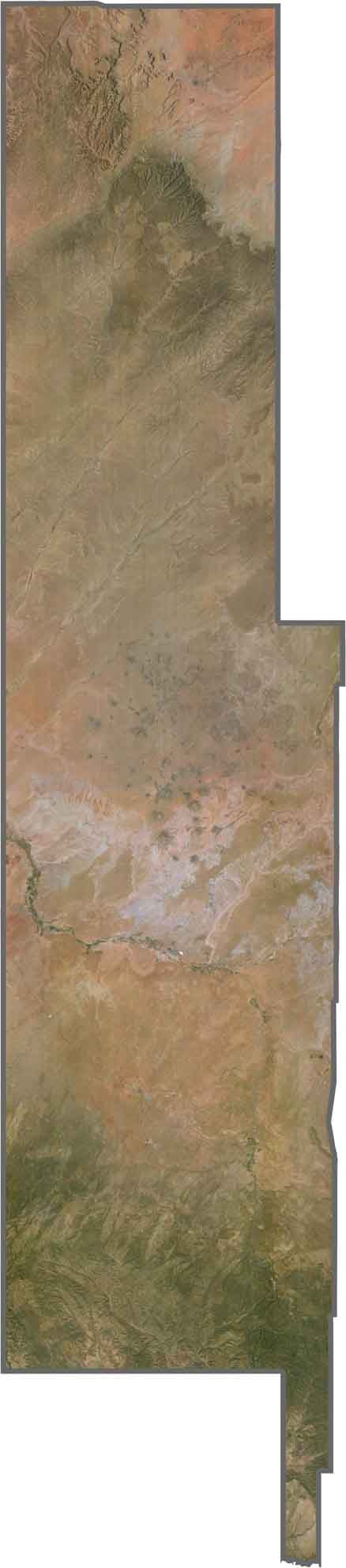
This satellite map of Navajo County shows the colorful mesas and plateaus that make the area instantly recognizable. You can trace the distinct boundary where forested highlands meet the Painted Desert lowlands.
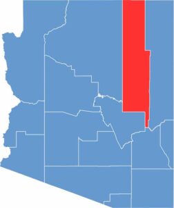
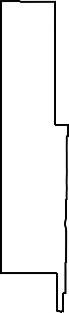
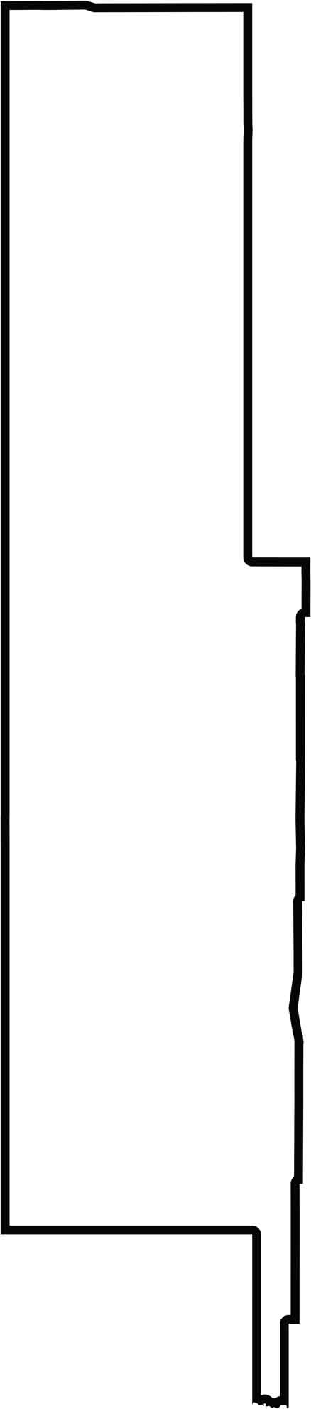
Check out this blank map of Navajo County, featuring its long, narrow rectangular shape across central Arizona. The outline shows how it stretches from the Utah border deep into the state.
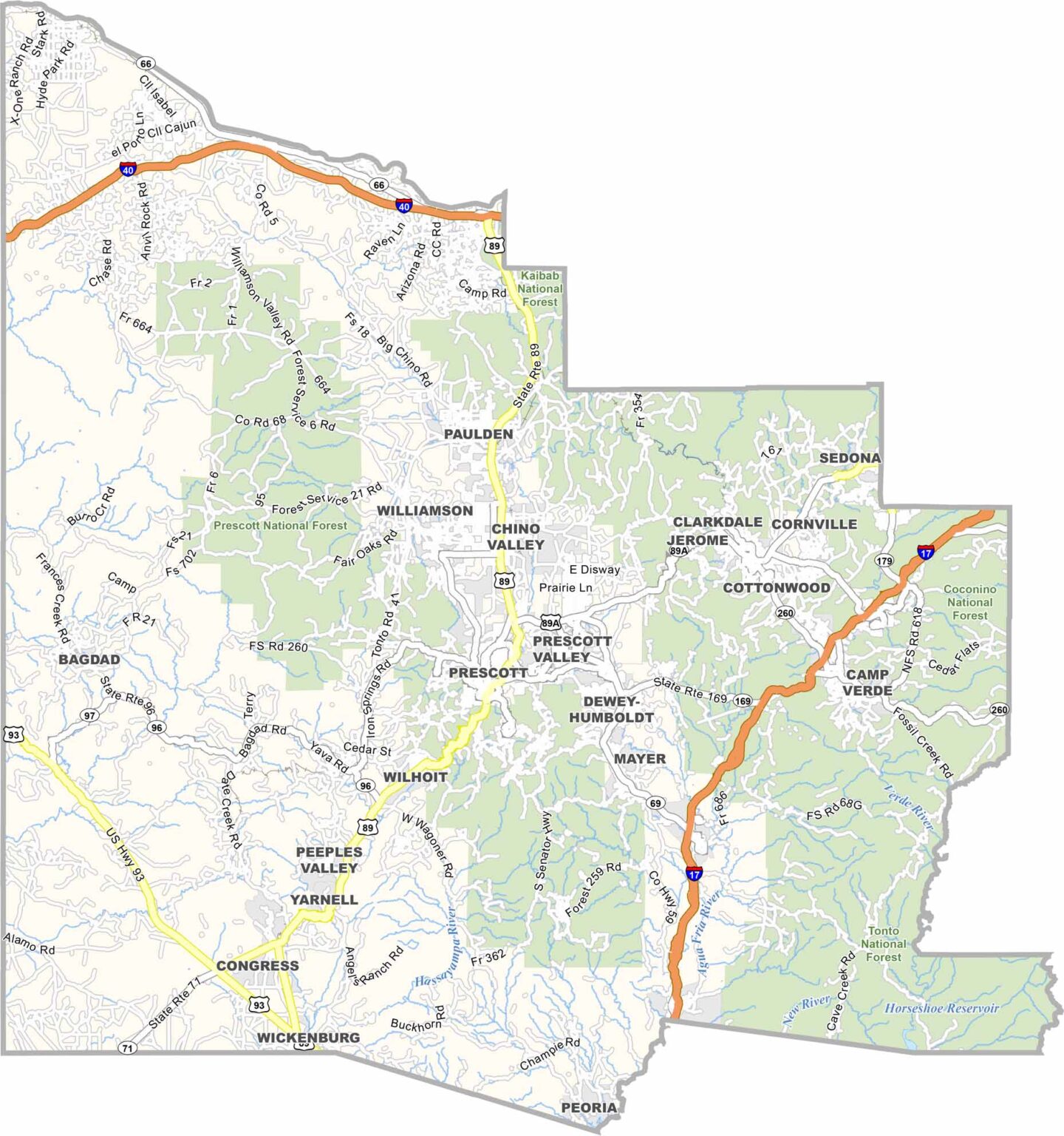
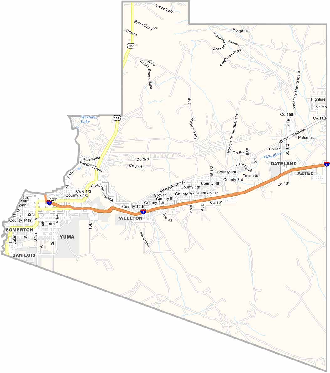
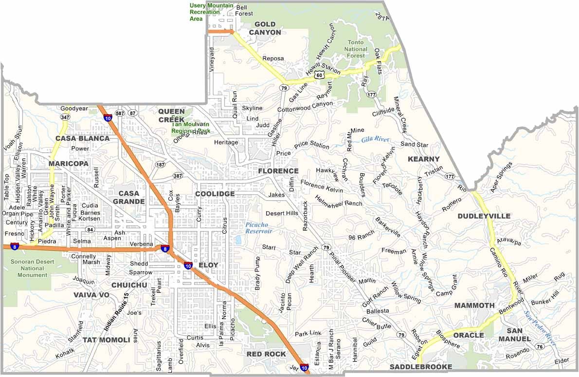
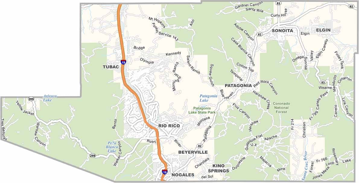
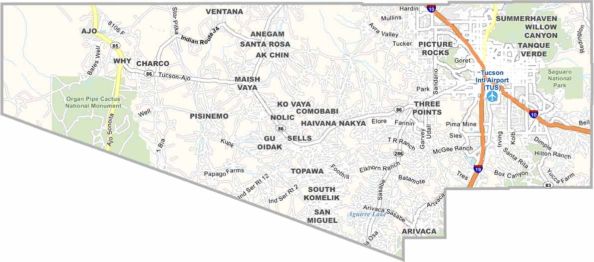
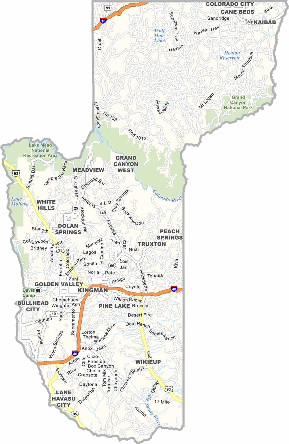
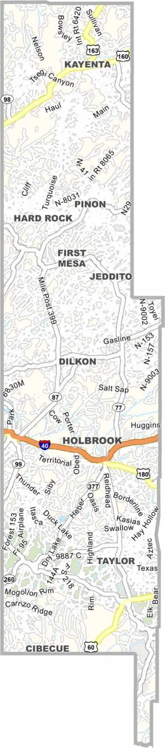
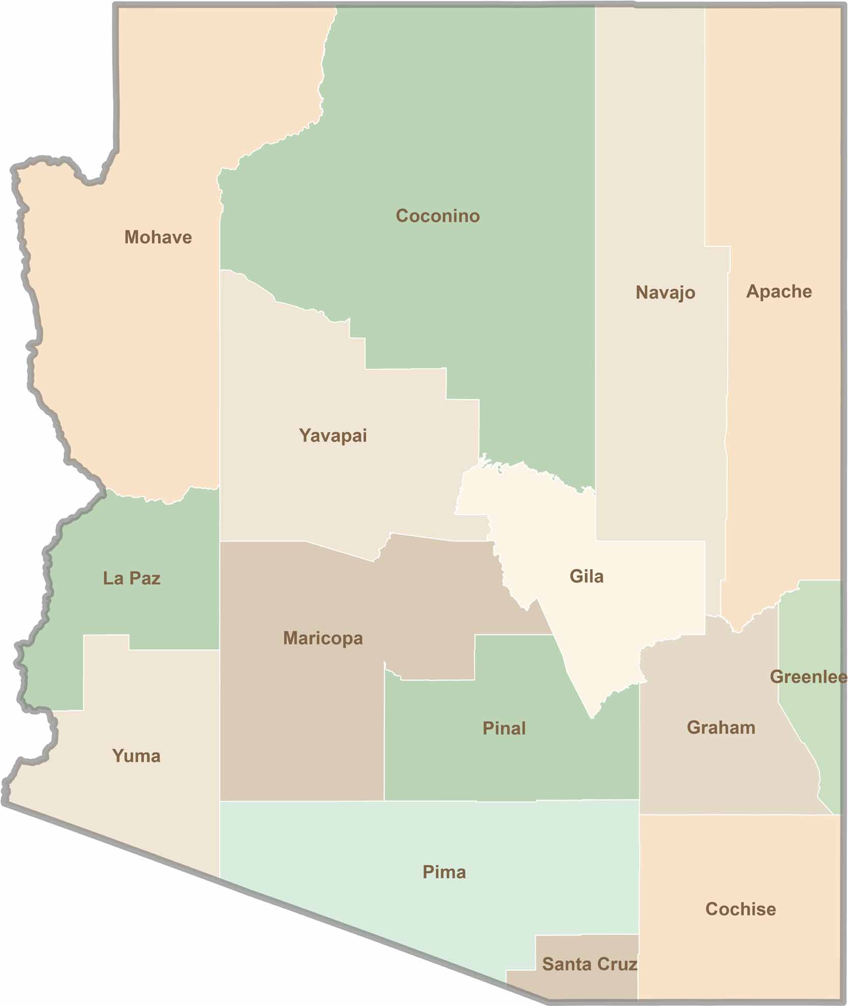
Explore all 15 counties in Arizona with our clear and colorful county map. Discover major cities, highways, landmarks, and geographic features across the Grand Canyon State. Whether you're planning an Arizona road trip, studying the state's geography, or exploring its diverse landscapes, our Arizona county map is a helpful resource for travelers, students, and geography enthusiasts.