
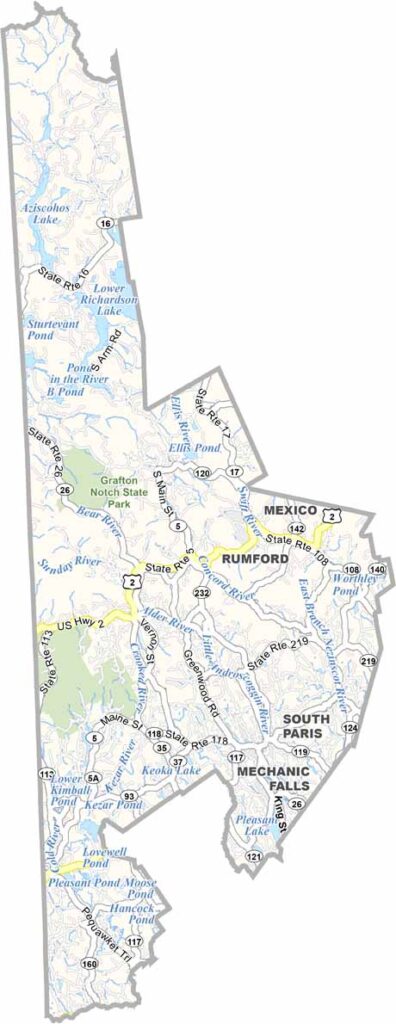
Bordering New Hampshire to the west, Oxford County stretches across western Maine. Here, you’ll find the White Mountains, dense forests, and sparkling lakes.
Locals love the area for its natural beauty and outdoor adventures. Hiking, fishing, and skiing are major draws, while Bethel becomes a popular tourist destination, especially during winter.
Rumford is known for its paper industry. The Appalachian Trail passes through the county, bringing hikers from near and far. Paris serves as the county seat.
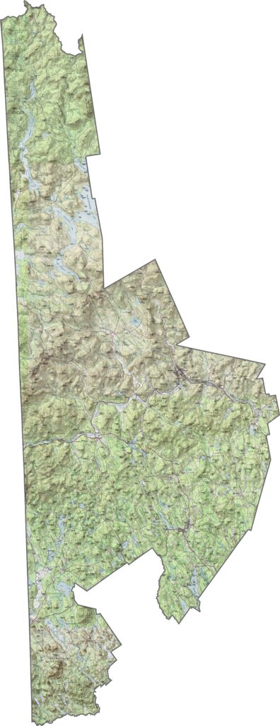
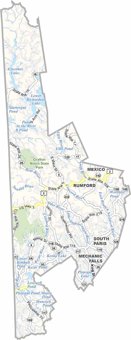
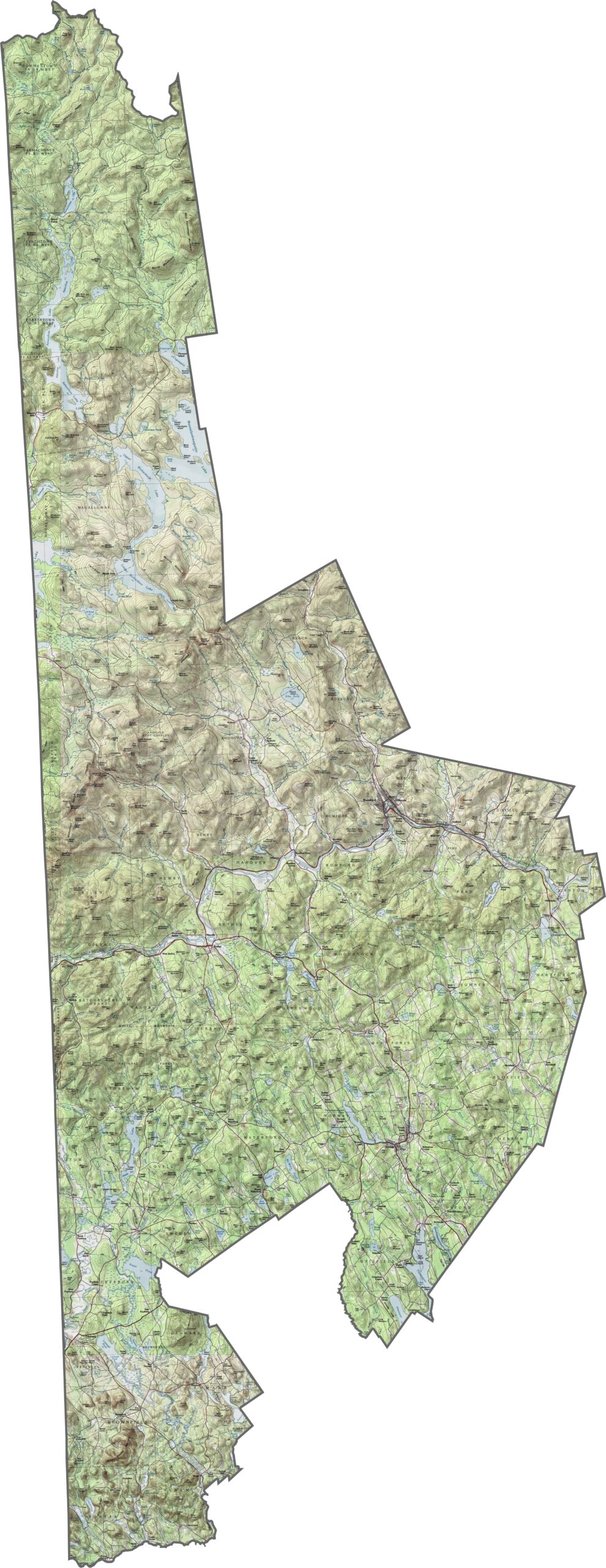
Oxford County has rolling farmland in the east that gives way to rugged mountains in the west. The hills rise sharply in some areas, especially near the New Hampshire border. Get to know Oxford County with our interactive zoom tool.
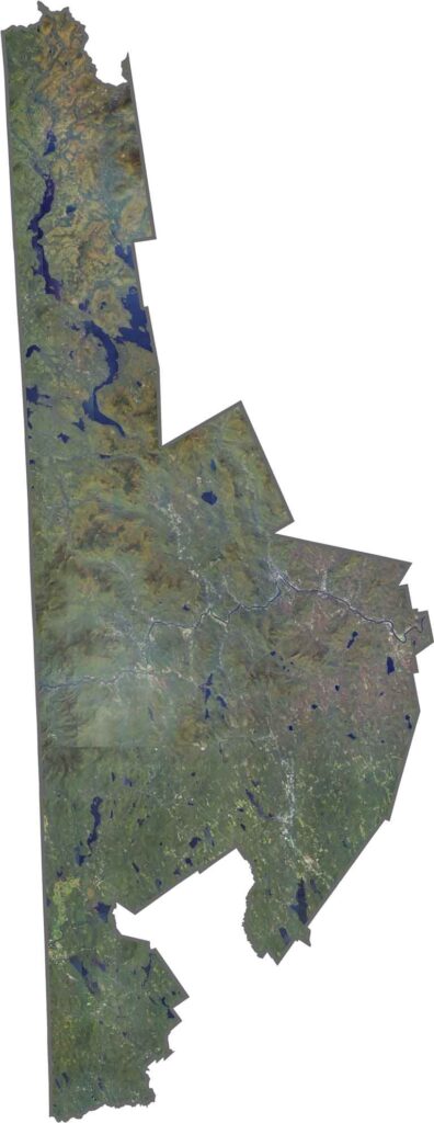
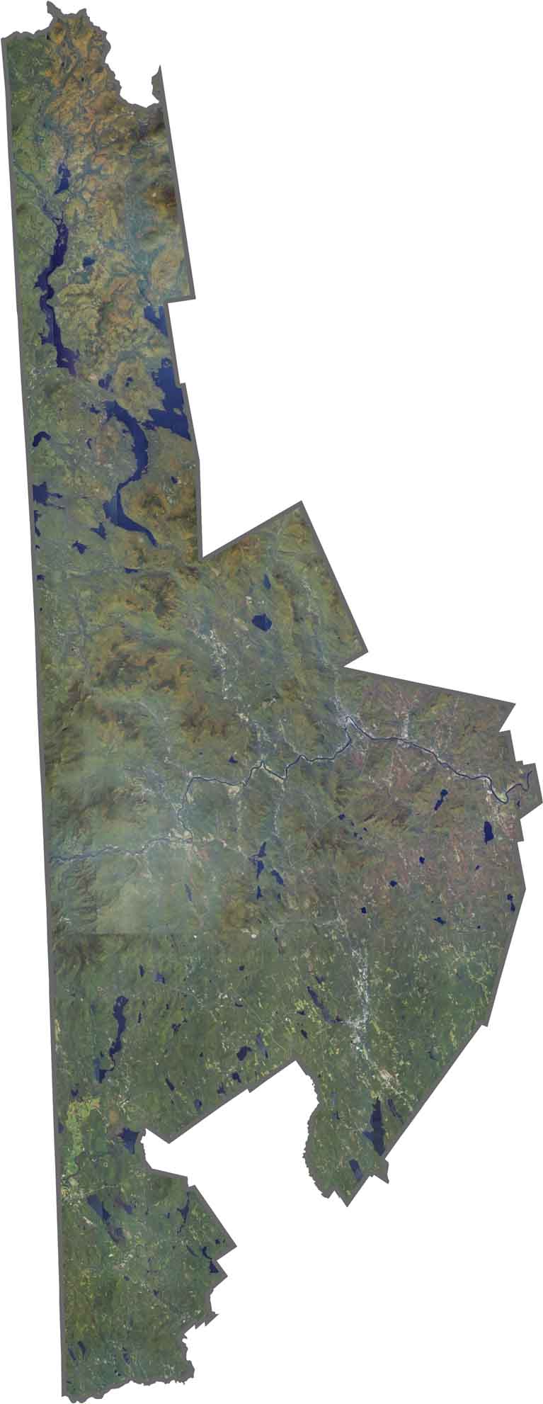
Our Oxford County satellite map highlights the many lakes across the county. Lakes like Upper Richardson and Mooselookmeguntic immediately catch the eye. The Androscoggin River winds its way through the county.
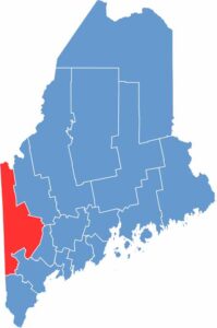
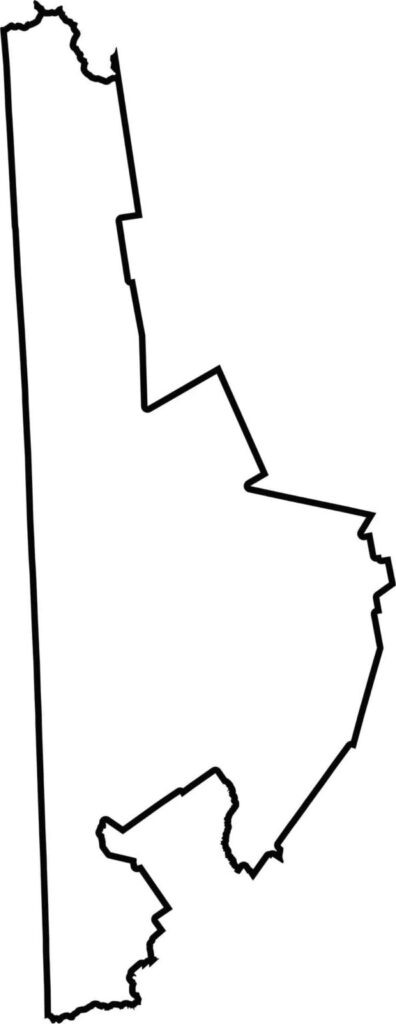
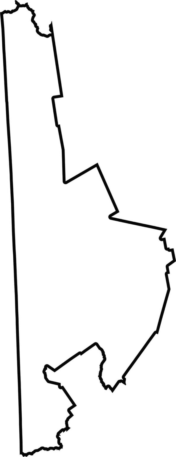
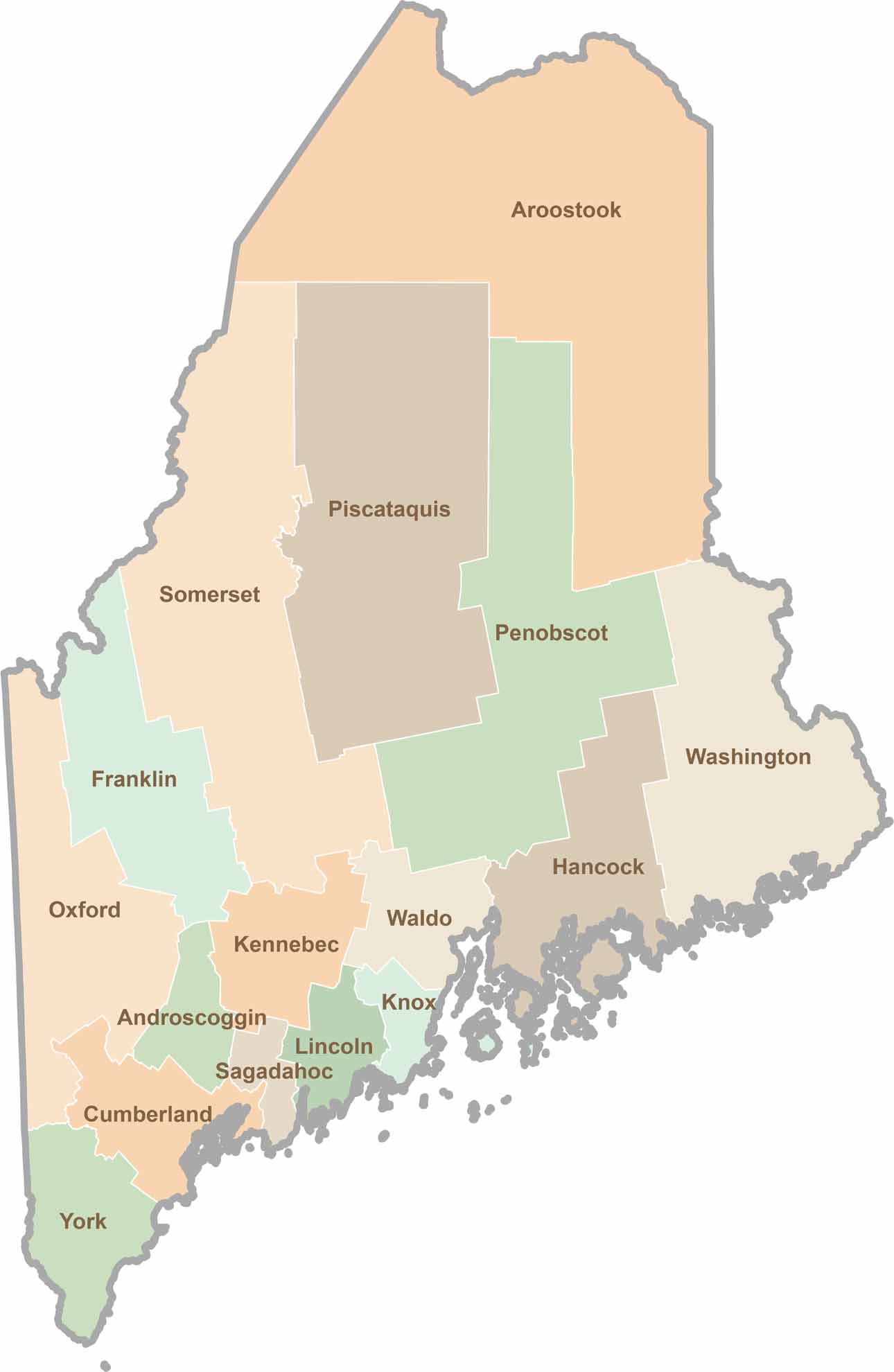
Oxford County has a rough rectangular shape, stretching broadly along the Maine-New Hampshire border. It also borders Franklin, Cumberland, and York Counties.
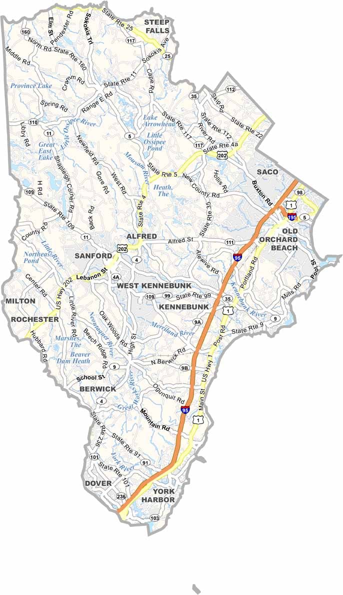
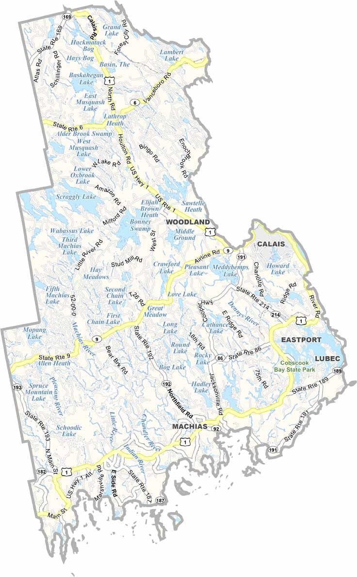
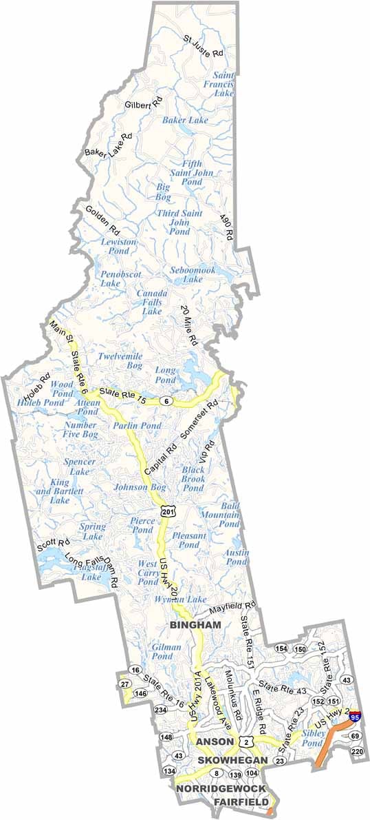
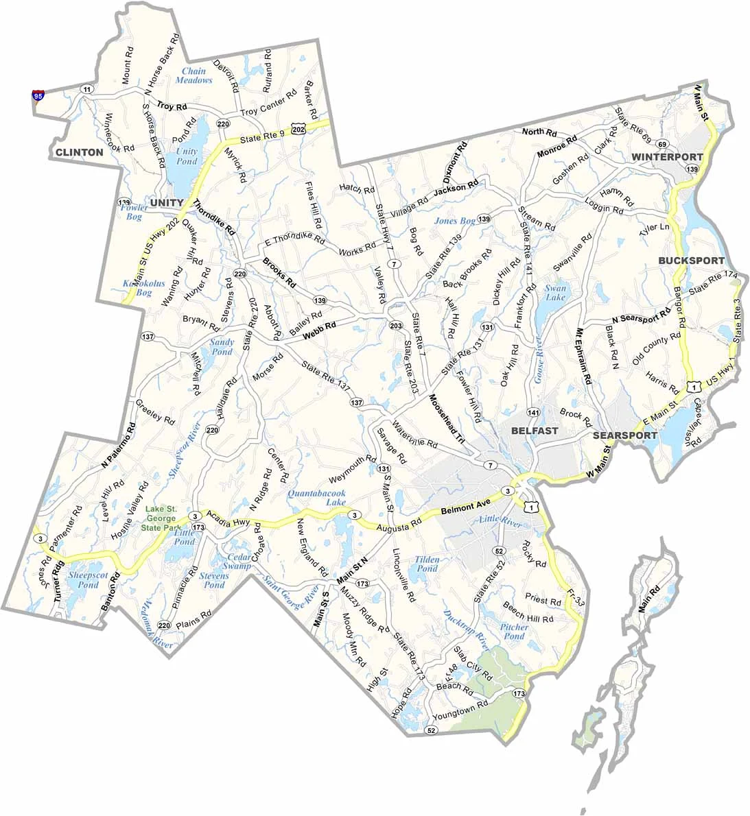
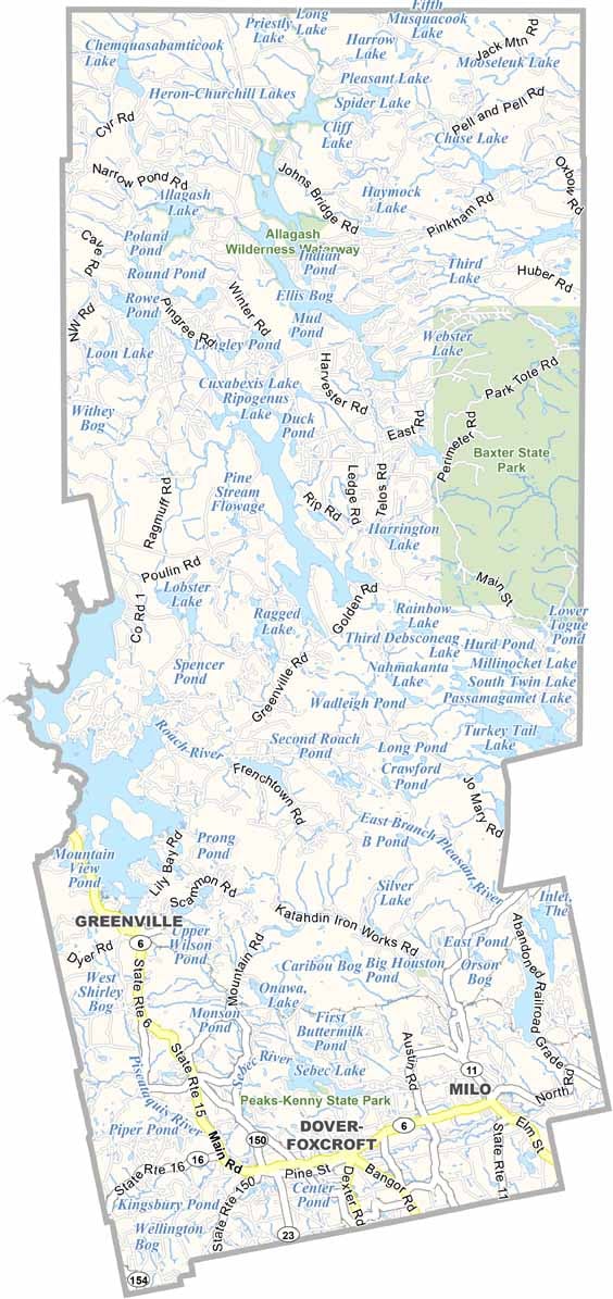
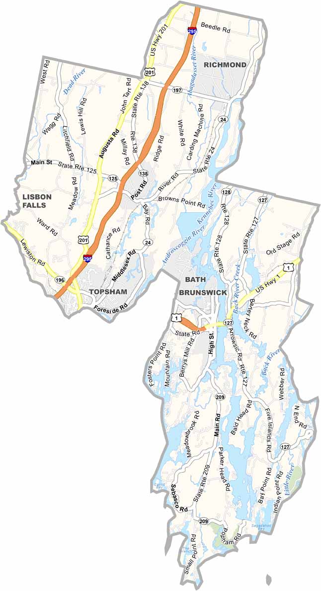
Life moves at the pace of the tides here. One day might be spent hiking forest trails, and the next watching fog roll over quiet harbors. Discover what makes each county special with our Maine county maps.