
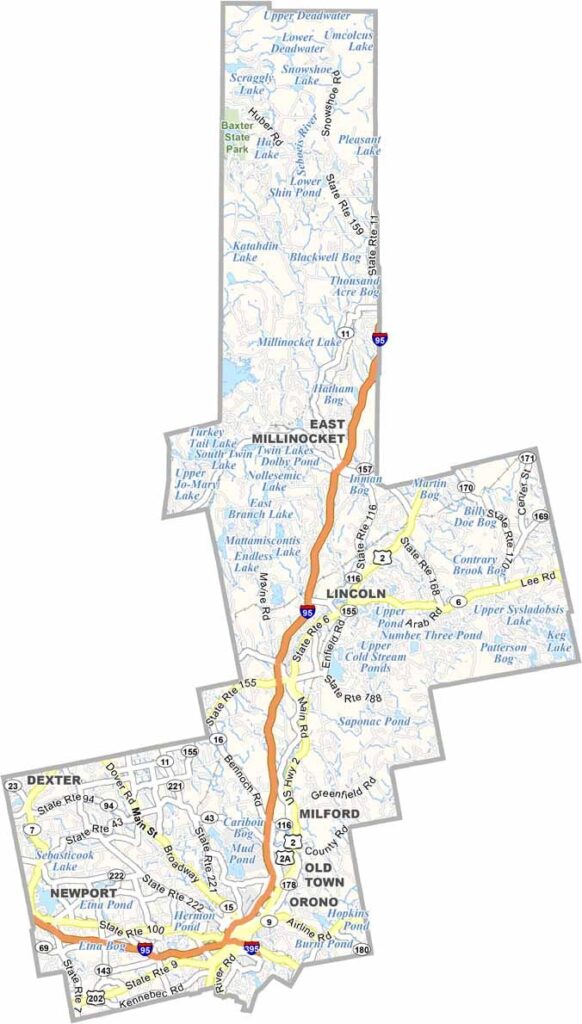
Penobscot County is located roughly in the middle of Maine. It’s big. Really big. In fact, it’s the fourth-largest county in the state.
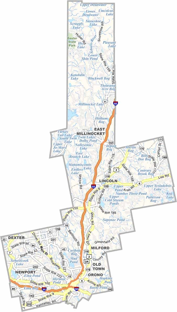
Bangor is the county seat. People call it the “Queen City” because it serves as a regional hub. You’ll find a mix of city life and wilderness here. The Penobscot River runs through the county, offering great spots for fishing and kayaking.
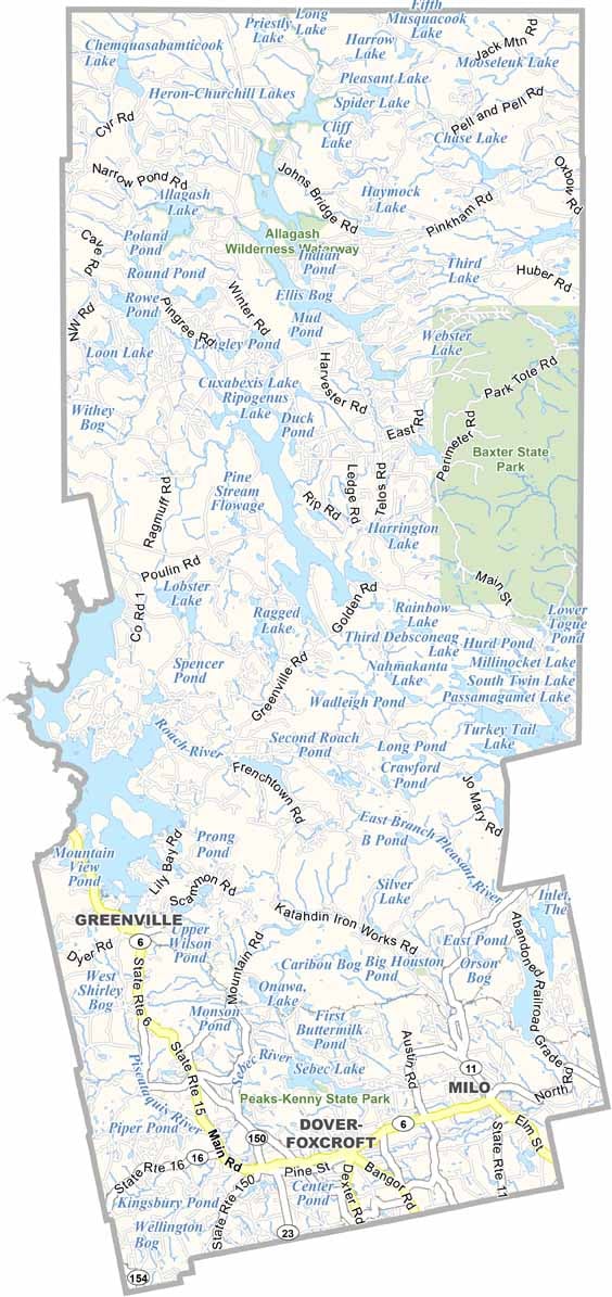
Visitors enjoy heading to Baxter State Park, home to Mount Katahdin, the highest peak in Maine. Looking for a good education? The University of Maine’s main campus is in Orono.
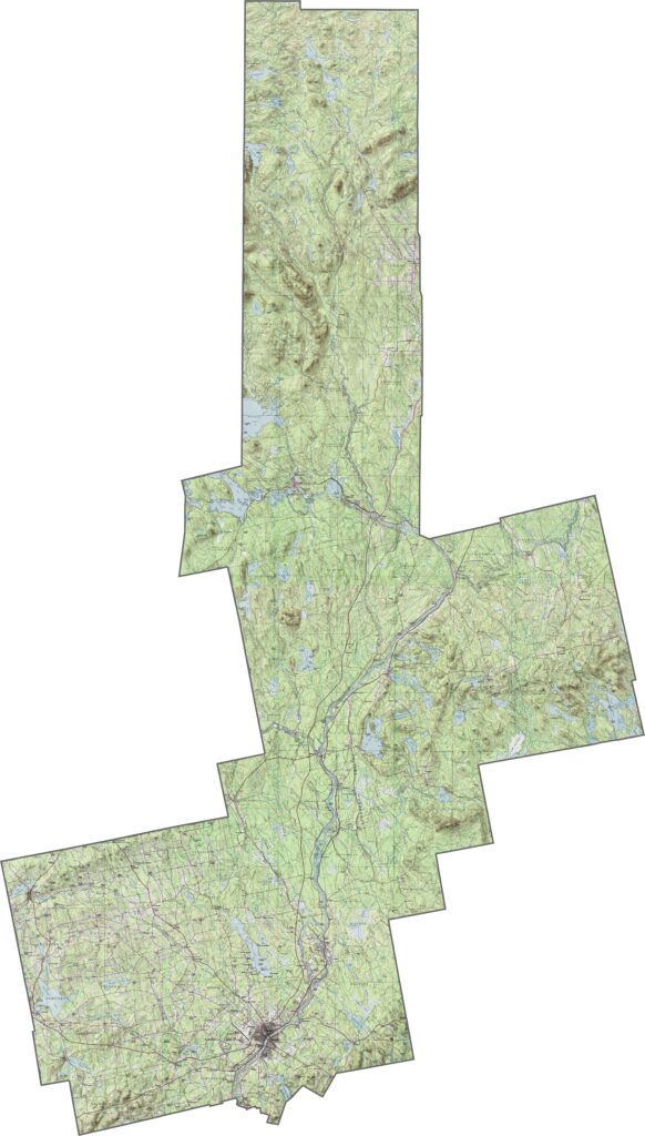
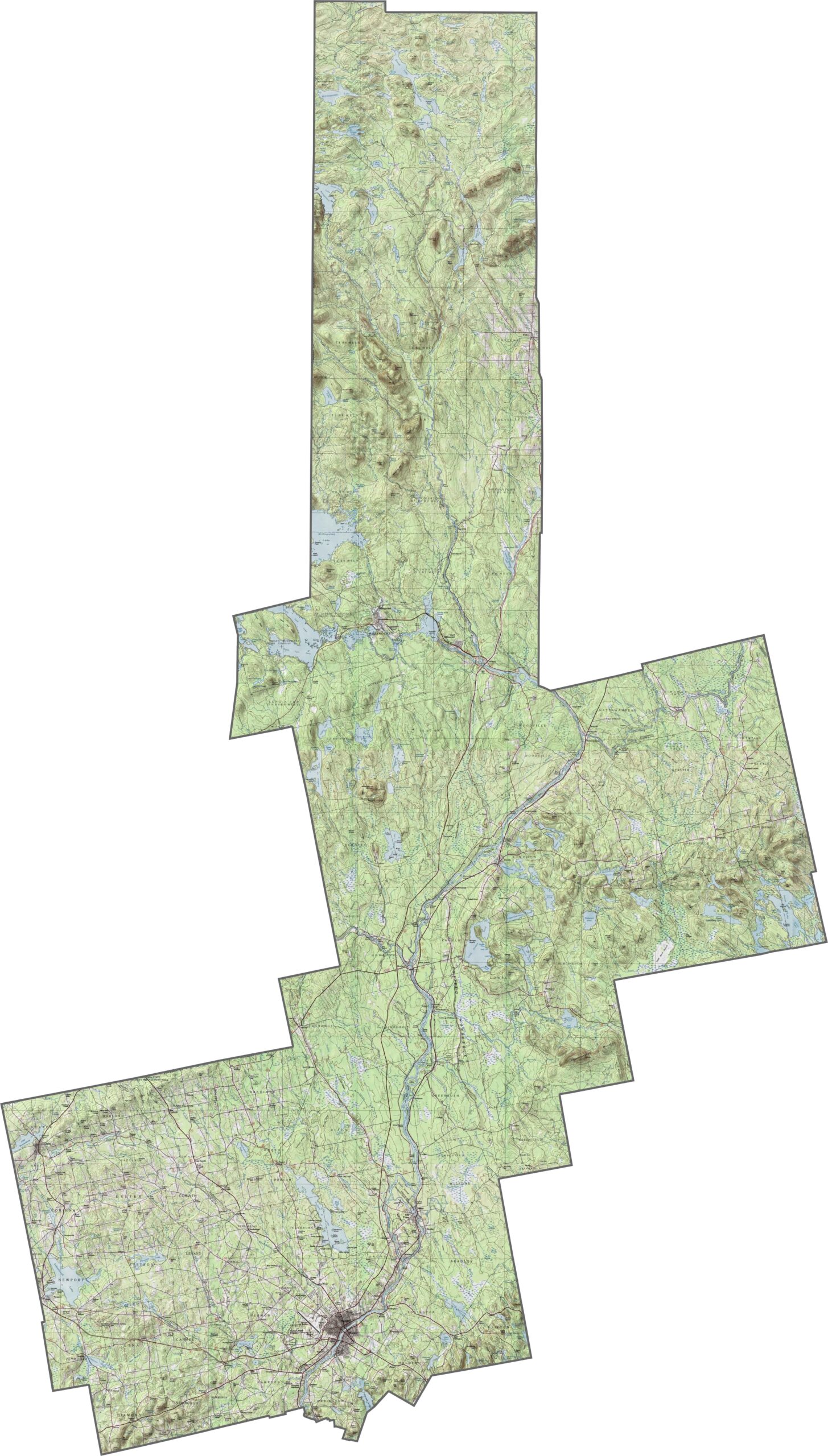
Penobscot County’s terrain changes from the flat, farmland-rich Penobscot River Valley to the forested highlands in the north. The central area is gently rolling, while the landscape becomes more rugged near Baxter State Park. Explore all the physical details with our zoom feature.
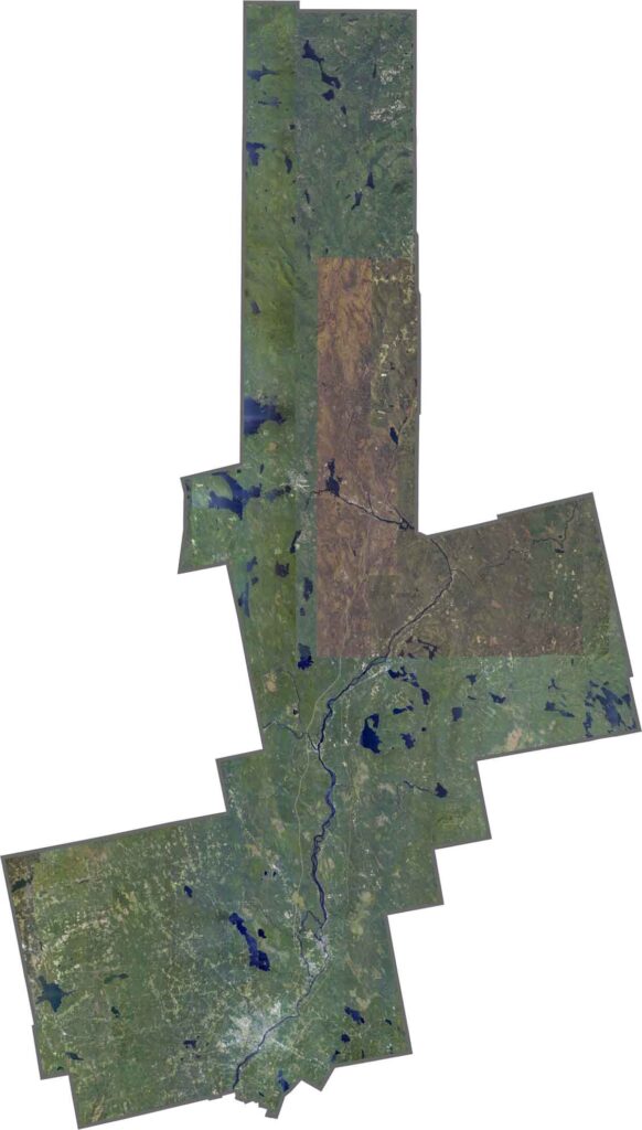
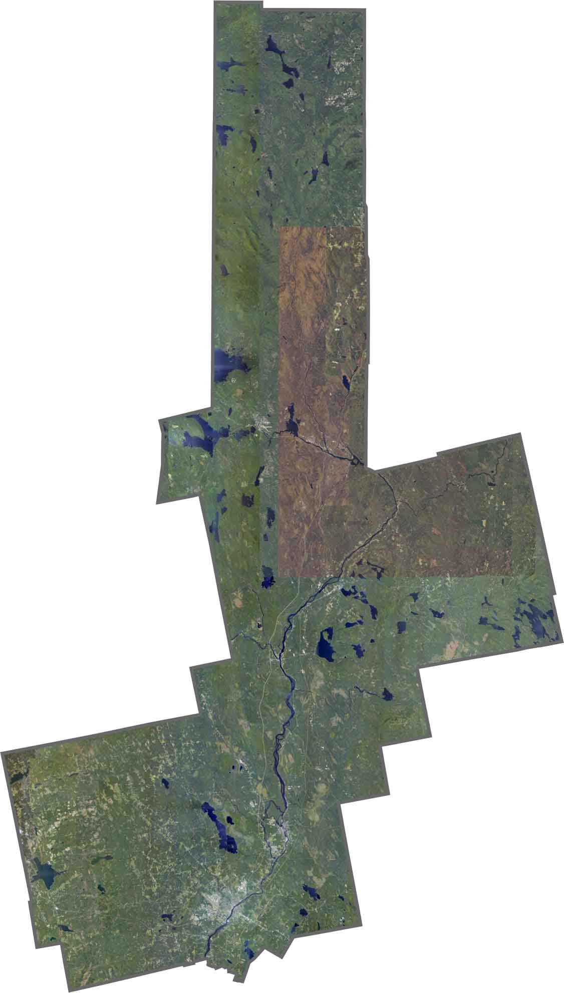
The Penobscot River is a wide waterway that essentially divides the county in two. Vast forests stretch northward, while Bangor stands out in gray.
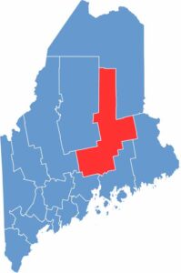
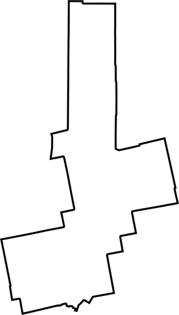
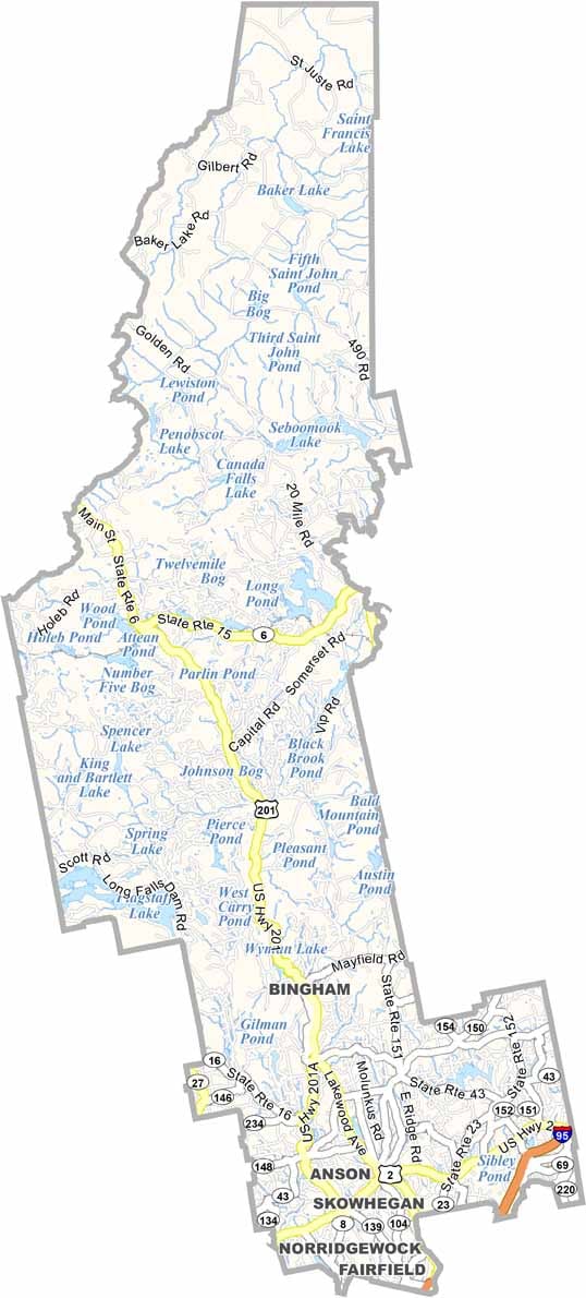
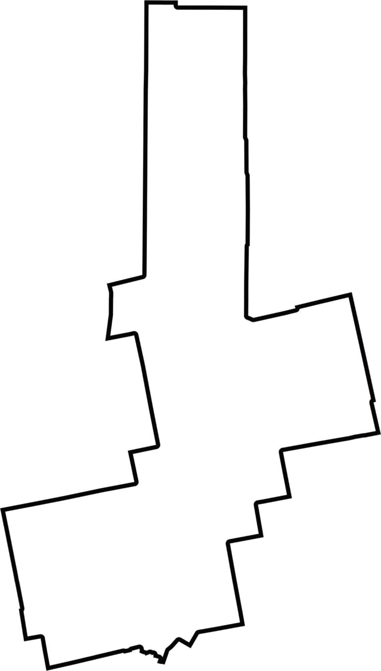
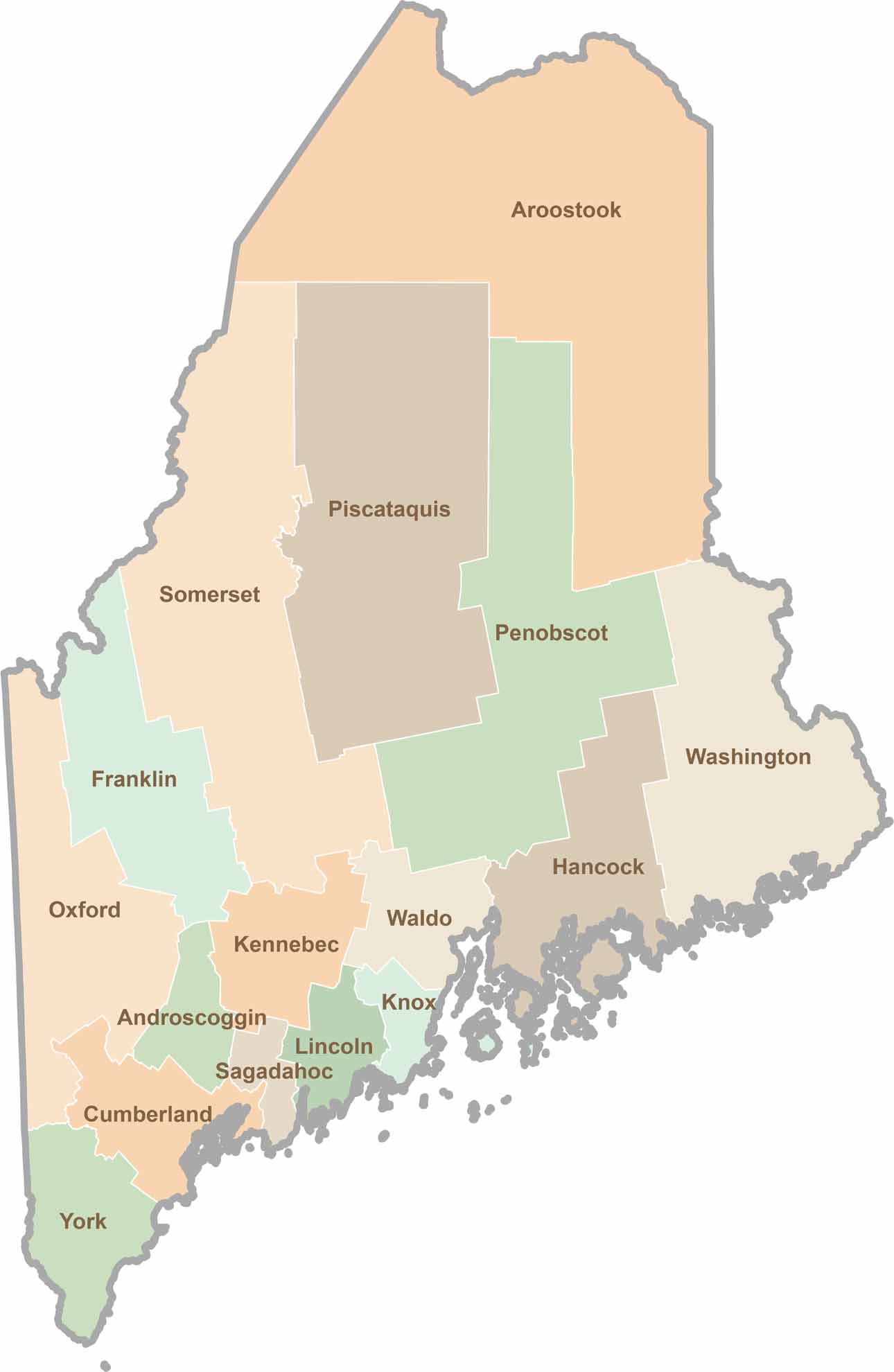
Penobscot County is large and irregularly shaped, with several outward-bulging sections. It borders Aroostook, Piscataquis, Somerset, and Waldo Counties, along with a small section of Hancock County.
Life moves at the pace of the tides here. One day might be spent hiking forest trails, and the next watching fog roll over quiet harbors. Discover what makes each county special with our Maine county maps.