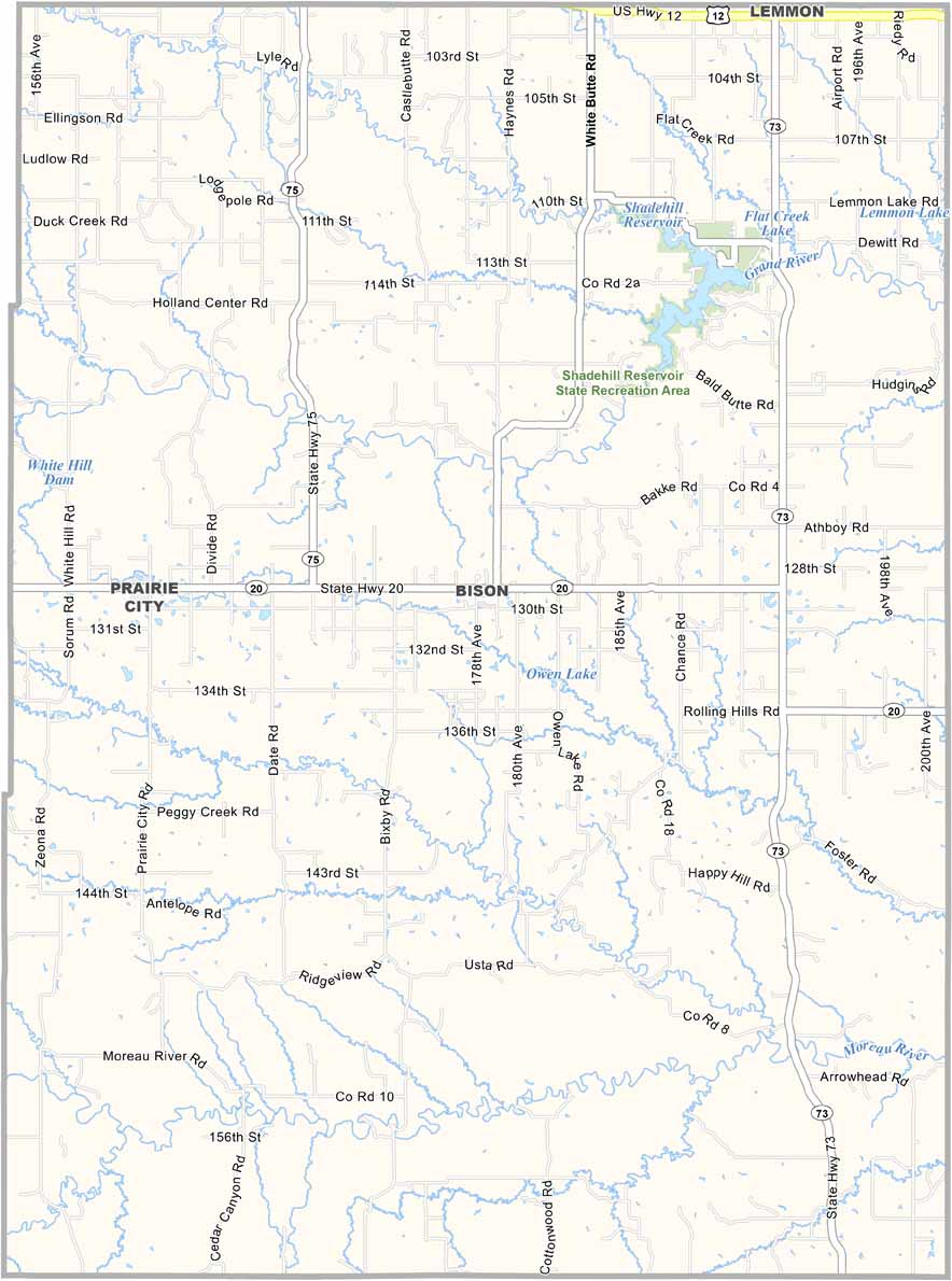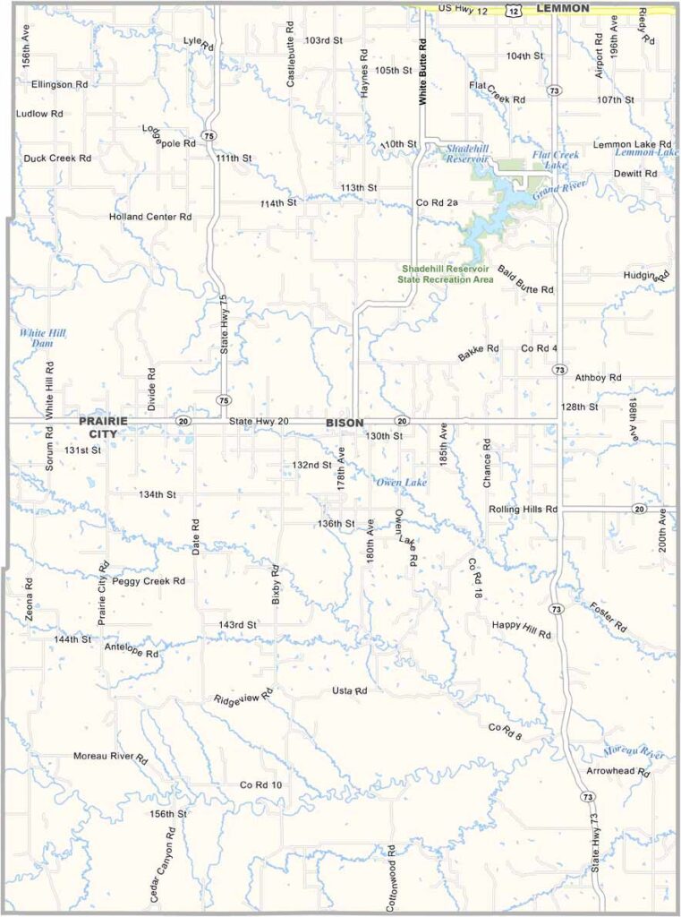
Perkins County Map, South Dakota

Perkins County, South Dakota

Perkins County sits in the northwestern corner of South Dakota. Wide-open spaces define this rural county. Bison once roamed these grasslands freely, but today, cattle graze across the rolling plains.

The county seat is Bison, but the area is mostly known for Lemmon and its unique Petrified Wood Park. It’s a quirky roadside attraction worth seeing.

The locals are tough and used to extreme weather. Agriculture drives the local economy, and you’ll find some of the friendliest folks around in these parts. The sunsets here are something else.
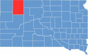

Perkins County location map of South Dakota
CategoryDetails
County NamePerkins County
County SeatBison
EtymologyNamed after Henry B. Perkins, a former state senator
Cities, Towns, and CommunitiesBison, Lemmon, Lodgepole, Meadow, Prairie City
Interstates and HighwaysU.S. Highway 12, State Highway 20
FIPS Code46-105
Total Area (Land and Water)2,891 square miles (2,871 sq mi land, 20 sq mi water)
Adjacent Counties (and Direction)Adams County, North Dakota (North), Corson County (East), Ziebach County (Southeast), Meade County (South), Butte County (Southwest), Harding County (West)
Time ZoneMountain Time Zone (MST)
StateSouth Dakota
Coordinates45°30’N, 102°30’W
Major LandmarksLemmon Petrified Park, Shadehill Reservoir, Grand River Museum
PopulationApproximately 2,800
Scroll to Top