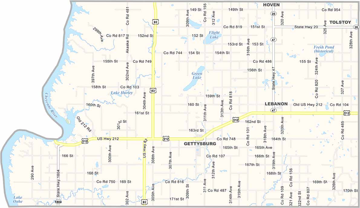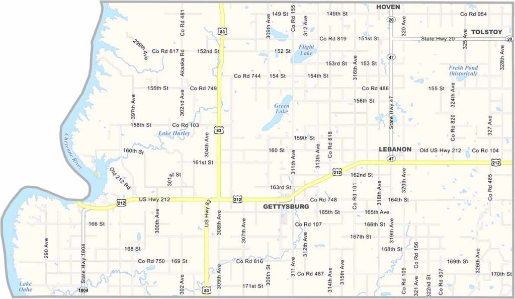
Potter County Map, South Dakota

Potter County, South Dakota

Potter County sits in central South Dakota, slightly north of the state’s center. Ever heard of Gettysburg? Not the one in Pennsylvania. This Gettysburg serves as Potter County’s seat.

They say the county is flat as a pancake, but don’t let that fool you. There’s beauty in its simplicity. The Missouri River forms the county’s western border, making fishing and hunting popular activities.

Farmers work the land, growing wheat, corn, and soybeans. It’s quiet. Peaceful. The kind of place where storms roll quickly across the plains. You can see them coming for miles.
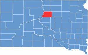

Potter County location map of South Dakota
CategoryDetails
County NamePotter County
County SeatGettysburg
EtymologyNamed after Joel A. Potter, a legislator in Dakota Territory
Cities, Towns, and CommunitiesGettysburg, Hoven, Lebanon, Tolstoy
Interstates and HighwaysU.S. Highway 212
FIPS Code46-107
Total Area (Land and Water)899 square miles (866 sq mi land, 33 sq mi water)
Adjacent Counties (and Direction)Walworth County (North), Edmunds County (Northeast), Faulk County (East), Hyde County (Southeast), Sully County (South), Dewey County (West)
Time ZoneCentral Time Zone (CST)
StateSouth Dakota
Coordinates45°04’N, 99°57’W
Major LandmarksWhitlock Bay, Potter County Courthouse, Gettysburg Battlefield
PopulationApproximately 2,200
Scroll to Top