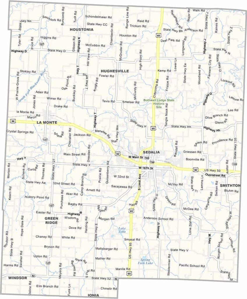
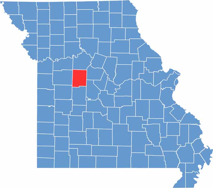
Pettis County is located in central Missouri and is best known for Sedalia, its largest city and county seat. Sedalia hosts the Missouri State Fair each August, attracting visitors from across the state and making it one of Missouri’s most recognized communities.
The county features a blend of prairie landscapes and wooded areas, providing opportunities for hiking, outdoor recreation, and enjoying the natural scenery. Pettis County also has a rich railroad heritage that helped shape its early development.
Founded in 1833, the county was named after Spencer Pettis, a Missouri congressman whose life ended in a famous duel. The nearby Whiteman Air Force Base adds to the region’s significance and is home to military operations that occasionally bring sightings of B-2 Spirit stealth bombers in the skies above the area.

Wright County Map Missouri

Worth County Map Missouri
Wayne County Map Missouri
Warren County Map Missouri
Washington County Map Missouri
