Pondera County, Montana

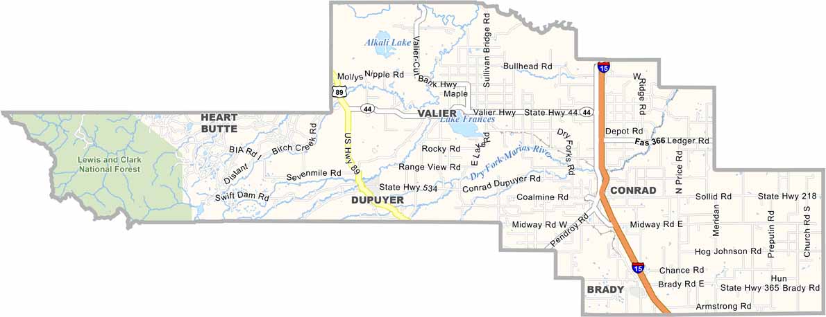
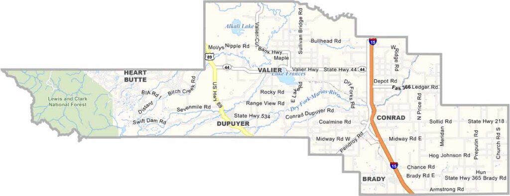
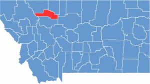
Pondera County is located just south of the Canadian border in north-central Montana. It’s where the Rocky Mountains meet the Great Plains. Conrad serves as the county seat.

The region has wheat fields stretching for miles. The eastern part of the county is flat, while heading west takes you into the mountains. Lake Frances is a great spot for fishing and boating.

Locals are proud of their Hutterite colonies, which produce some of the best farm-fresh goods you’ll ever taste. Lewis and Clark National Forest covers the western part of the county, while Interstate 15 cuts through the east.

CategoryDetails
County NamePondera County
County SeatConrad
EtymologyNamed after the French word (Pend d’Oreilles) meaning “ear pendant”
Cities, Towns, and CommunitiesConrad, Valier, Brady, Dupuyer
Interstates and HighwaysI-15, US 89
FIPS Code30-073
Total Area (Land and Water)1,640 square miles (Land: 1,625 sq mi, Water: 15 sq mi)
Adjacent Counties (and Direction)Glacier County (North), Toole County (North), Liberty County (East), Chouteau County (East), Teton County (South), Flathead County (West)
Time ZoneMountain Time Zone (MT)
StateMontana
Coordinates48.1894° N, 112.0806° W
Major LandmarksLake Frances, Freezeout Lake Wildlife Management Area, Rocky Mountain Front
PopulationApproximately 5,800
Scroll to Top