Ringgold County, Iowa

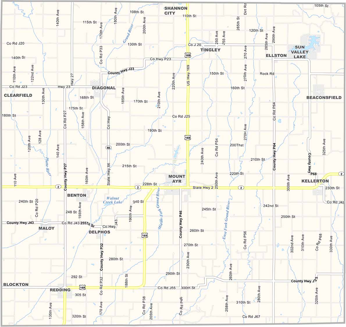
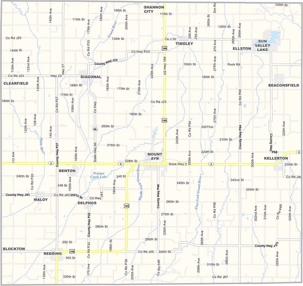
Ringgold County sits in Iowa’s far southern tier along the Missouri border. Mount Ayr, the county seat, was named after the Scottish hometown of poet Robert Burns.

The county honors Major Samuel Ringgold, who was killed during the Mexican-American War. With only about 5,000 residents, it is the second-least-populous county in Iowa.

Mount Ayr is home to several covered bridges and the Depot Museum, which preserves the area’s railroad history. Interestingly, Ringgold County was also a stop on the Underground Railroad before the Civil War.
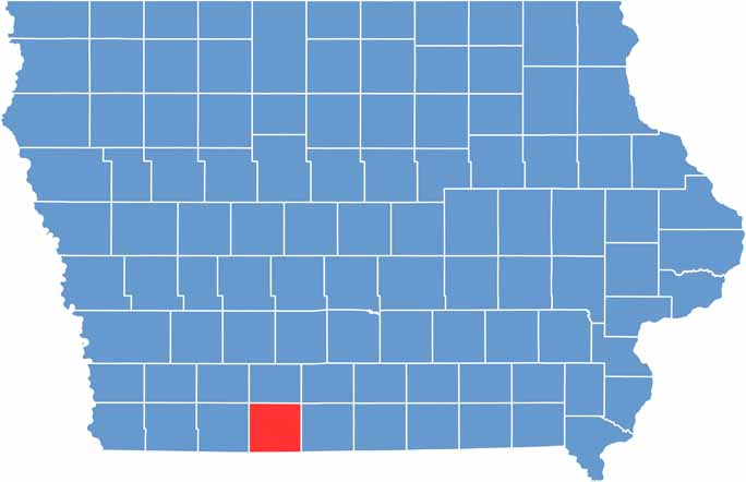

CategoryDetails
County NameRinggold County
County SeatMount Ayr
EtymologyNamed after Samuel Ringgold, major killed in the Mexican–American War
Cities, Towns, and CommunitiesMount Ayr, Kellerton, Diagonal, and several smaller communities
Interstates and HighwaysU.S. Highway 169, Iowa Highway 2
FIPS Code19-159
Total Area (Land and Water)542 square miles (land: 541 sq mi, water: 1 sq mi)
Adjacent Counties (and Direction)Union County (North), Decatur County (East), Harrison County, Missouri (Southeast), Worth County, Missouri (Southwest), Taylor County (West)
Time ZoneCentral Time Zone (CST)
Population5,500
StateIowa
Coordinates40.71°N, 94.23°W
Major LandmarksRinggold County Courthouse, and the Mount Ayr Historic District
Scroll to Top