
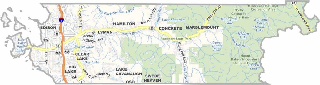
Skagit County sits in northwestern Washington, stretching from the Cascade Mountains to the Salish Sea. The Skagit River runs through the heart of the county, while tulip fields burst into color each spring. It’s a big deal here, with the Skagit Valley Tulip Festival drawing huge crowds.
But there’s more to Skagit County than flowers. The North Cascades offer epic hiking and camping, while Deception Pass Bridge is an engineering marvel with knockout views.
Anacortes serves as the gateway to the San Juan Islands, and fresh seafood is easy to find. Bald eagles nest here during the winter, adding to the area’s wildlife appeal. The county is also an agricultural powerhouse and the kind of place that makes you want to slow down and soak it all in.
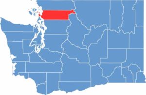
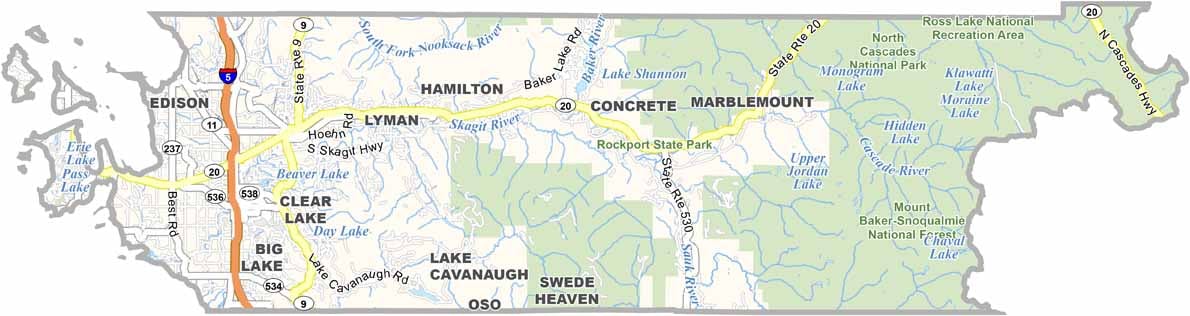
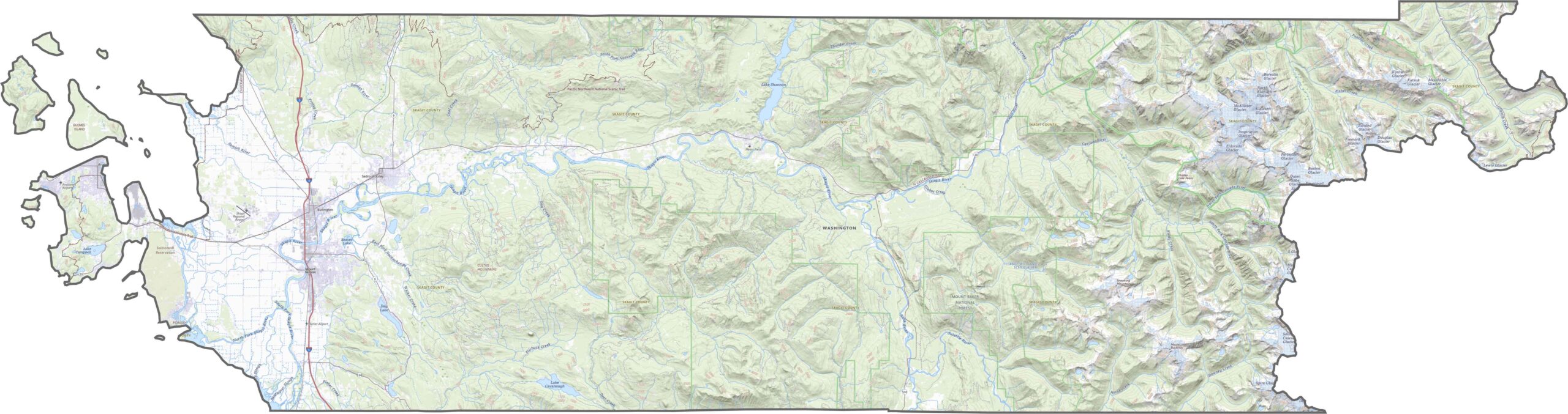
Skagit County is where farmland meets forest. The Skagit River runs through the center, spreading across a wide floodplain that is rich and flat. But the eastern side rises sharply into the North Cascades, where rugged peaks and glacier-fed lakes take over.
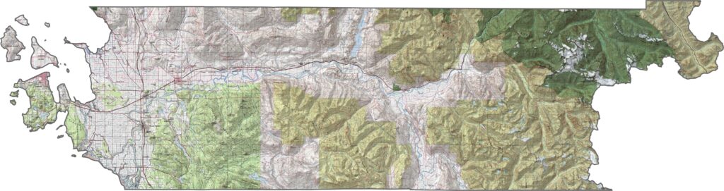
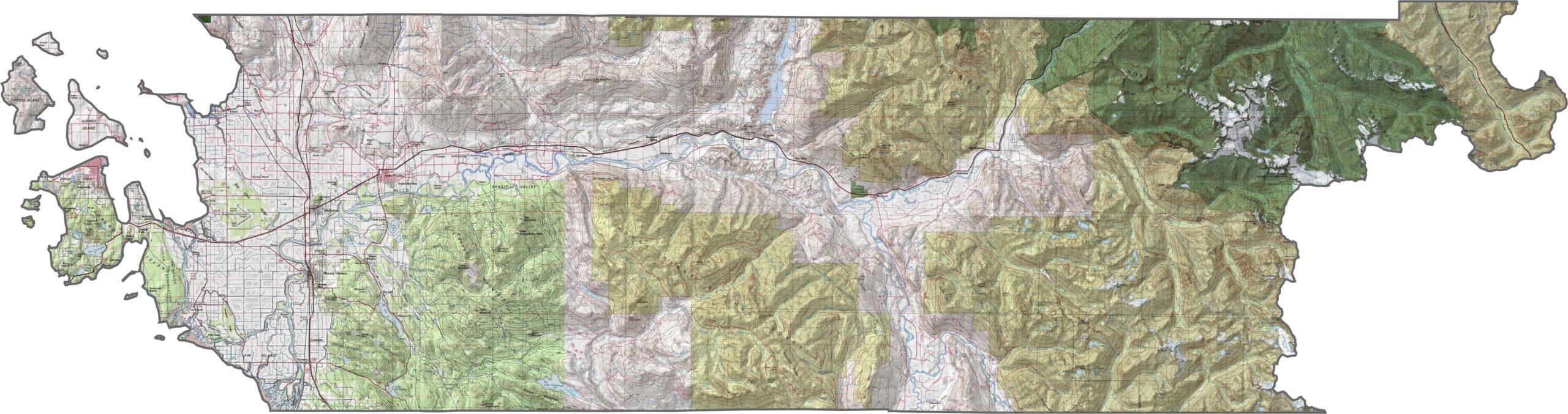
U.S. Route 20 serves as the backbone of the county, stretching all the way to the mountains. Interstate 5 passes through the western towns but misses the scenic interior. Backroads take over quickly, winding through farmland and foothills. Zoom in on our map to see how the routes connect across the county.
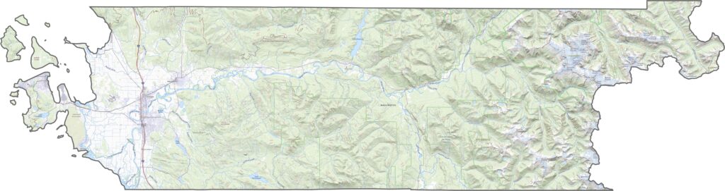
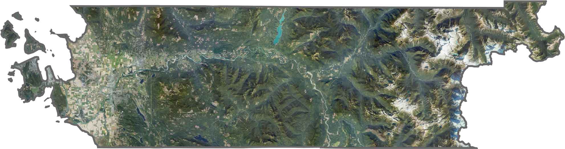
Skagit County is a big mix of landscapes. Checkered farmland surrounds Mount Vernon, while forested ridges rise to the north and mountains dominate the east. The Skagit River is a major landmark, curving across the county. Even the islands in the northwest stand out with their green, bright landscapes.
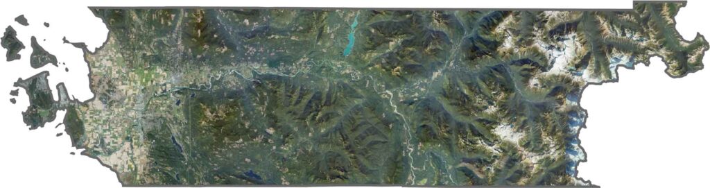
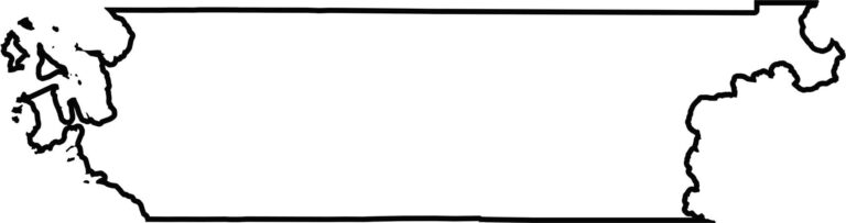
Skagit County stretches from saltwater to serious elevation. Its shape is definitely longer from east to west, with the western edge meeting Puget Sound and the eastern side disappearing into the Cascades. The coastline and mountain edges give the county several jagged corners.







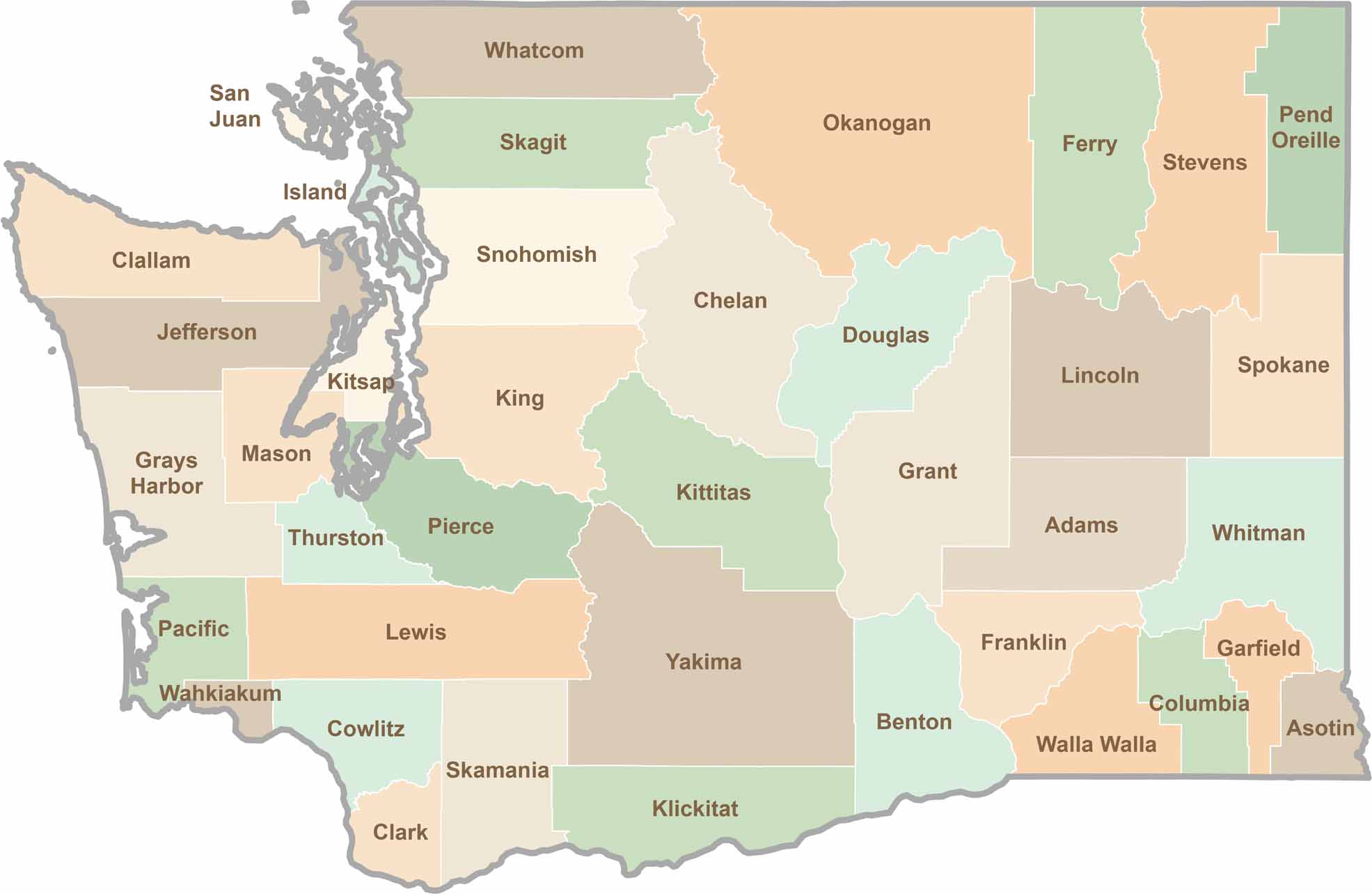
Seattle may get most of the attention, but the rest of Washington State is where the wild truly shines. From rugged Pacific coastlines and lush forests to towering mountain ranges, Washington’s 39 counties offer an incredible variety of landscapes, communities, and outdoor adventures. Explore them all and find your favorite place in Washington.