
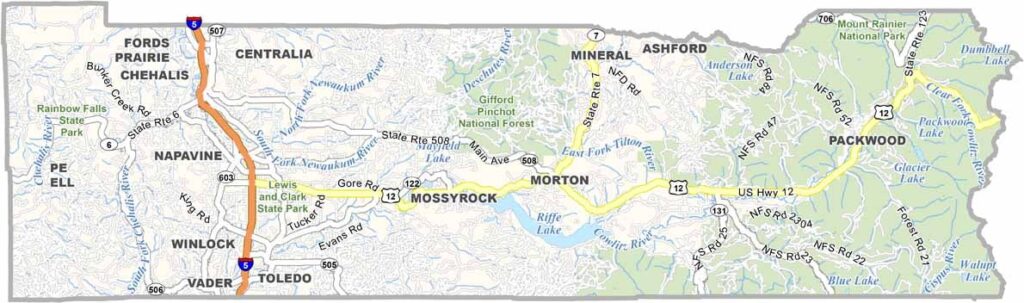
Lewis County sits right in the middle of western Washington. The county was once an important logging center, and you can still spot giant stumps in some areas. But there’s plenty of new growth too, both in the forests and in the towns.
Centralia and Chehalis are the biggest cities, offering a small-town feel with some big-city amenities. Farms are common across the county, so you might find yourself stuck behind a tractor on the road. Most folks don’t mind the slowdown, though.
Mount Rainier looms to the northeast and makes quite a sight on clear days. The county is named after Meriwether Lewis of Lewis and Clark fame. Adventure is still a big draw, with hiking, fishing, and hunting all popular activities.
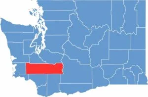
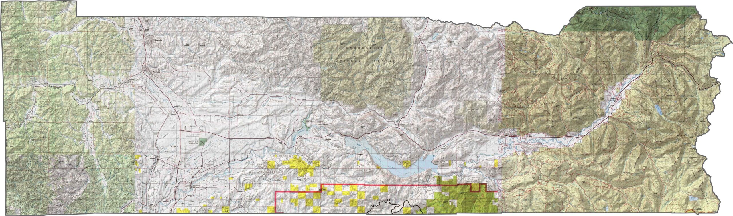
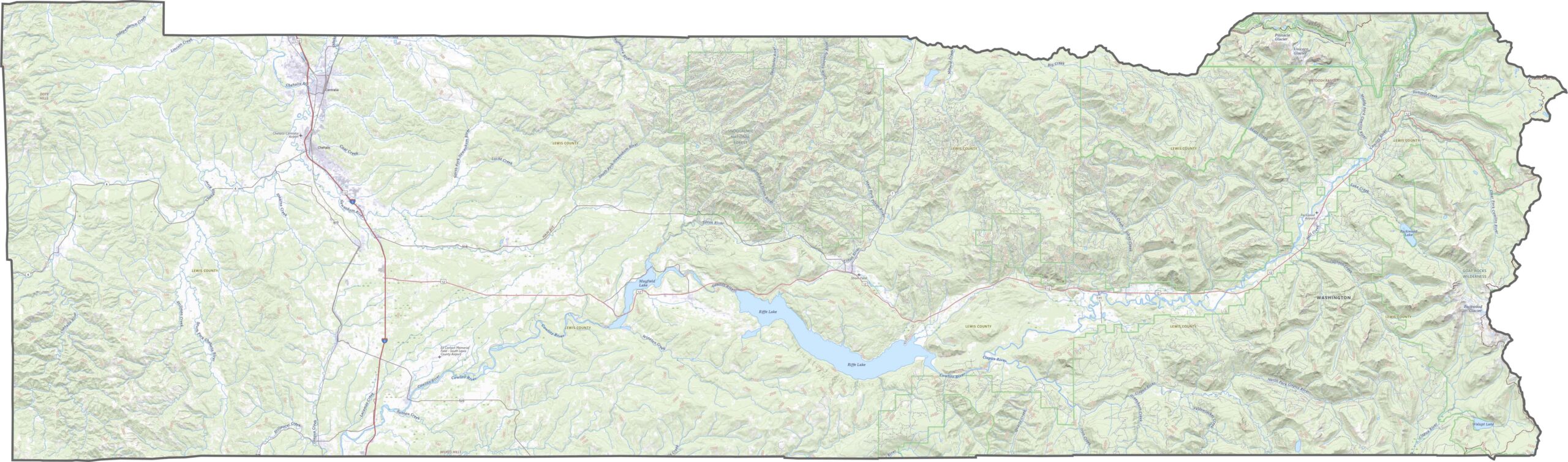
Lewis County shifts dramatically in topography from west to east. The lowlands near the Chehalis River give way to high country in the Cascades. Mount Rainier looms just outside the northeast, while Mount St. Helens rises near the southeastern corner.
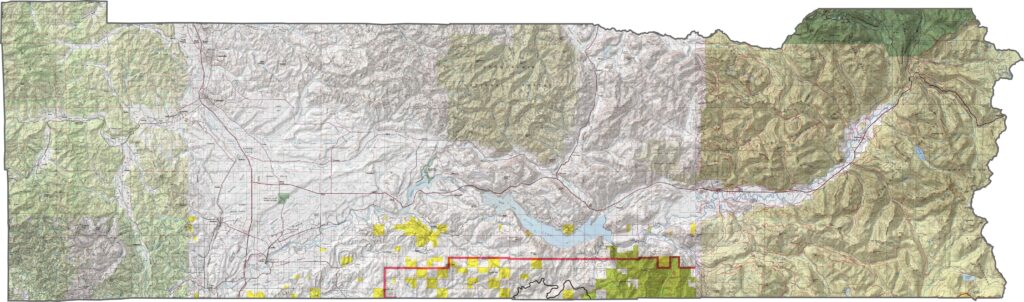
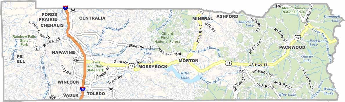
Interstate 5 runs right through Lewis County, making north-south travel easy. While I-5 is the key highway here, U.S. Route 12 helps travelers reach deeper into the mountains. Our zoom tool lets you follow each route as it climbs into the higher elevations.
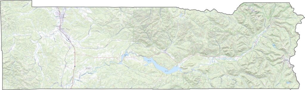
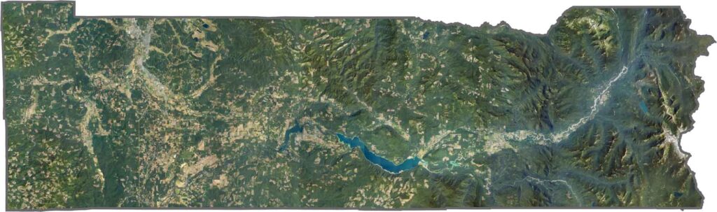
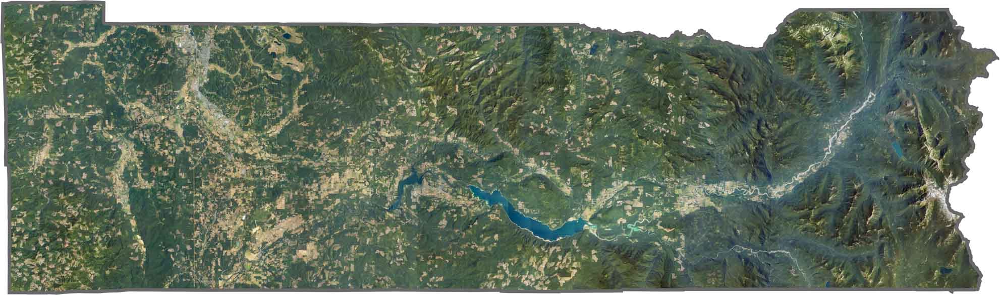
There’s a big shift in terrain and land use on our satellite map. You’ll see farmland and towns across the west, while forests and volcanic terrain dominate the east. Centralia and Chehalis stand out as clear urban centers, but east of them, trees take over quickly.
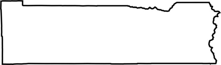
Lewis County is long and rectangular, with its eastern edge tucked into the Cascades. It doesn’t border another state, but it sits fairly close to Oregon and the Mount St. Helens National Volcanic Monument. Much of the county’s shape is defined by mountains and survey boundaries.







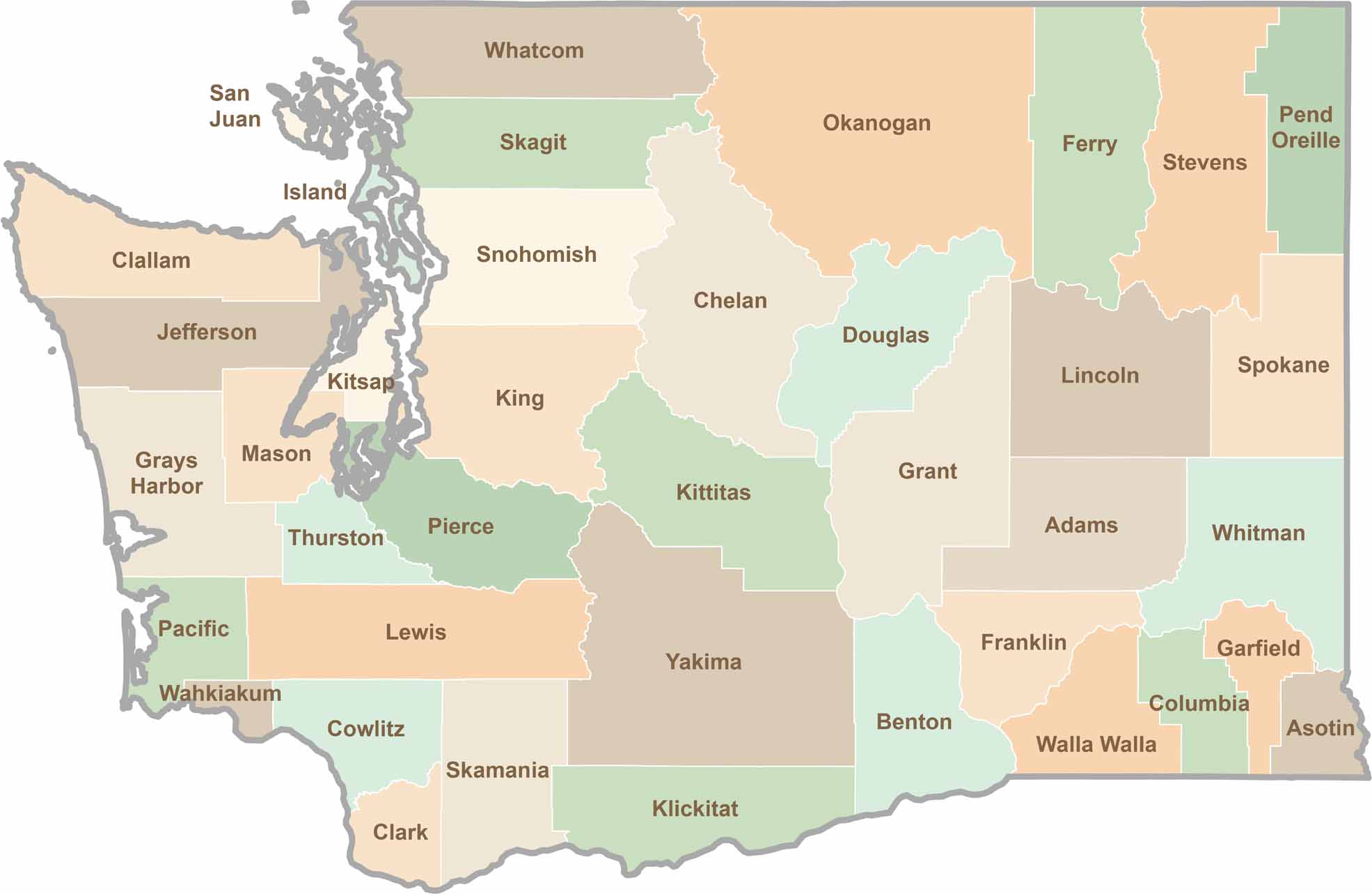
Seattle may get most of the attention, but the rest of Washington State is where the wild truly shines. From rugged Pacific coastlines and lush forests to towering mountain ranges, Washington’s 39 counties offer an incredible variety of landscapes, communities, and outdoor adventures. Explore them all and find your favorite place in Washington.