
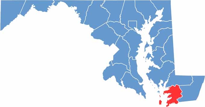
Somerset County lies on Maryland’s Eastern Shore and is the state’s southernmost county, with extensive waterfront along the Chesapeake Bay. Its coastal setting shapes much of the county’s landscape, communities, and local way of life.
The county is home to Crisfield, often known as the “Crab Capital of the World.” Seafood remains an important part of the local culture, with fresh crabs and oysters among the area’s most popular specialties.
Somerset County has a rich colonial history, with landmarks such as the Teackle Mansion offering a glimpse into its past. The county’s marshlands and wildlife refuges also provide excellent opportunities for birdwatching and wildlife observation. Visitors can take a ferry to Smith Island, where quiet communities and traditional Chesapeake culture create a relaxed atmosphere.
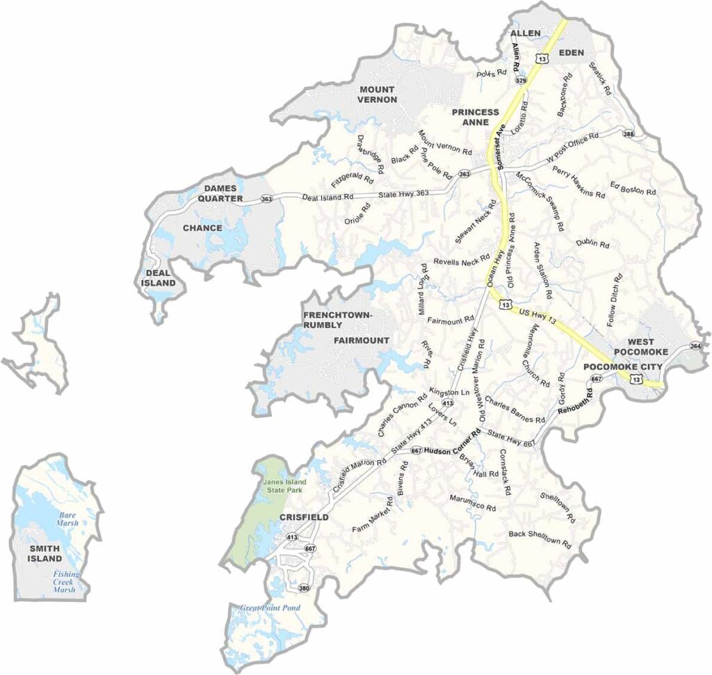
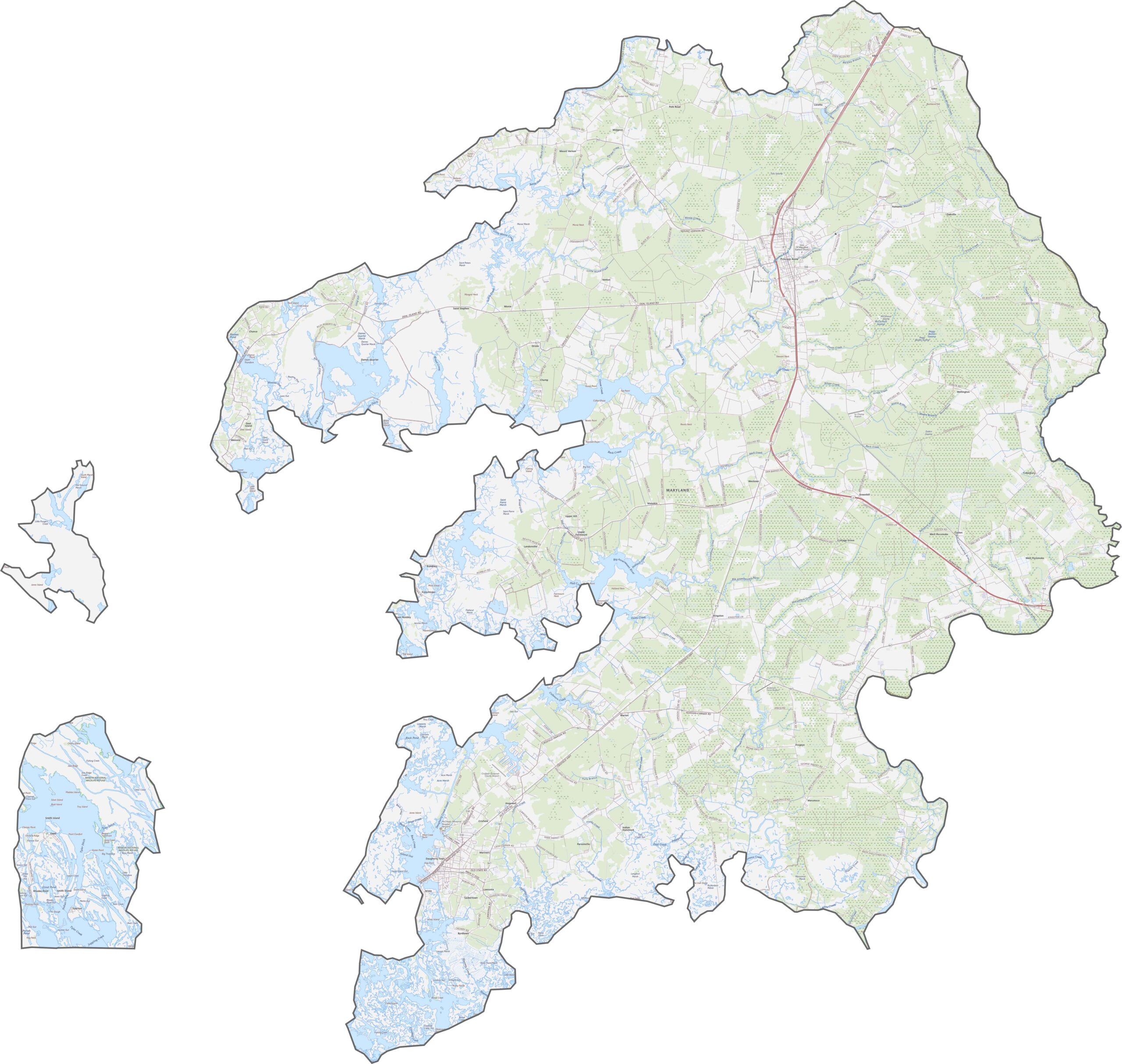
This Somerset County map highlights the main highways and roads that cross the area. U.S. Route 13 runs north-south as the county’s primary transportation corridor. Although Somerset County has no interstate highways, scenic roads follow the winding edges of the Chesapeake Bay and connect its rural communities.
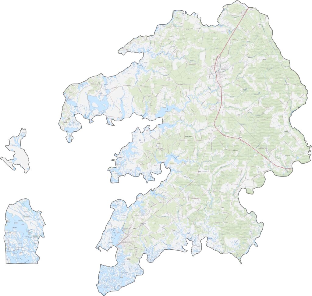
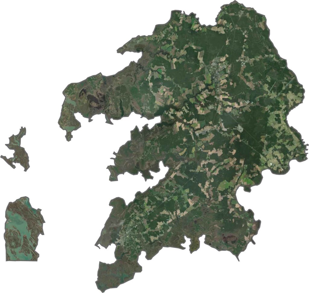
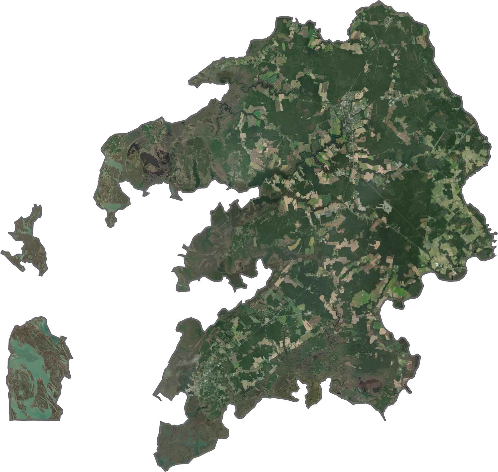
Vast stretches of farmland cover much of the county, interspersed with areas of swamp, forest, and wetlands. Water is a defining feature of the landscape, with numerous creeks and waterways extending deep into the surrounding land and creating a network of narrow inlets.
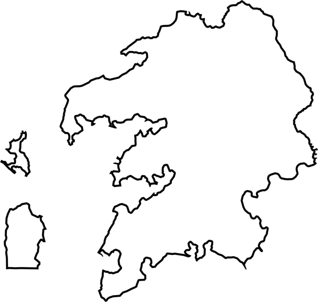
Somerset County is surrounded by water on three sides, giving it a distinctive coastal shape. The Chesapeake Bay lies to the west, Tangier Sound borders the south, and the Pocomoke River forms much of the eastern boundary.








With 23 counties and Baltimore City, Maryland offers a diverse mix of cities, small towns, rural communities, and scenic outdoor landscapes. From the Chesapeake Bay and coastal areas to historic towns and mountain regions, every part of the state has its own character. Explore our detailed Maryland county maps to learn more about the state’s counties, cities, roads, boundaries, and geographic features.