
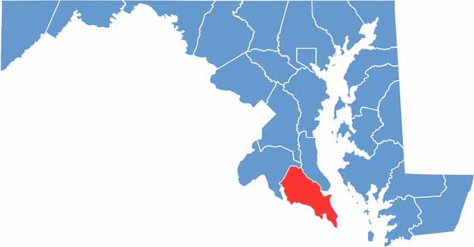
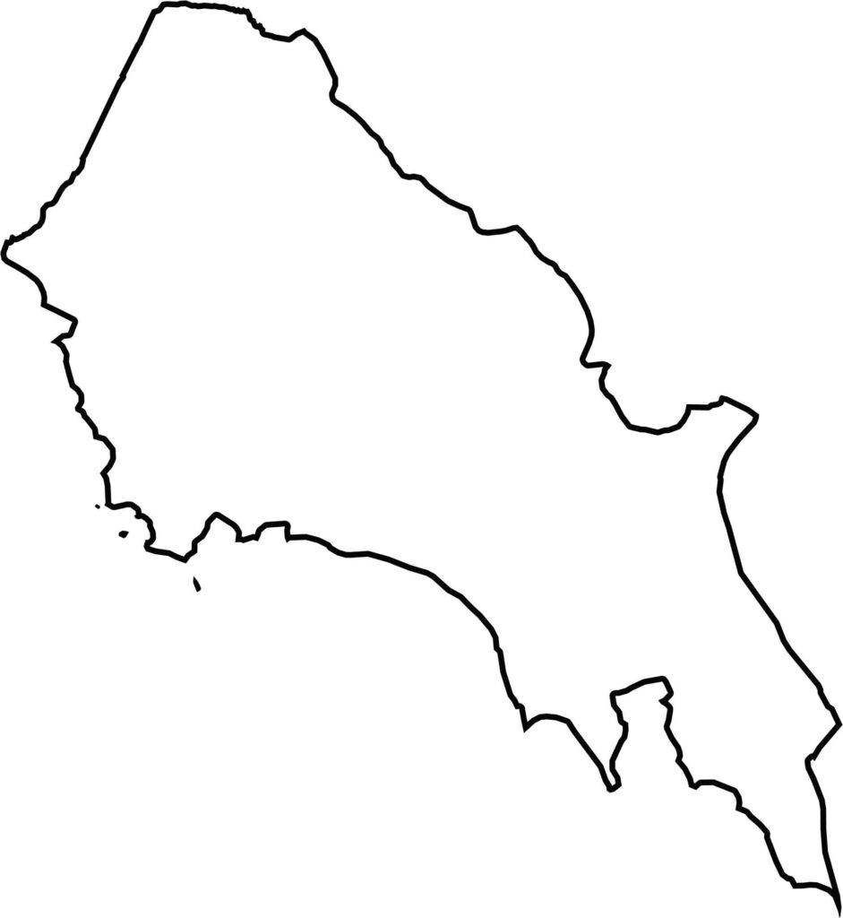
At the southern tip of Maryland, St. Mary’s County is where the Potomac River meets the Chesapeake Bay. Known as the birthplace of Maryland, the county is home to St. Mary’s City, the site of the state’s first colonial settlement.
Visitors can explore the region’s history at Historic St. Mary’s City, a living-history museum that brings Maryland’s colonial past to life. The county is also home to Patuxent River Naval Air Station, an important part of the local community.
With miles of shoreline, fishing, boating, and crabbing are popular activities throughout St. Mary’s County. The area also offers a slower pace of life, with farms, vineyards, and local markets adding to the county’s rural character.
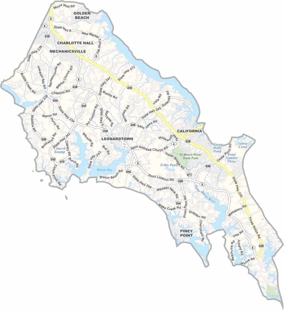
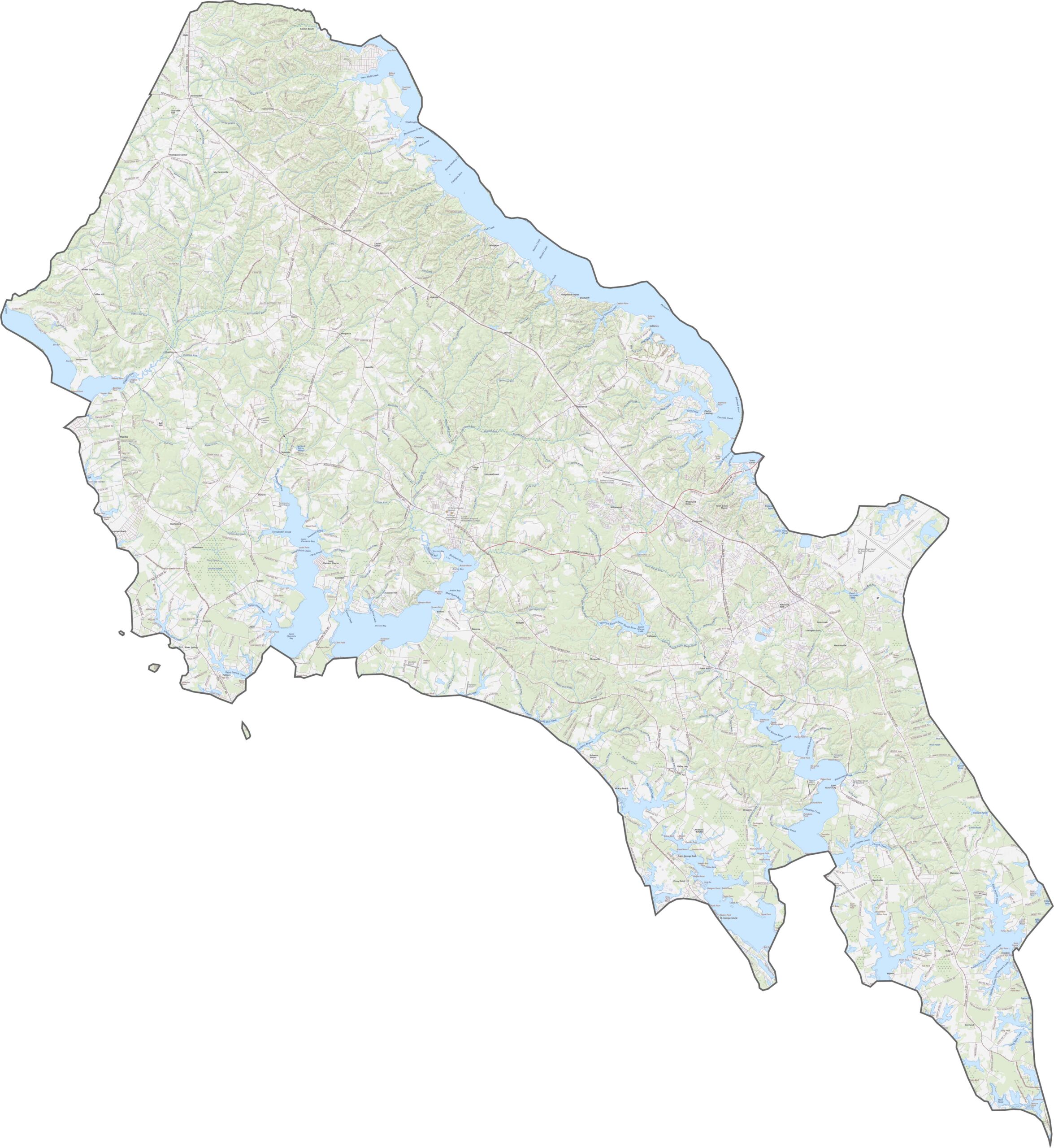
Explore roads, waterways, and landmarks in greater detail with our road map and zoom tool below. Route 235 and Route 5 serve as the main north-south arteries across the peninsula, connecting communities throughout St. Mary’s County.
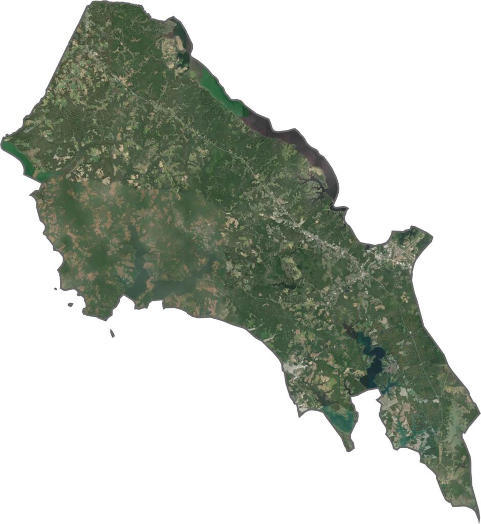
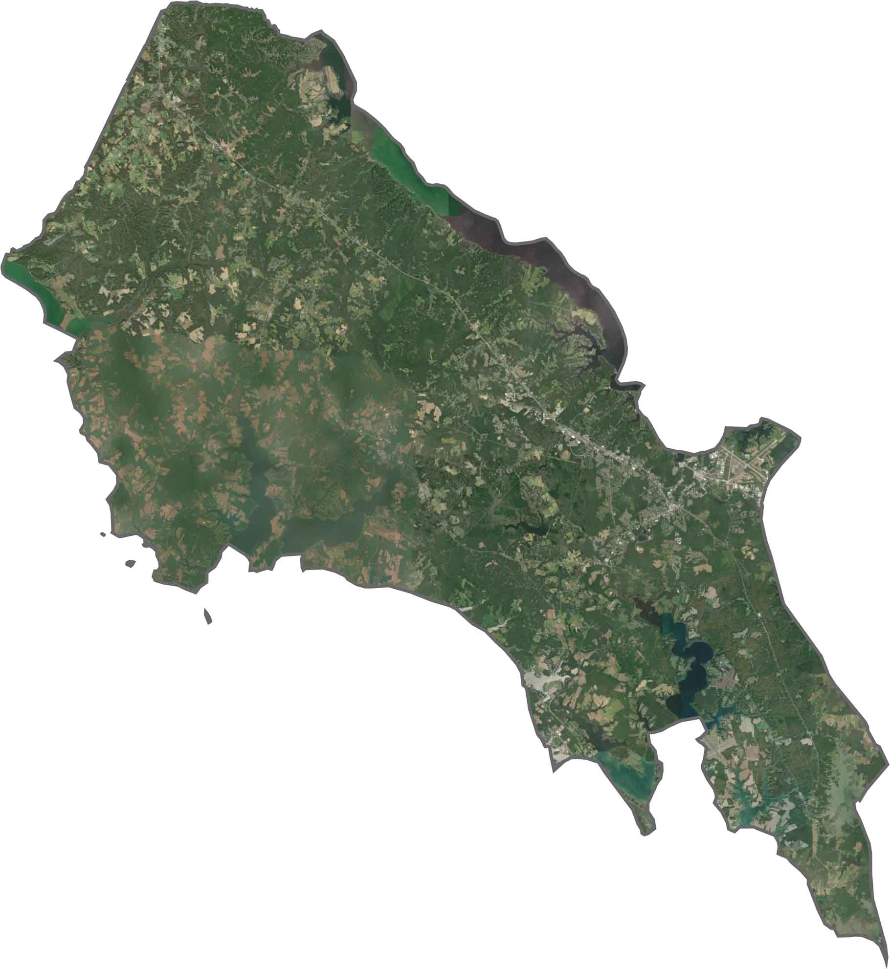
Our St. Mary’s County satellite map shows a landscape shaped by peninsulas, inlets, and waterways. Dense forests alternate with agricultural fields and developed waterfront areas, creating a varied coastal landscape across the county.
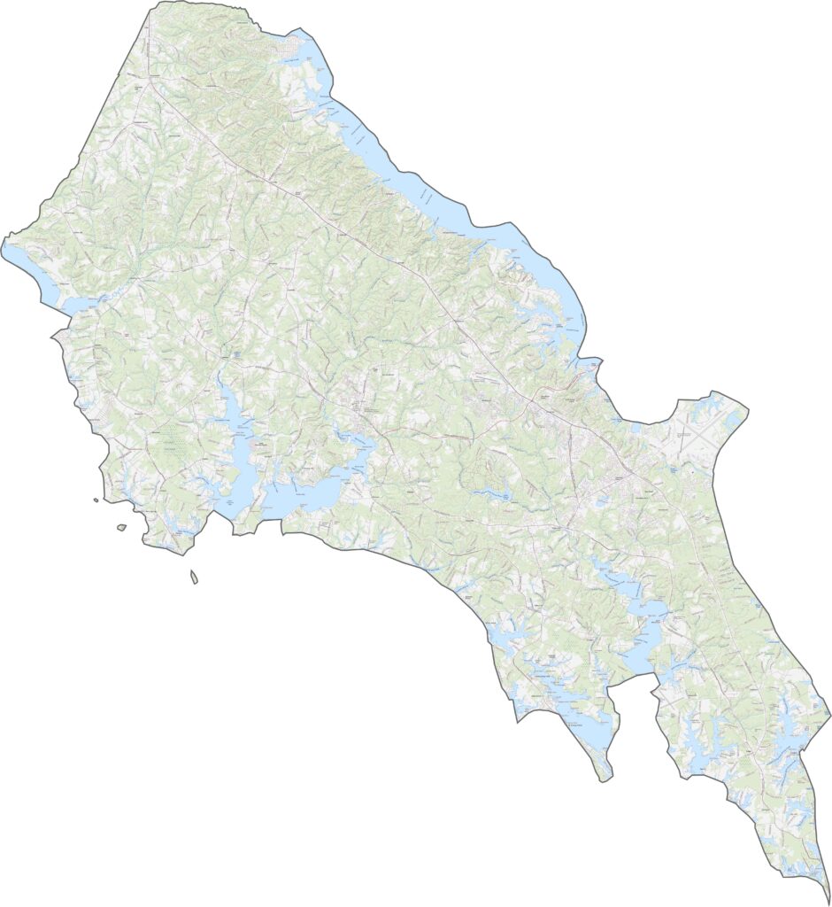
St. Mary’s County is surrounded by water on three sides, with only a narrow land connection to Charles County along its northern boundary.








With 23 counties and Baltimore City, Maryland offers a diverse mix of cities, small towns, rural communities, and scenic outdoor landscapes. From the Chesapeake Bay and coastal areas to historic towns and mountain regions, every part of the state has its own character. Explore our detailed Maryland county maps to learn more about the state’s counties, cities, roads, boundaries, and geographic features.