
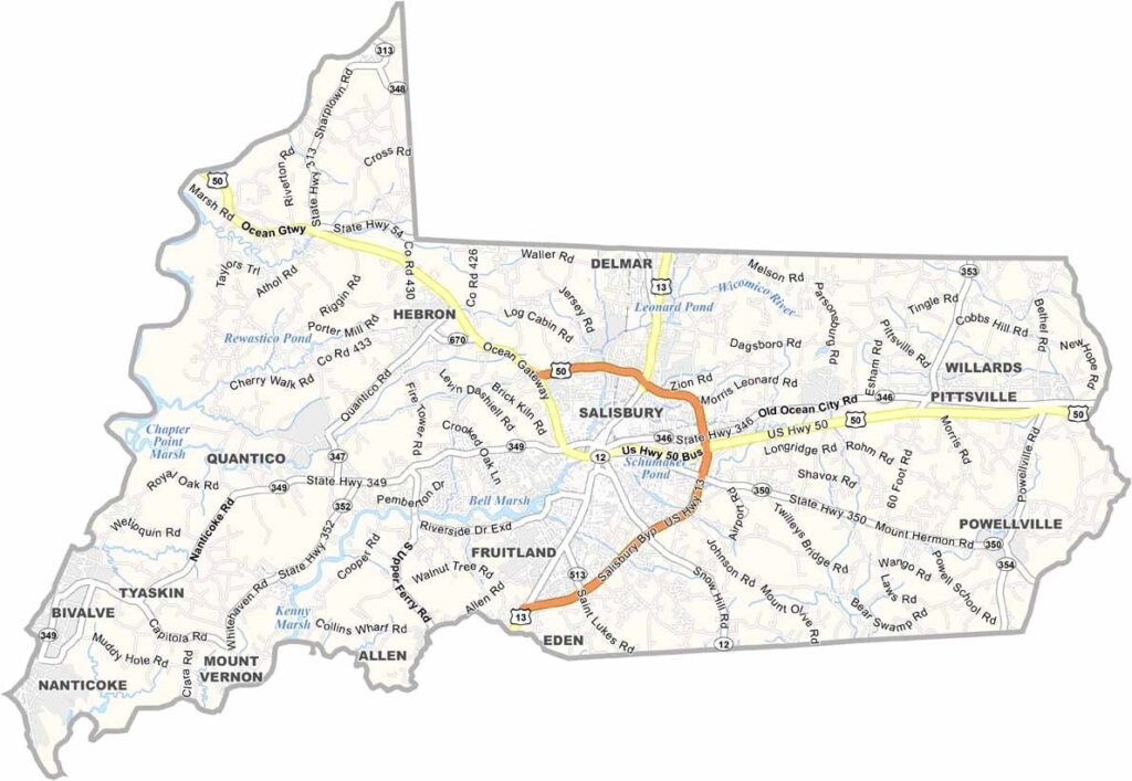
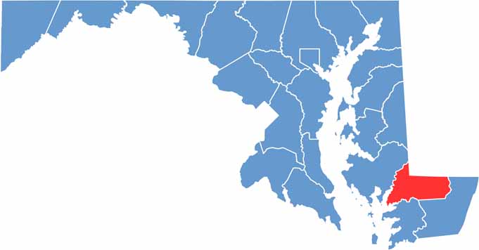
Wicomico County is located on Maryland’s Eastern Shore, where the Wicomico River winds through a landscape of small towns, farmland, and rural communities. The river is an important geographic feature, adding scenic character to the county’s largely agricultural surroundings.
Salisbury, the county seat, serves as the area’s cultural and community hub, with a history that reflects the heritage of Maryland’s Eastern Shore. Agriculture remains an important part of local life, with extensive cornfields and poultry farms spread across the surrounding countryside.
The Ward Museum of Wildfowl Art in Salisbury was once a notable destination combining wildlife, art, and regional heritage. Although the museum has permanently closed, its legacy remains part of the area’s cultural history and its connection to the traditional art of wildfowl carving.
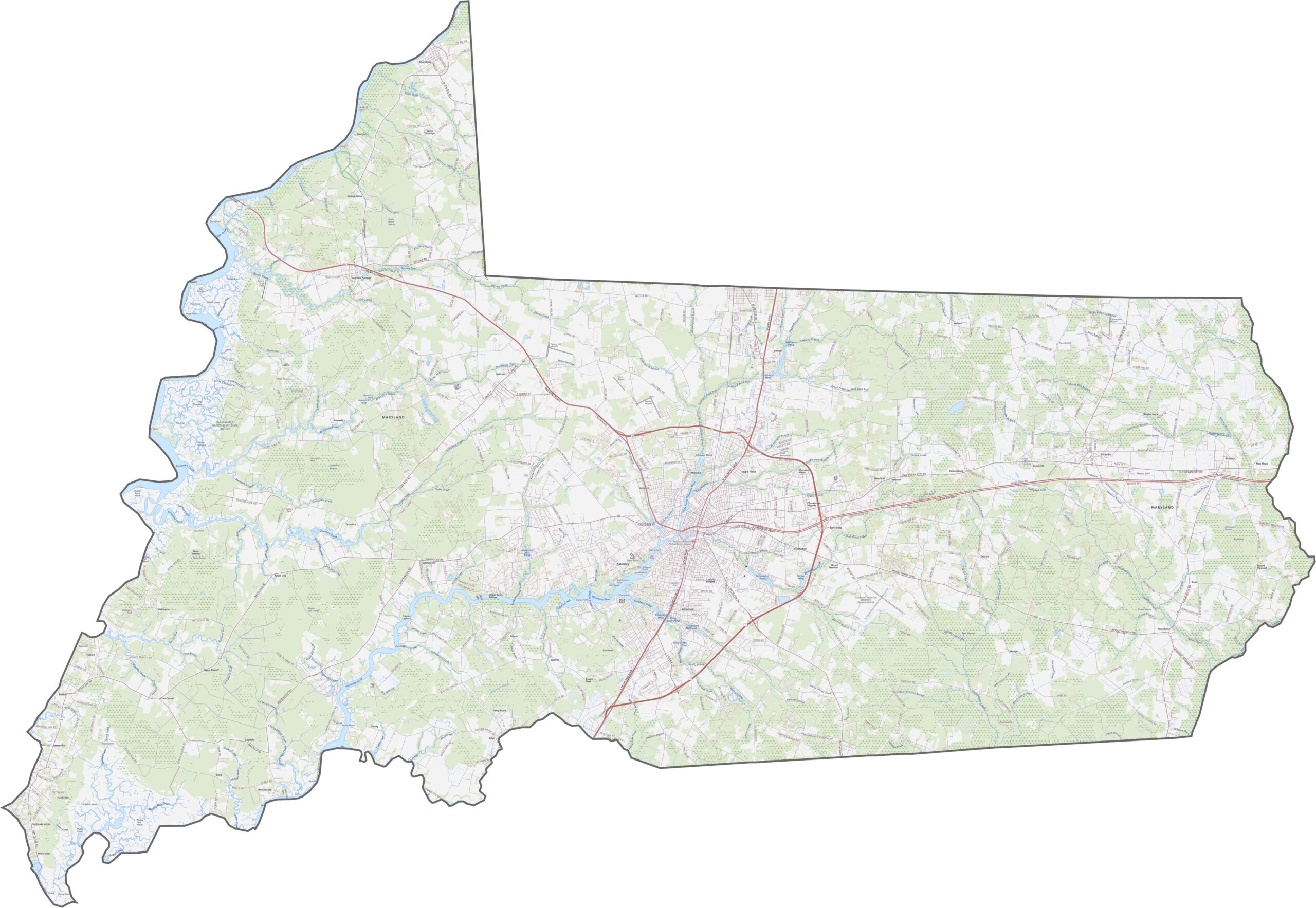
Our Wicomico County map shows the main highways and roads serving the area. U.S. Route 50 runs east-west as a major transportation corridor, connecting Salisbury with communities across the Eastern Shore. U.S. Route 13 provides an important north-south route and intersects with major state roads such as MD-12, giving the county strong highway access despite its rural character.
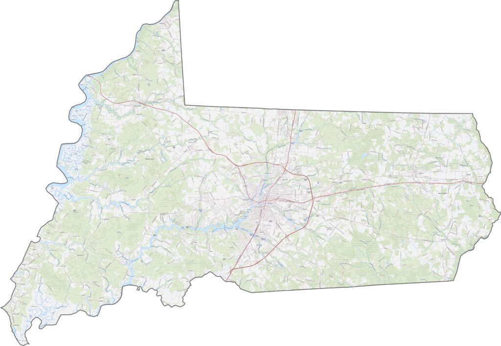
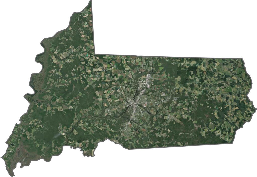
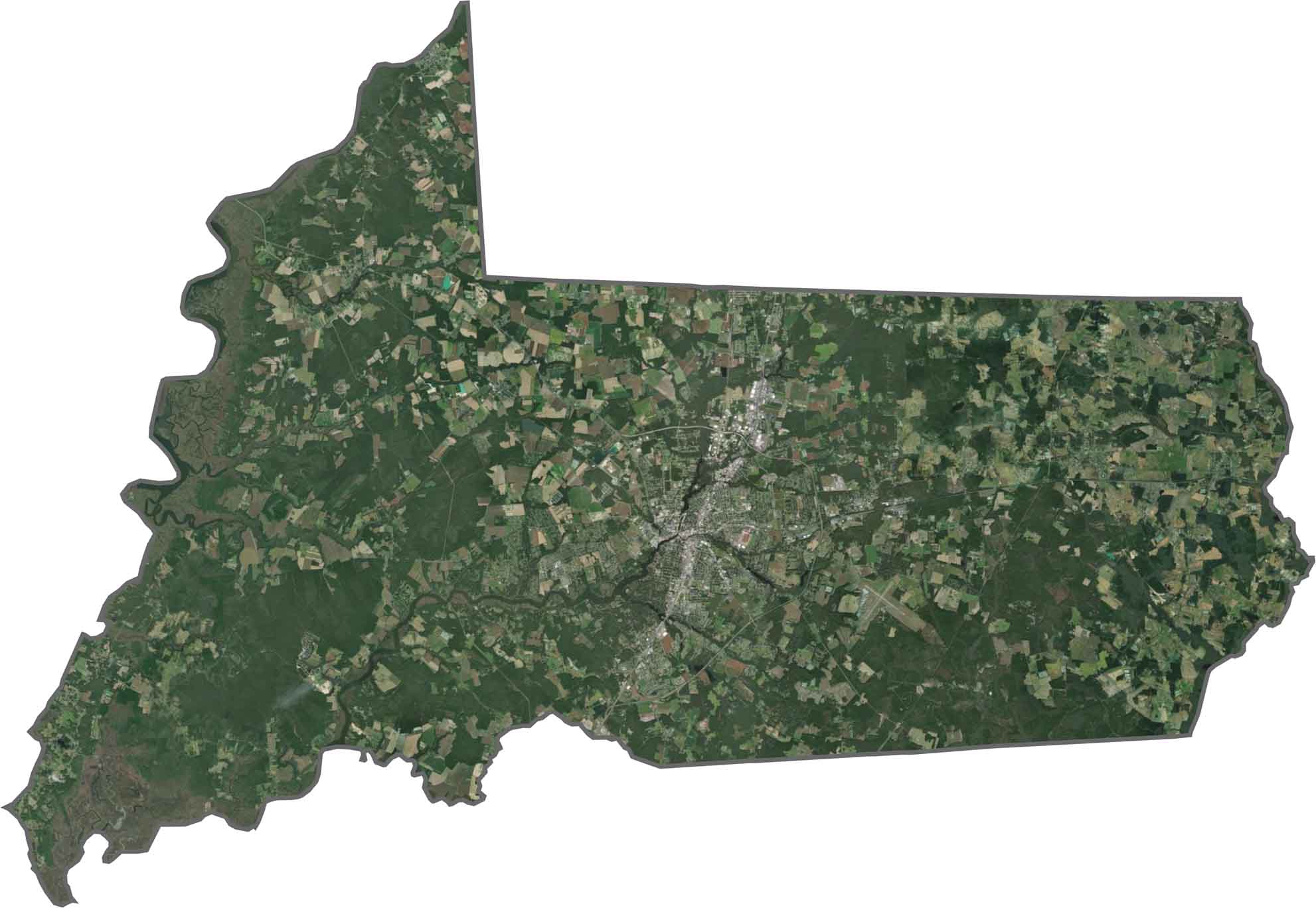
Salisbury stands out as an urban center surrounded by broad areas of farmland and rural development. The Wicomico River and Nanticoke River wind through the landscape, appearing prominently across the surrounding agricultural fields.
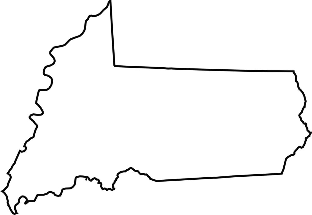
Wicomico County shares land borders with Somerset County, Worcester County, and Dorchester County. The Nanticoke River forms part of the county’s western boundary, while Delaware borders the county to the north.







With 23 counties and Baltimore City, Maryland offers a diverse mix of cities, small towns, rural communities, and scenic outdoor landscapes. From the Chesapeake Bay and coastal areas to historic towns and mountain regions, every part of the state has its own character. Explore our detailed Maryland county maps to learn more about the state’s counties, cities, roads, boundaries, and geographic features.