
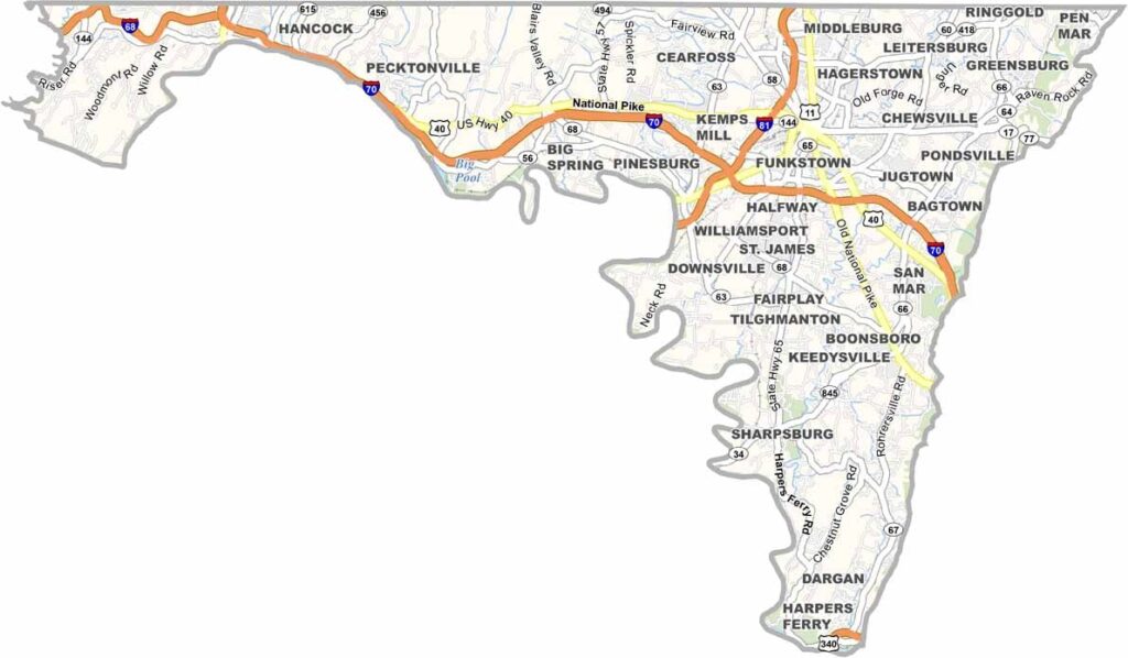
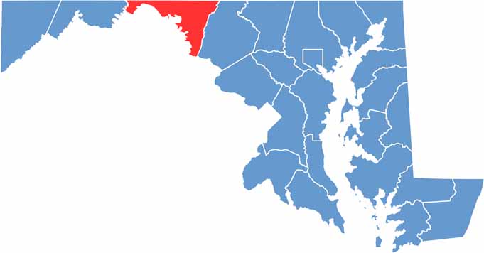
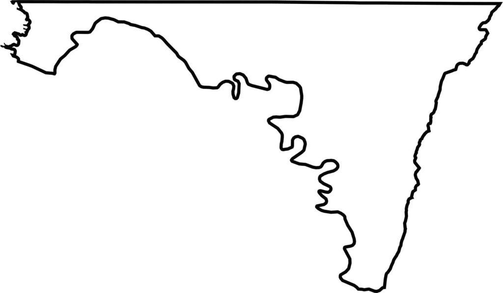
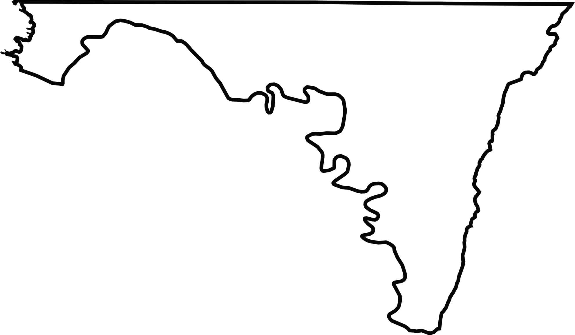
Washington County is located in northern Maryland, bordering both Pennsylvania and West Virginia. Its position along the state’s northern edge gives the county a distinctive landscape shaped by mountains, valleys, and historic communities.
The county is home to Antietam National Battlefield, an important Civil War site that preserves the history of the Battle of Antietam. The Appalachian Trail also passes through the area, offering scenic views of rolling hills, wooded slopes, and valleys.
Winters in Washington County can be brisk, while fall foliage brings vibrant seasonal scenery to the countryside. Local farms provide fresh produce and reflect the region’s strong agricultural heritage, connecting the county’s rural landscape with its farming traditions.
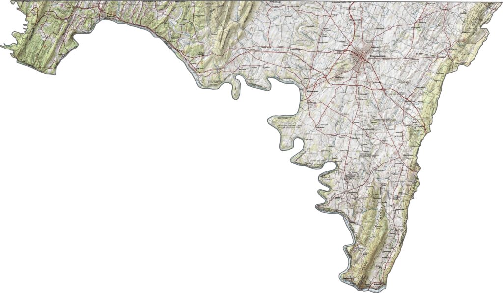
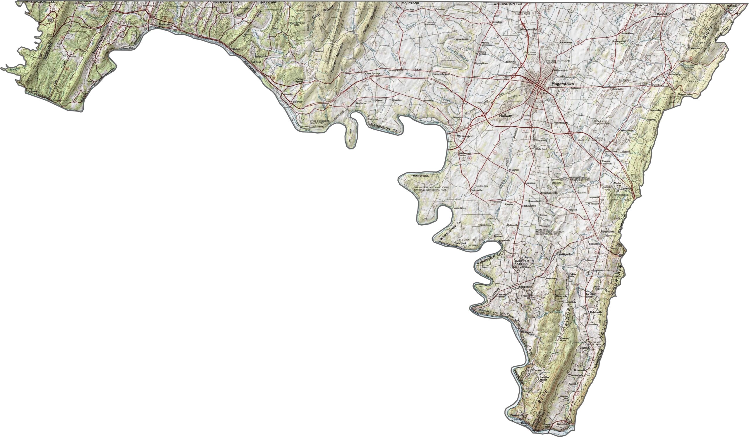
In Washington County, the terrain rises from the Potomac River valley through the central part of the county toward the Appalachian ridges in the west. Explore these changing elevations, valleys, and ridgelines in greater detail with our zoom tool.
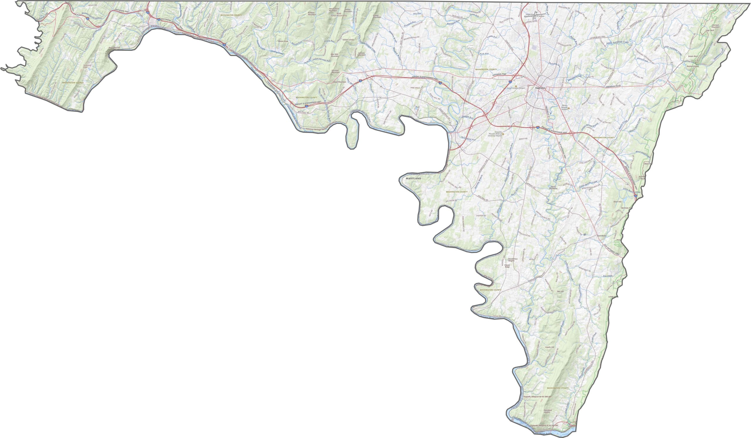
Our Washington County map highlights the major highways and roads serving the area. Interstate 81 runs north-south through the county, while I-70 travels east-west and intersects I-81 near Hagerstown. Use our zoom tool below to explore the county’s road network, major routes, and key connections.
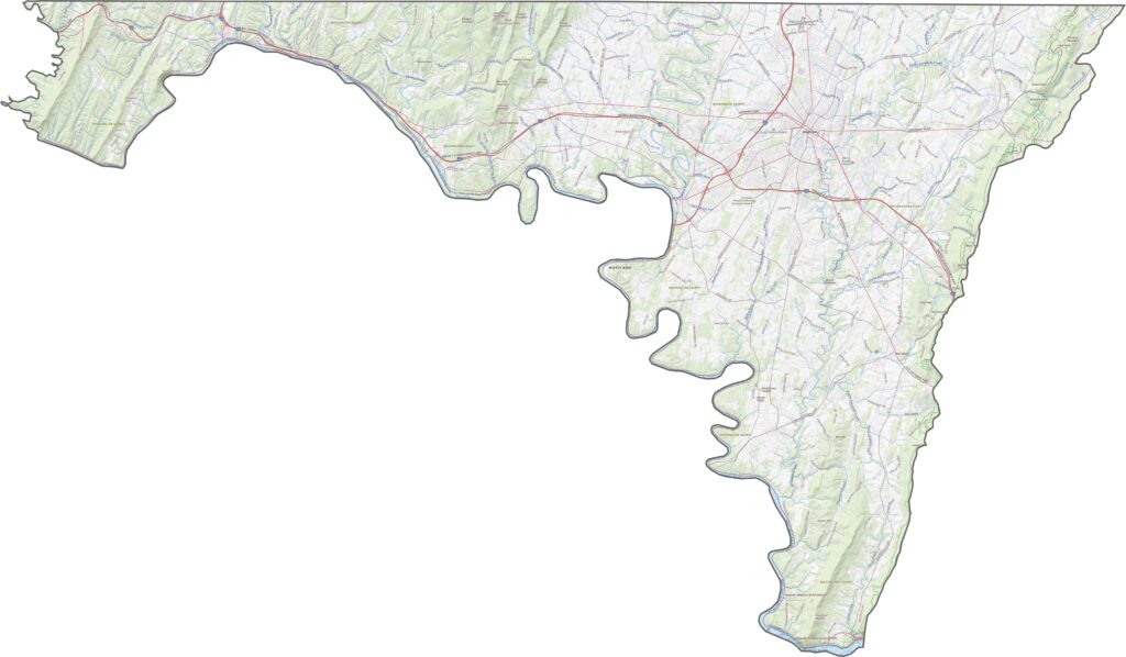
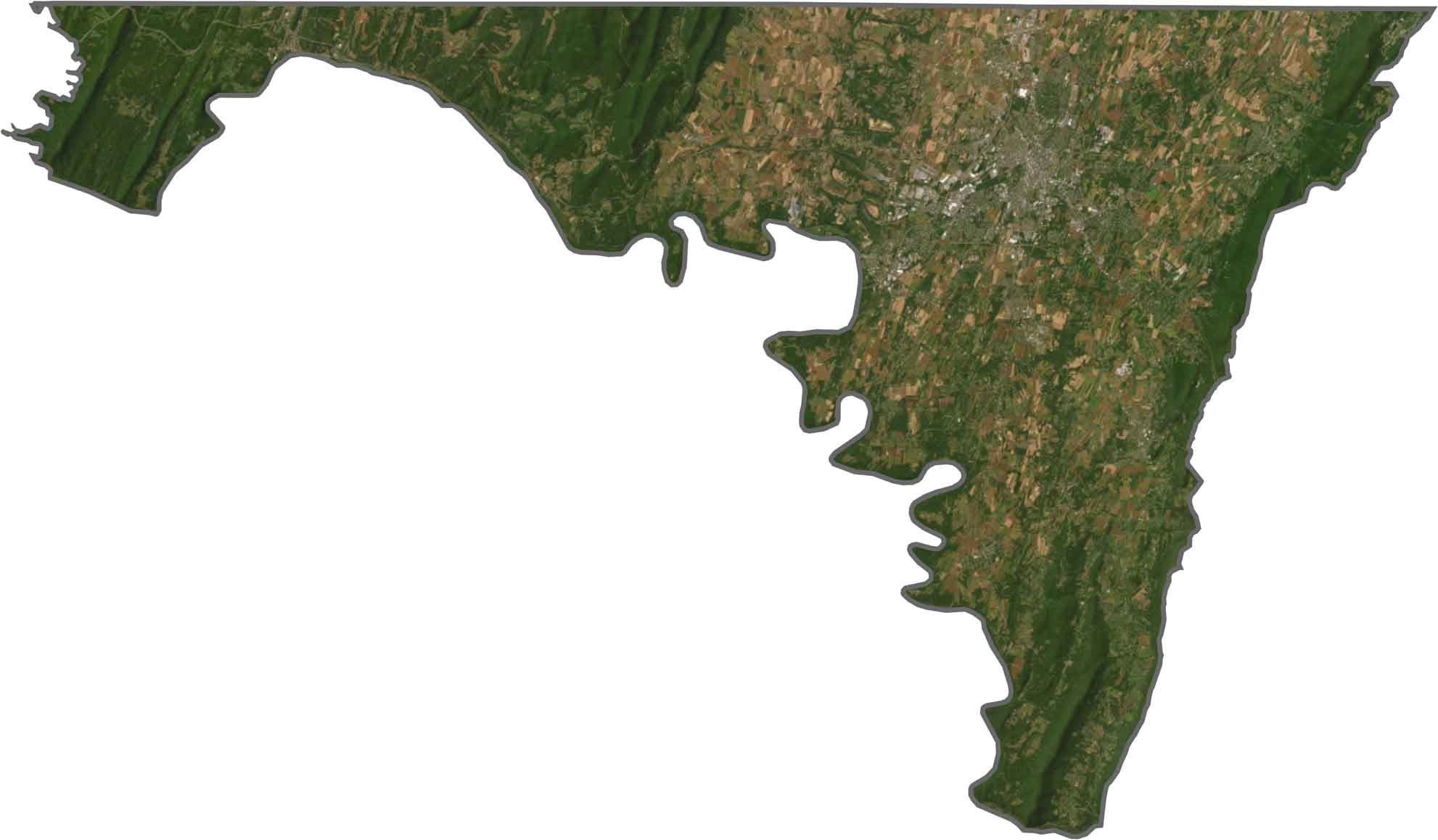
Our Washington County satellite map shows a varied landscape of farmland, forests, and urban development around Hagerstown. The Appalachian ridges are heavily forested, while the central valley contains more cultivated land and agricultural areas.

The Potomac River forms part of the boundary between Maryland and West Virginia to the south and west. Pennsylvania borders the county to the north, while Frederick County lies to the east. The county’s shape becomes narrower where the Potomac River cuts through the surrounding mountains.








With 23 counties and Baltimore City, Maryland offers a diverse mix of cities, small towns, rural communities, and scenic outdoor landscapes. From the Chesapeake Bay and coastal areas to historic towns and mountain regions, every part of the state has its own character. Explore our detailed Maryland county maps to learn more about the state’s counties, cities, roads, boundaries, and geographic features.