
Talbot County is located on Maryland’s Eastern Shore, where charming small towns such as Easton and St. Michaels reflect the county’s coastal character and historic roots.
The Chesapeake Bay and its many tributaries make Talbot County a popular destination for boating and fishing. The Chesapeake Bay Maritime Museum in St. Michaels showcases historic boats, lighthouses, and other maritime exhibits that highlight the area’s long connection to the water.
Talbot County also hosts annual events such as the Waterfowl Festival, celebrating the region’s wildlife, art, and outdoor traditions. With its scenic waterways, historic communities, and relaxed atmosphere, Talbot County offers plenty of opportunities to unwind, explore, and enjoy the slower pace of Eastern Shore life.
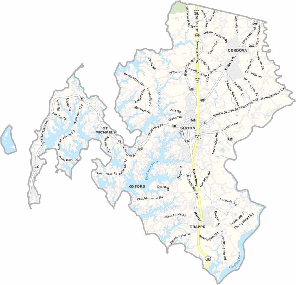
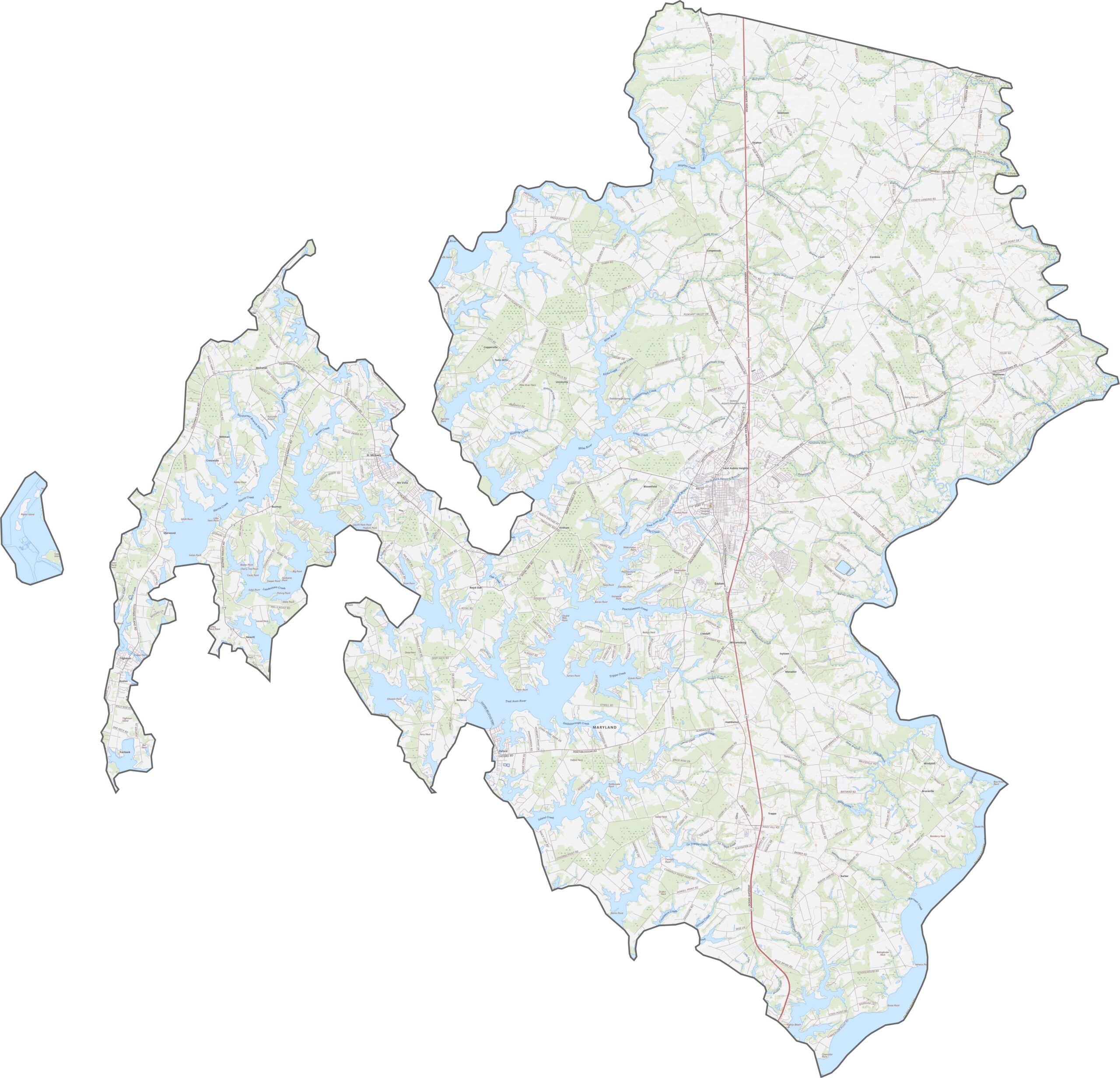
Our Talbot County map shows the main highways and roads that run through this historic county, known for its charming towns and waterfront scenery. U.S. Route 50 crosses the county, providing an important connection to Annapolis and the Chesapeake Bay Bridge.
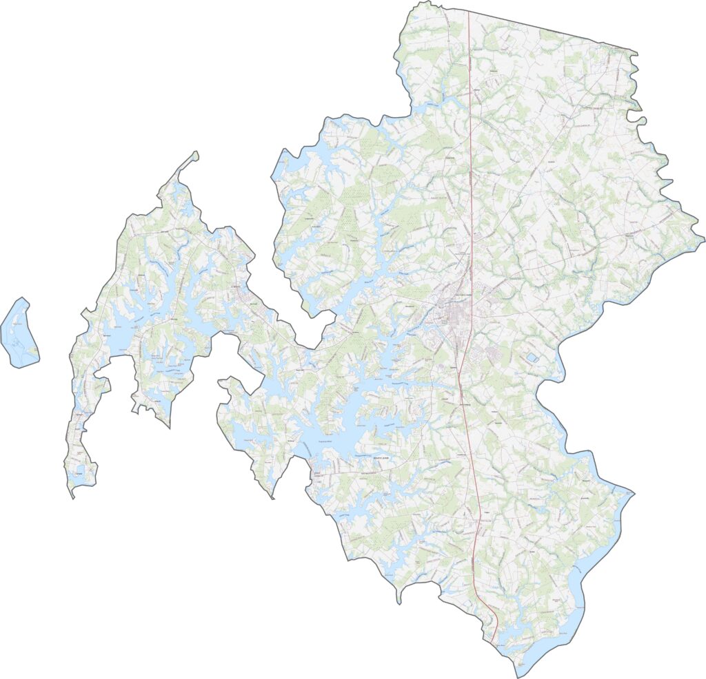
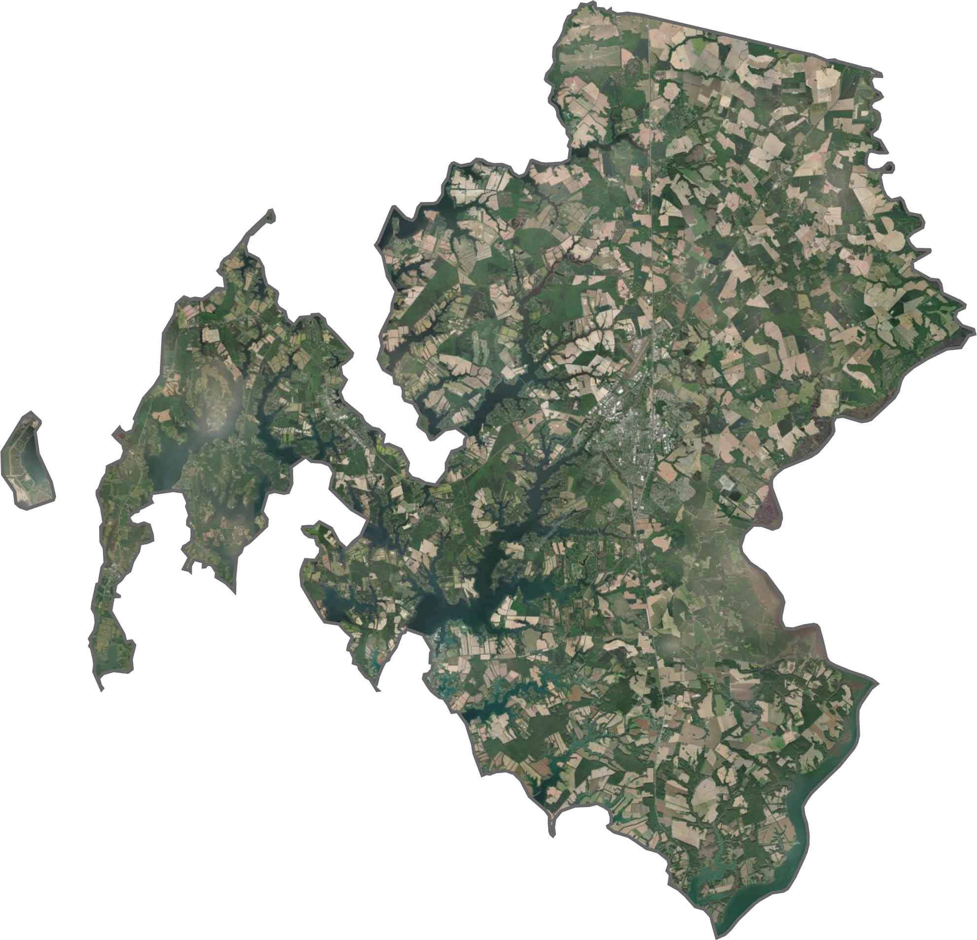
Water covers a significant portion of Talbot County, with rivers, creeks, and bays breaking the land into narrow peninsulas. Easton stands out as a developed community center, while much of the surrounding landscape remains covered by woodland and farmland.
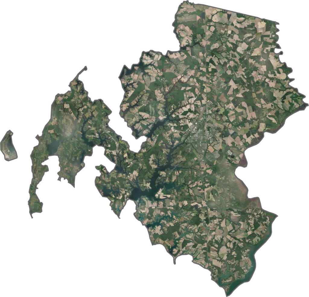
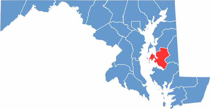
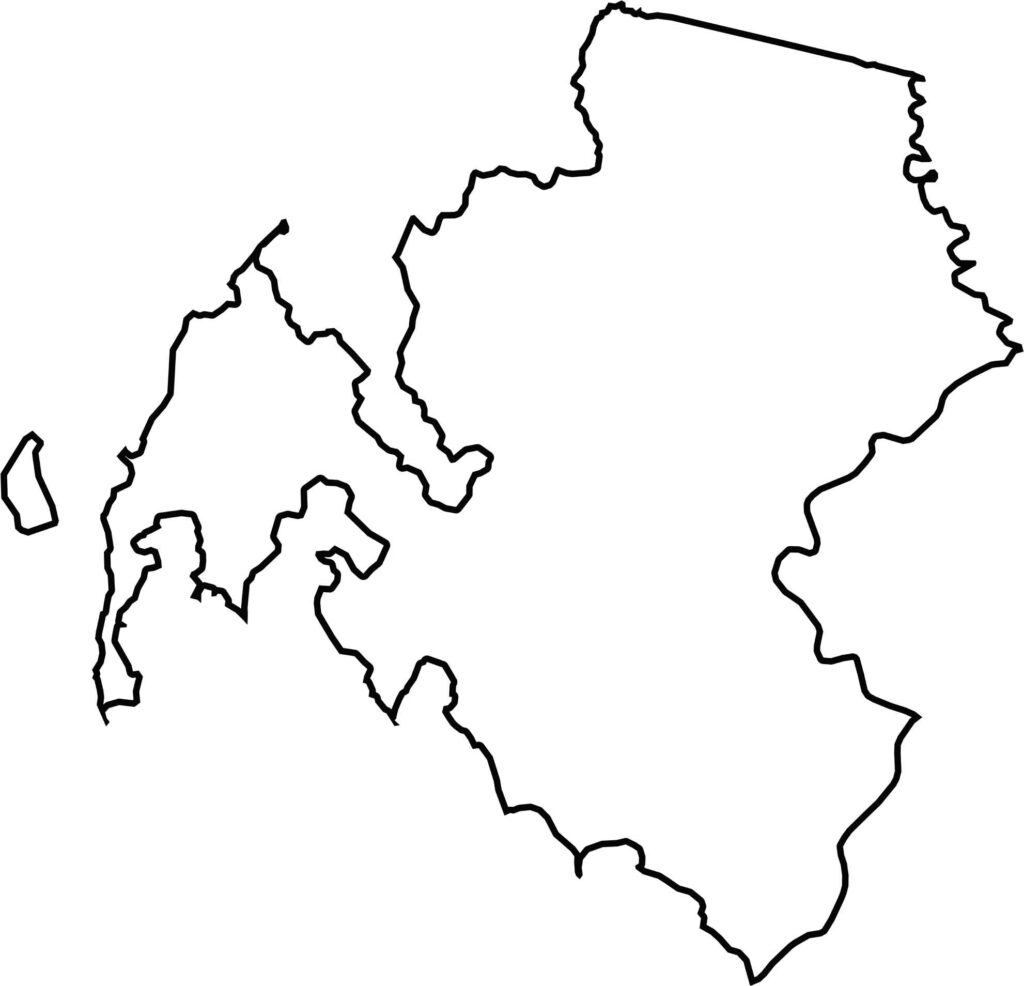
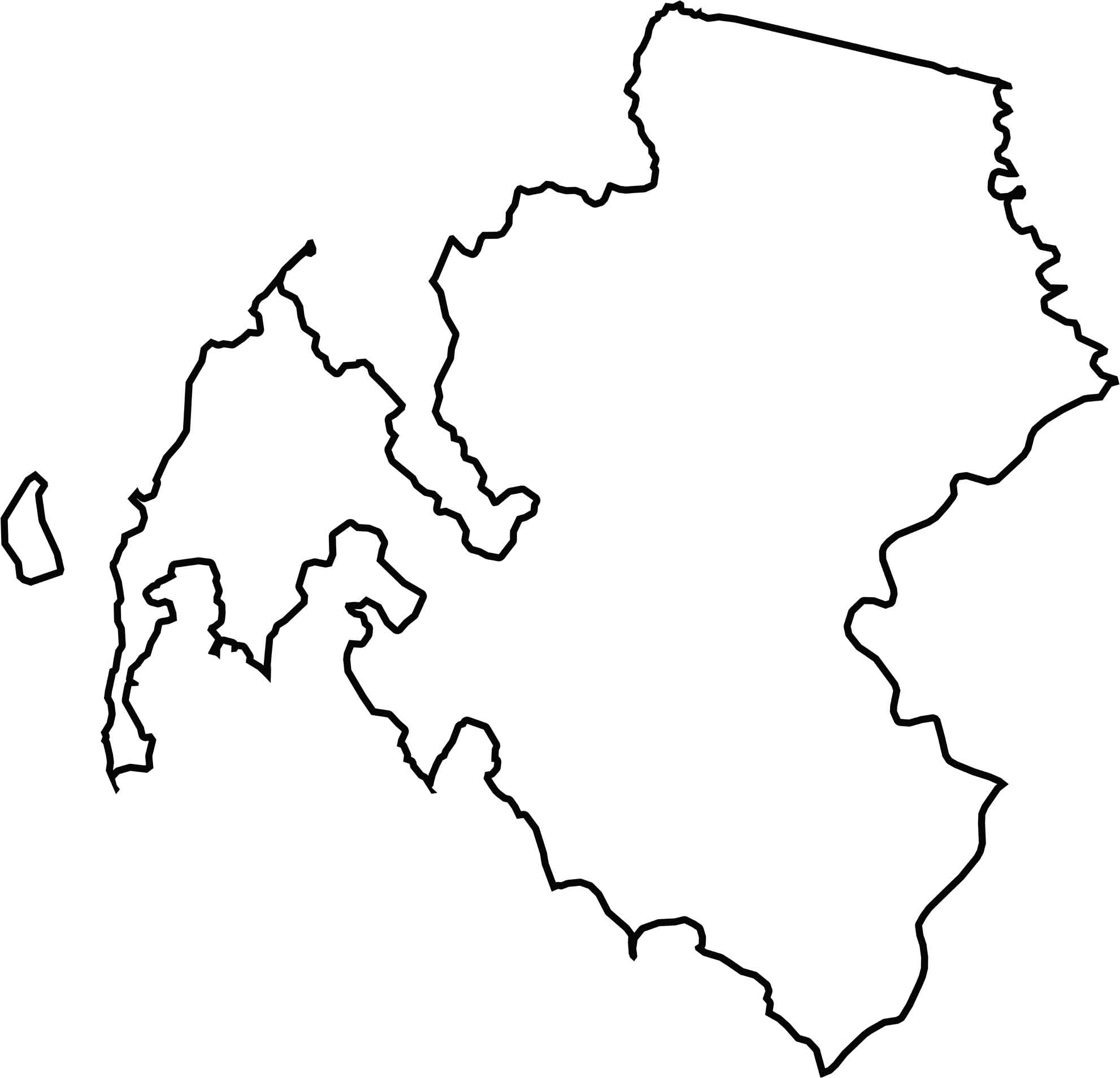
Talbot County has a jagged, water-defined shape divided into several sections by its extensive waterways. The county lies entirely within the state of Maryland, with no state borders along its boundaries.








With 23 counties and Baltimore City, Maryland offers a diverse mix of cities, small towns, rural communities, and scenic outdoor landscapes. From the Chesapeake Bay and coastal areas to historic towns and mountain regions, every part of the state has its own character. Explore our detailed Maryland county maps to learn more about the state’s counties, cities, roads, boundaries, and geographic features.