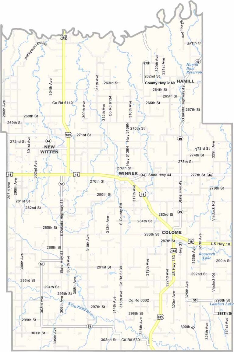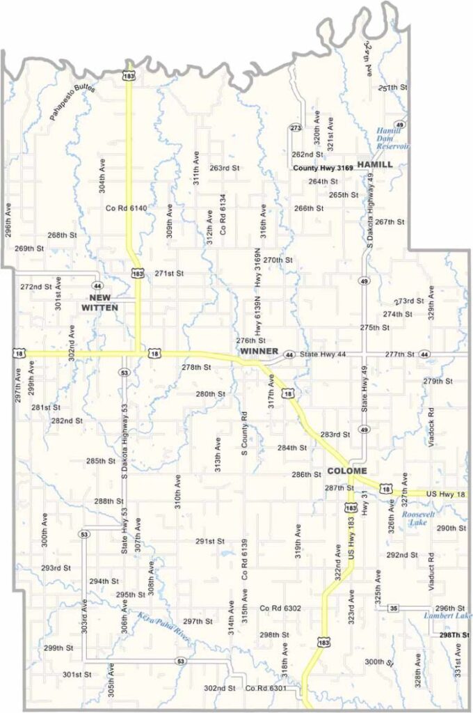
Tripp County Map, South Dakota

Tripp County, South Dakota

Tripp County sits in south-central South Dakota, right along the Nebraska border. The county seat, Winner, lives up to its name. It’s the biggest town for miles around.

Ranching is big business here, with plenty of cattle across the area. People here know how to work hard and play hard. Hunting season is treated almost like a holiday.

The local diner serves the best pie you’ll ever taste. And if you’re looking for peace and quiet, Tripp County definitely has it.
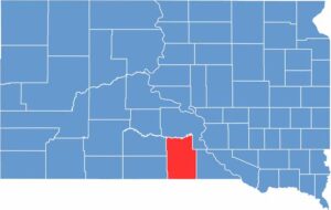

Tripp County location map of South Dakota
CategoryDetails
County NameTripp County
County SeatWinner
EtymologyNamed after Bartlett Tripp, a U.S. diplomat and Chief Justice of Dakota Territory
Cities, Towns, and CommunitiesWinner, Colome, Witten
Interstates and HighwaysU.S. Highway 18, U.S. Highway 183
FIPS Code46-123
Total Area (Land and Water)1,618 square miles (1,612 sq mi land, 6 sq mi water)
Adjacent Counties (and Direction)Lyman County (North), Gregory County (East), Keya Paha County, Nebraska (South), Cherry County, Nebraska (Southwest), Todd County (West), Mellette County (Northwest)
Time ZoneCentral Time Zone (CST)
StateSouth Dakota
Coordinates43°24’N, 99°52’W
Major LandmarksWinner City Park, Tripp County Courthouse
PopulationApproximately 5,400
Scroll to Top