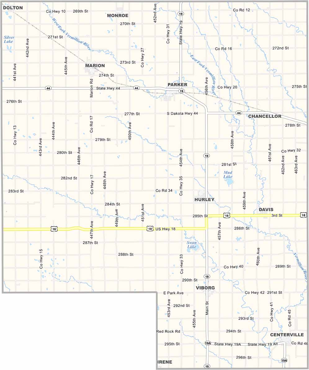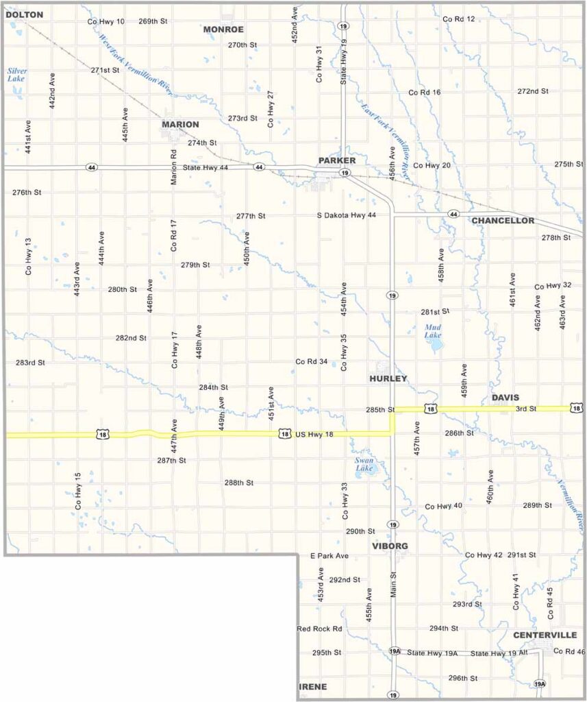
Turner County Map, South Dakota

Turner County, South Dakota

The Great Plains stretch into Turner County. Small communities like Marion and Viborg reflect the area’s Norwegian and German heritage.

Located in southeastern South Dakota, this place is all about agriculture. Corn and soybeans dominate the landscape. It’s flat and ideal for farming.

County fairs are a big deal, and so are high school sports. That’s just how it is in Turner County. Parker, the county seat, is a small town with a big heart. Folks are friendly. They’ll wave as you drive by.
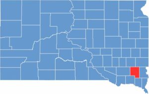

Turner County location map of South Dakota
CategoryDetails
County NameTurner County
County SeatParker
EtymologyNamed after John W. Turner, a legislator in Dakota Territory
Cities, Towns, and CommunitiesParker, Centerville, Marion, Viborg, Hurley, Chancellor
Interstates and HighwaysState Highway 19, State Highway 44
FIPS Code46-125
Total Area (Land and Water)617 square miles (617 sq mi land, <1 sq mi water)
Adjacent Counties (and Direction)Minnehaha County (Northeast), Lincoln County (East), Clay County (Southeast), Yankton County (Southwest), Hutchinson County (West), McCook County (Northwest)
Time ZoneCentral Time Zone (CST)
StateSouth Dakota
Coordinates43°19’N, 97°08’W
Major LandmarksSwan Lake, Turner County Courthouse, Turner County Fair
PopulationApproximately 8,300
Scroll to Top