Wahkiakum County, Washington

Wahkiakum County is a tiny corner of southwestern Washington, tucked along the Columbia River. It’s one of the least populous counties in the state, with Cathlamet serving as the only incorporated town and the county seat.

Forests and waterways shape much of the landscape. The Columbia River runs along the southern edge, while the Willapa Hills rise to the north. With no traffic lights in the county, life here moves at a relaxed and unhurried pace.

Logging has long been an important part of the local economy, while fishing and tourism also contribute to the community. Ferry boats continue to cross the Columbia, providing a connection to Oregon. For residents, the slow pace and peaceful surroundings are part of what makes Wahkiakum County special.


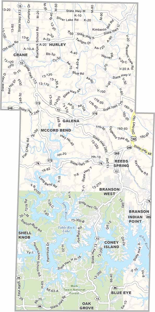
Printable Stone County Missouri location map showing county location and boundaries
CategoryDetails
County NameWahkiakum County
County SeatCathlamet
Cities, Towns, and CommunitiesCathlamet, Skamokawa, Rosburg, Grays River
Interstates and HighwaysWA-4, WA-409
EtymologyNamed after the Wahkiakum Native American tribe
FIPS Code53-069
Total Area (Land and Water)287 sq mi (Land: 263 sq mi; Water: 24 sq mi)
Time ZonePacific Time Zone (PT)
StateWashington
Coordinates46.2898° N, 123.4282° W
Major LandmarksJulia Butler Hansen Refuge for the Columbian White-Tailed Deer, Elochoman Slough Marina
Adjacent Counties (and Direction)Pacific County (Northwest), Lewis County (North), Cowlitz County (East), Columbia County, Oregon (South), Clatsop County, Oregon (Southwest)
PopulationApproximately 4,000
Scroll to Top