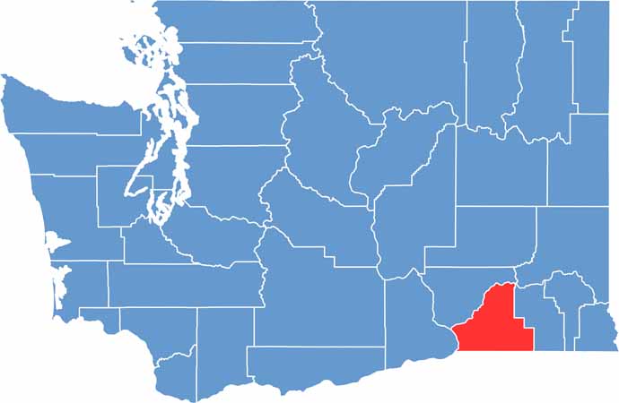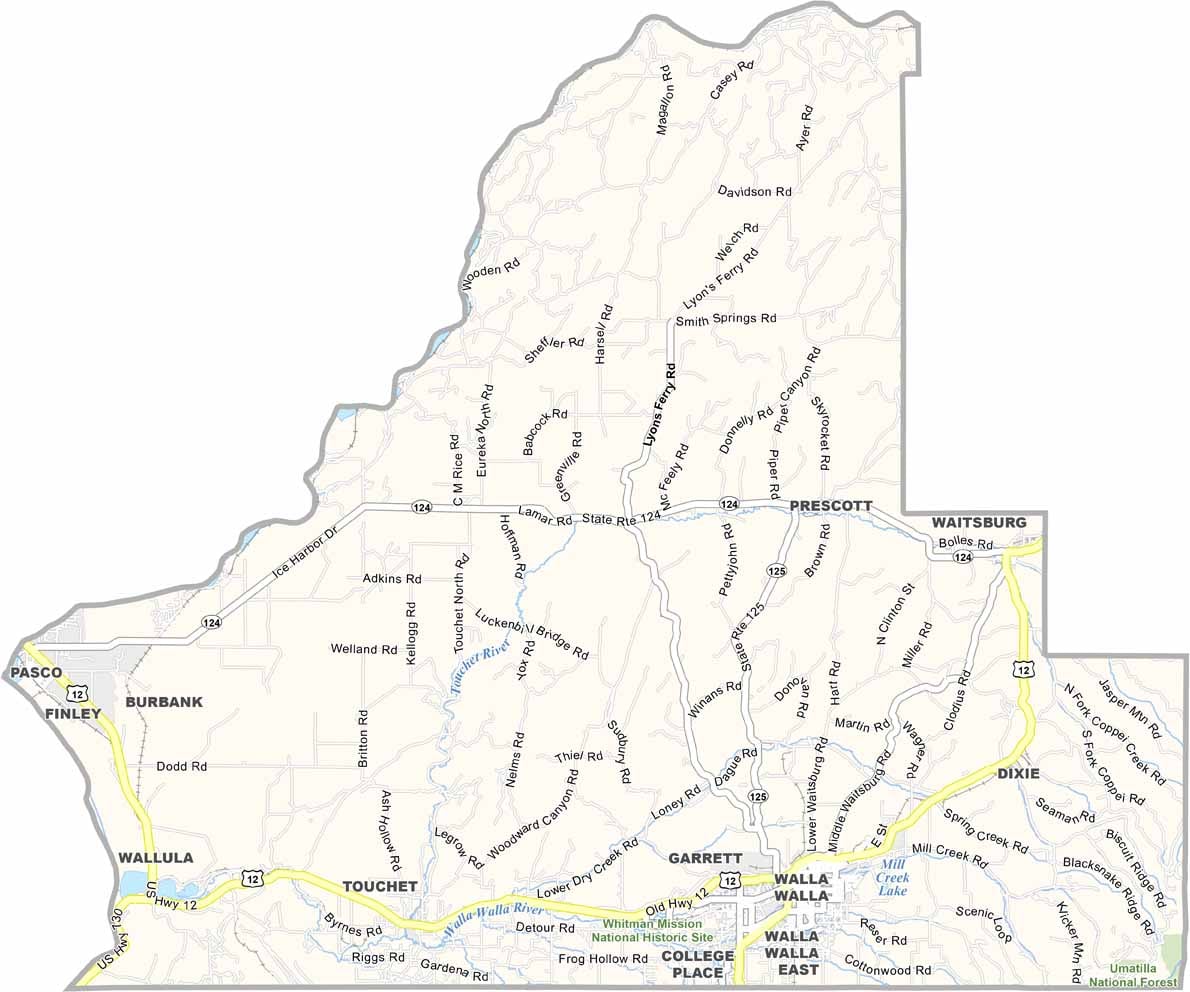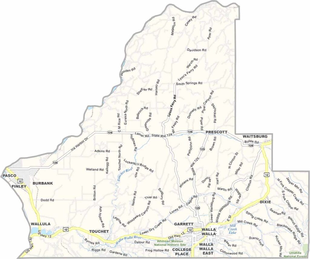
Walla Walla County sits in southeastern Washington and is famous for the sweet onions that share its name. Locals like to joke that they enjoyed the name so much, they simply said it twice. Agriculture is a major part of the county’s identity, with sweet onions, vineyards, and wine grapes playing important roles.
The county seat, also named Walla Walla, features a charming downtown filled with historic buildings, local shops, and popular wine-tasting rooms. The Blue Mountains rise to the east, creating a beautiful backdrop for the surrounding farmland and vineyards.
Walla Walla is also home to Whitman College, a respected liberal arts institution. The county has a rich history shaped by Native American communities and early frontier settlements.