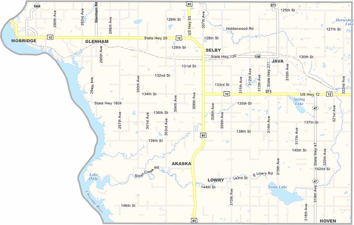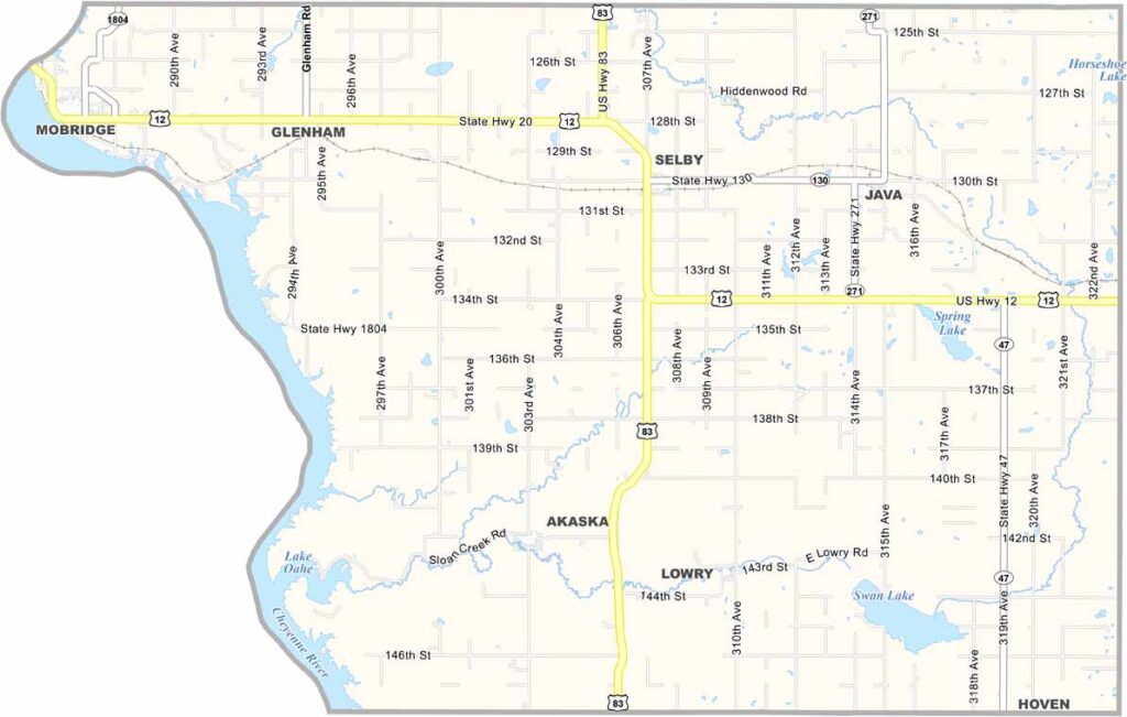
Walworth County Map, South Dakota

Walworth County, South Dakota

Walworth County sits in north-central South Dakota, straddling the Missouri River. Selby serves as the county seat, while Mobridge is the largest town.

It’s known as the “Walleye Capital of the World.” There’s a nice ring to it. Fishing is a way of life here, with plenty of lakes to enjoy.

The county has a mix of prairie and river valleys. Ranching is big business, and so is tourism, thanks to the river. Community spirit runs deep throughout Walworth County.
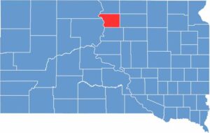

Walworth County location map of South Dakota
CategoryDetails
County NameWalworth County
County SeatSelby
EtymologyNamed after Walworth County, Wisconsin
Cities, Towns, and CommunitiesSelby, Mobridge, Java, Akaska, Glenham
Interstates and HighwaysU.S. Highway 12, U.S. Highway 83
FIPS Code46-129
Total Area (Land and Water)744 square miles (709 sq mi land, 35 sq mi water)
Adjacent Counties (and Direction)Campbell County (North), McPherson County (Northeast), Edmunds County (East), Potter County (South), Dewey County (Southwest), Corson County (Northwest)
Time ZoneCentral Time Zone (CST)
StateSouth Dakota
Coordinates45°27’N, 100°01’W
Major LandmarksLake Oahe, Mobridge Bridge, Sitting Bull Memorial
PopulationApproximately 5,300
Scroll to Top