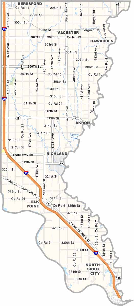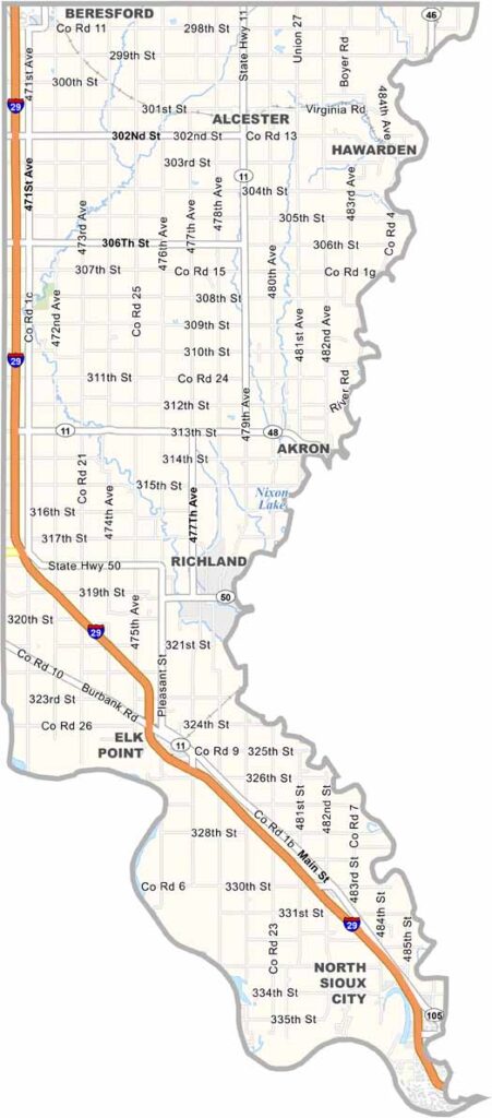
Union County Map, South Dakota

Union County, South Dakota

Union County is South Dakota’s southeastern-most county, tucked between Iowa and Nebraska. The Big Sioux River forms its eastern border.

It’s mostly rural, but don’t let that fool you. This county has some surprises. Elk Point, the county seat, has a rich history, and Lewis and Clark camped here. Industry is also picking up.

Agriculture thrives here. Yep, farming is still king. The soil is some of the richest in the state, with corn, soybeans, and alfalfa among the main crops. Outdoor enthusiasts also enjoy the area, where the Big Sioux and Missouri Rivers meet.
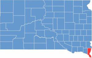

Union County location map of South Dakota
CategoryDetails
County NameUnion County
County SeatElk Point
EtymologyNamed to commemorate the Federal Union of the United States
Cities, Towns, and CommunitiesElk Point, North Sioux City, Beresford, Alcester, Jefferson
Interstates and HighwaysInterstate 29, U.S. Highway 50
FIPS Code46-127
Total Area (Land and Water)467 square miles (461 sq mi land, 6 sq mi water)
Adjacent Counties (and Direction)Lincoln County (North), Sioux County, Iowa (Northeast), Plymouth County, Iowa (East), Woodbury County, Iowa (Southeast), Dakota County, Nebraska (South), Dixon County, Nebraska (Southwest), Clay County (West)
Time ZoneCentral Time Zone (CST)
StateSouth Dakota
Coordinates42°50’N, 96°39’W
Major LandmarksUnion Grove State Park, Adams Homestead and Nature Preserve, Missouri River
PopulationApproximately 17,000
Scroll to Top