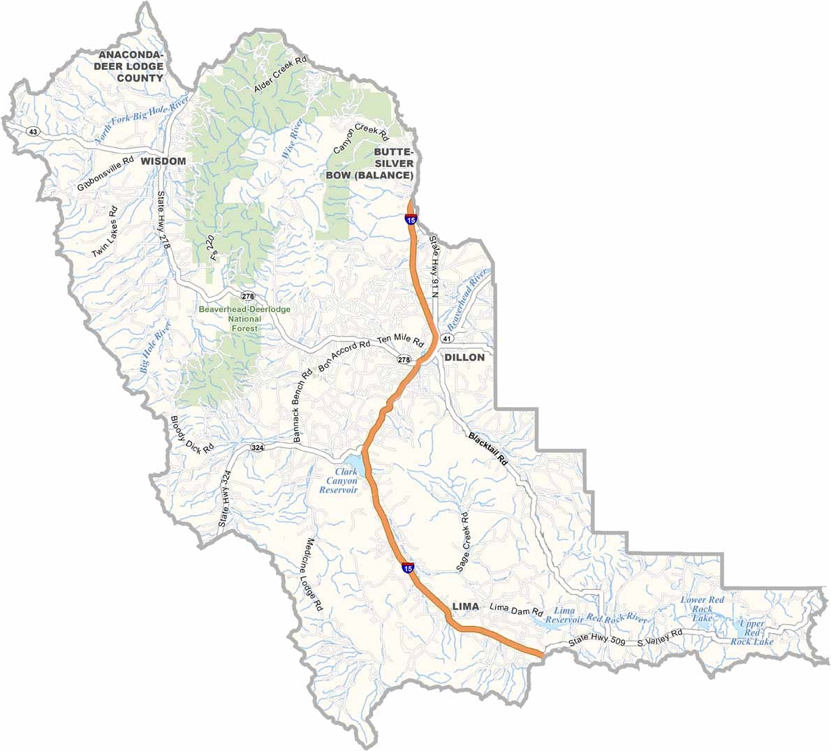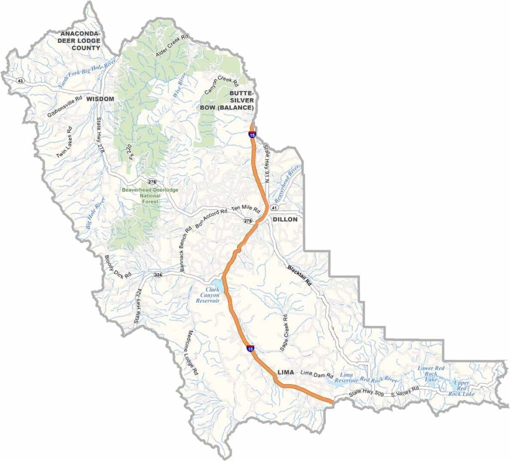
Beaverhead County, Montana

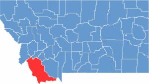
Montana’s largest county by land area is Beaverhead County, a place of rugged beauty and wide-open spaces. The county stretches across the southwestern corner of the state, bordering Idaho.

It gets its name from Beaverhead Rock, a distinctive landmark used by Native Americans and Lewis and Clark. Dillon is the county seat and sits along I-15. Ranching is king here, with cattle far outnumbering people.

The county’s landscape is diverse, ranging from sagebrush plains to snow-capped peaks. Visitors flock to Beaverhead for world-class fly fishing on the Big Hole River. You’ll also find ghost towns like Bannack, Montana’s first territorial capital. Despite its enormous size, the county has a small population, giving it a frontier feel that’s becoming rare these days.

CategoryDetails
County NameBeaverhead County
County SeatDillon
EtymologyNamed after the Beaverhead Rock, a landmark shaped like a beaver’s head in the county
Cities, Towns, and CommunitiesDillon, Lima, Wisdom, Jackson, Polaris
Interstates and HighwaysI-15, MT 43, MT 41
FIPS Code30-001
Total Area (Land and Water)5,572 square miles (Land: 5,542 sq mi, Water: 30 sq mi)
Adjacent Counties (and Direction)Ravalli County (Northwest), Deer Lodge County (North), Silver Bow County (North), Madison County (East), Fremont County, Idaho (Southeast), Clark County, Idaho (South), Lemhi County, Idaho (West)
Time ZoneMountain Time Zone (MT)
StateMontana
Coordinates45.2166° N, 112.6343° W
Major LandmarksBeaverhead-Deerlodge National Forest, Bannack State Park, Clark Canyon Reservoir
PopulationApproximately 9,800
Scroll to Top