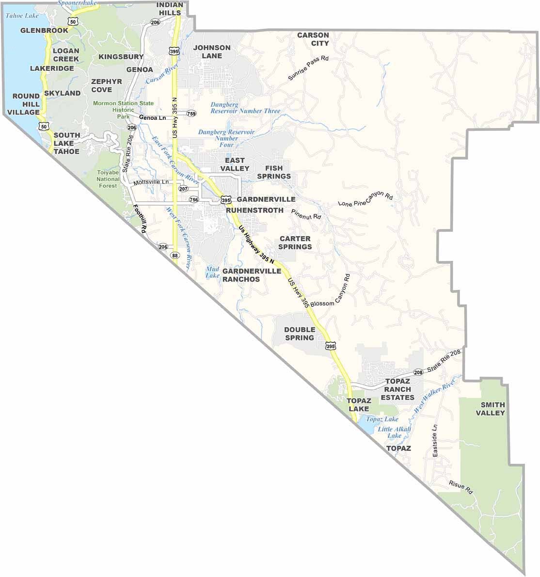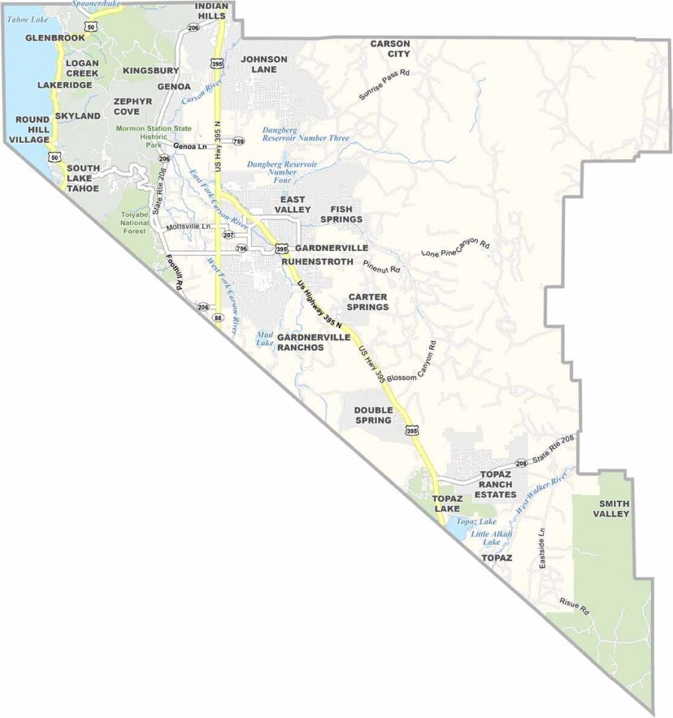
Douglas County Map, Nevada

Douglas County, Nevada

Douglas County sits in western Nevada, right on the California border, where the Sierra Nevada mountains meet the high desert. The crystal-clear waters of Lake Tahoe form part of the county's western edge.

Minden and Gardnerville are the main towns, each with its own quirky charm. Ranching is still a big deal here, so you'll see plenty of cattle grazing on open land. The Carson Valley is a photographer's dream, especially when hot air balloons take to the sky during the annual festival.

The Genoa Courthouse Museum shows off the county's rich history, and there are hiking, biking, and skiing options galore. Despite its proximity to Reno, Douglas County has managed to keep its rural feel. It's a place where you can still see the Milky Way at night, far from city lights.
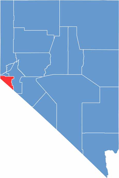
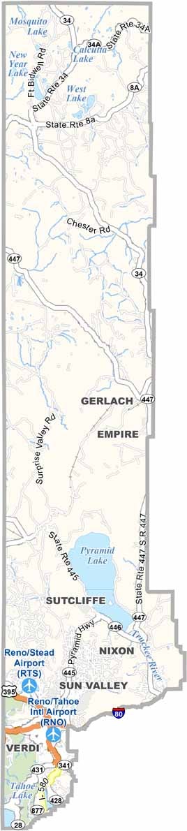
Douglas County location map of Nevada
CategoryDetails
County NameDouglas County
County SeatMinden
EtymologyNamed after Stephen A. Douglas, an American politician from Illinois
Cities, Towns, and CommunitiesMinden, Gardnerville, Stateline, Zephyr Cove, Genoa
Interstates and HighwaysU.S. Highway 395, Nevada State Route 88, Nevada State Route 206, Nevada State Route 207
FIPS Code32-005
Total Area (Land and Water)738 square miles (710 sq mi land, 28 sq mi water)
Adjacent Counties (and Direction)Carson City (North), Lyon County (East), Mono County, California (Southeast), Alpine County, California (South), El Dorado County, California (West), Placer County, California (Northwest)
Time ZonePacific Time Zone (PT)
StateNevada
Coordinates38.9265° N, 119.6499° W
Major LandmarksLake Tahoe, Heavenly Mountain Resort, Genoa Courthouse Museum, Mormon Station State Historic Park
PopulationApproximately 50,000
Scroll to Top