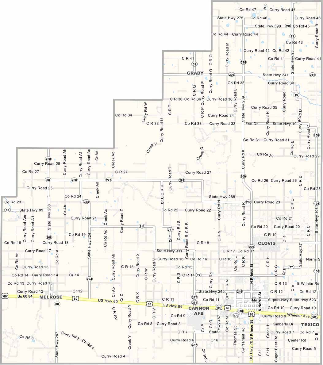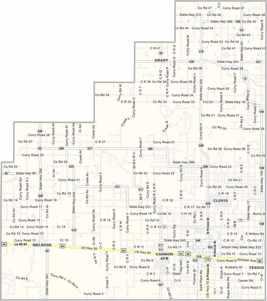
Curry County Map, New Mexico

Curry County, New Mexico

Big sky country meets the high plains in Curry County, way out in eastern New Mexico, right on the Texas border. Flat? You bet, but there's beauty in that openness. Clovis, the main town, is known for its music scene, and rock 'n' roll legend Buddy Holly recorded here.

Agriculture is the lifeblood of this county, with fields of wheat, sorghum, and cotton covering the region. Dairy farms are everywhere, and the joke goes that cows outnumber people here.

Cannon Air Force Base brings a mix of folks from all over, giving the area a unique vibe, that's for sure. Summers are hot, winters are cold, and the wind never stops blowing. People here are hardworking and no-nonsense, and they're proud of their rural roots.
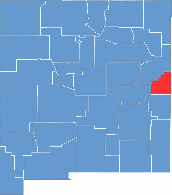

Curry County location map of New Mexico
CategoryDetails
County NameCurry County
County SeatClovis
EtymologyNamed after George Curry, territorial governor of New Mexico
Cities, Towns, and CommunitiesClovis, Melrose, Texico, Grady
Interstates and HighwaysU.S. Route 60, U.S. Route 70, U.S. Route 84
FIPS Code35-009
Total Area (Land and Water)1,408 square miles (1,405 sq mi land, 3 sq mi water)
Adjacent Counties (and Direction)Quay County (Northwest), Roosevelt County (South), Bailey County, Texas (Southeast), Parmer County, Texas (East), Deaf Smith County, Texas (Northeast)
Time ZoneMountain Time Zone (MT)
StateNew Mexico
Coordinates34.5623° N, 103.3219° W
Major LandmarksHillcrest Park Zoo, Norman Petty Recording Studios, Blackwater Draw Museum
PopulationApproximately 49,000
Scroll to Top