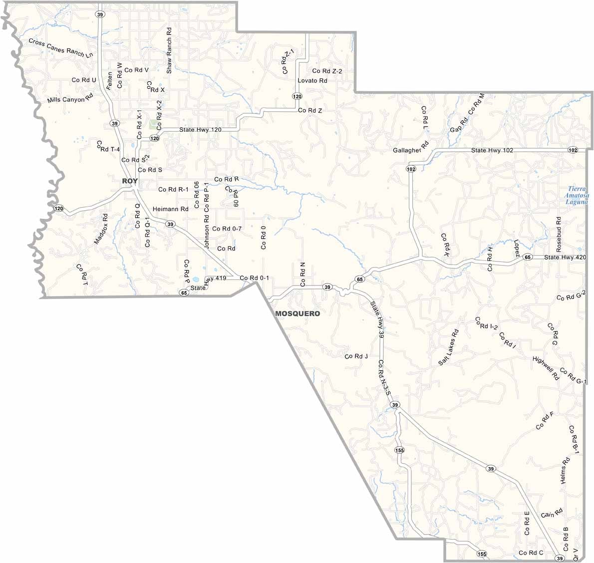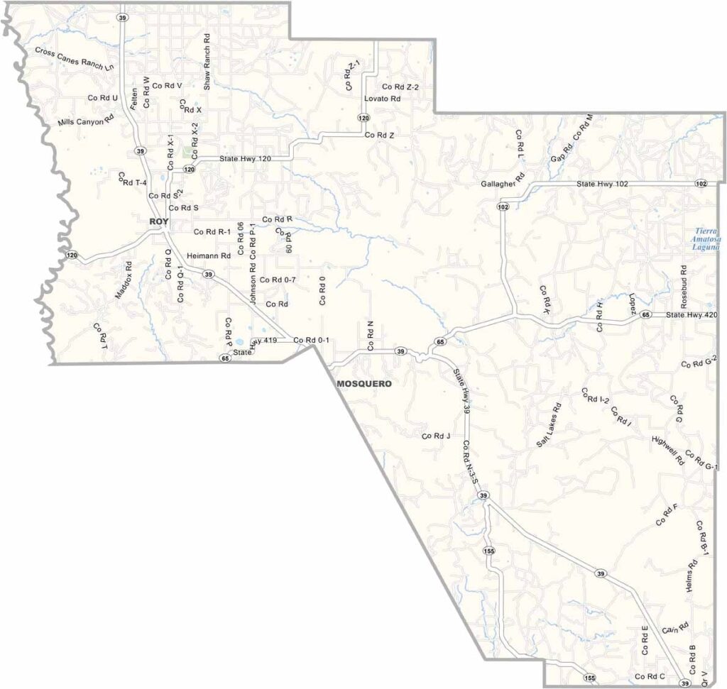
Harding County Map, New Mexico

Harding County, New Mexico

Harding County sits up in the northeastern corner of New Mexico and is one of the least populated counties in the state. Wide open spaces are the norm here, though the Canadian River cuts through the western border, creating dramatic canyons.

Mosquero, the county seat, is tiny but has charm to spare. This is ranch country, where the grasslands seem to stretch on forever. It's also a birdwatcher's paradise, with sandhill cranes stopping here during migration.

The night sky is incredible, with no light pollution for miles. Winters are harsh and summers are mild. Harding County is a place that feels untouched by time.
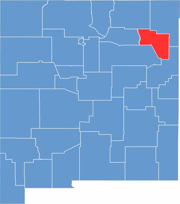

Harding County location map of New Mexico
CategoryDetails
County NameHarding County
County SeatMosquero
EtymologyNamed after Warren G. Harding, 29th President of the United States
Cities, Towns, and CommunitiesMosquero, Roy
Interstates and HighwaysNew Mexico State Road 39, New Mexico State Road 120
FIPS Code35-021
Total Area (Land and Water)2,126 square miles (2,125 sq mi land, 1 sq mi water)
Adjacent Counties (and Direction)Union County (Northeast), Quay County (Southeast), San Miguel County (South), Mora County (West), Colfax County (Northwest)
Time ZoneMountain Time Zone (MT)
StateNew Mexico
Coordinates35.8651° N, 103.8986° W
Major LandmarksKiowa National Grassland, Mills Canyon, Mosquero Canyon
PopulationApproximately 600
Scroll to Top