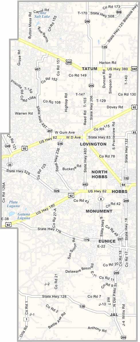
Lea County Map, New Mexico

Lea County, New Mexico

Lea County sits in the southeastern corner of New Mexico, right up against Texas. It's oil country, plain and simple, with pump jacks covering the landscape like giant grasshoppers.

Hobbs, the largest city, has that boom-and-bust energy, and the economy rides the oil price roller coaster. Ranching is also a big deal, and you'll see cattle grazing among the oil rigs.

The land is so flat that you can see for miles. Summers are hot and dry, and dust storms aren't uncommon. Lea County is where the Old West meets the modern energy industry.
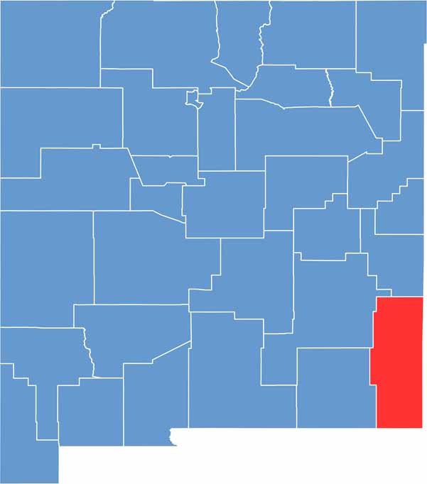

Lea County location map of New Mexico
CategoryDetails
County NameLea County
County SeatLovington
EtymologyNamed after Joseph Calloway Lea, a pioneer rancher in the New Mexico Territory
Cities, Towns, and CommunitiesHobbs, Lovington, Jal, Eunice, Tatum
Interstates and HighwaysU.S. Route 62, U.S. Route 82, U.S. Route 385, New Mexico State Road 18
FIPS Code35-025
Total Area (Land and Water)4,394 square miles (4,390 sq mi land, 4 sq mi water)
Adjacent Counties (and Direction)Roosevelt County (North), Chaves County (Northwest), Eddy County (West), Loving County, Texas (South), Winkler County, Texas (Southeast), Andrews County, Texas (East), Gaines County, Texas (East), Yoakum County, Texas (East), Cochran County, Texas (Northeast)
Time ZoneMountain Time Zone (MT)
StateNew Mexico
Coordinates32.8410° N, 103.4123° W
Major LandmarksLea County Cowboy Hall of Fame, Western Heritage Museum, Zia Park Casino
PopulationApproximately 74,000
Scroll to Top