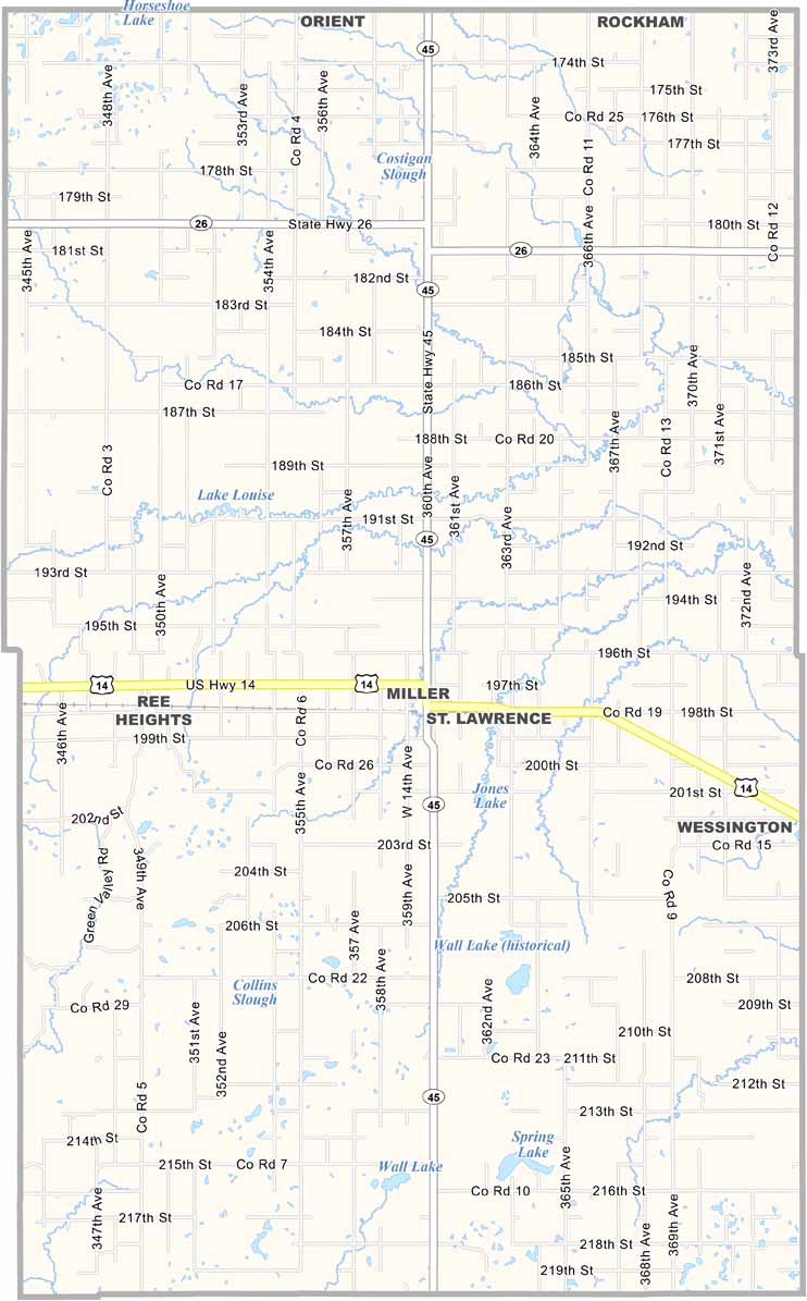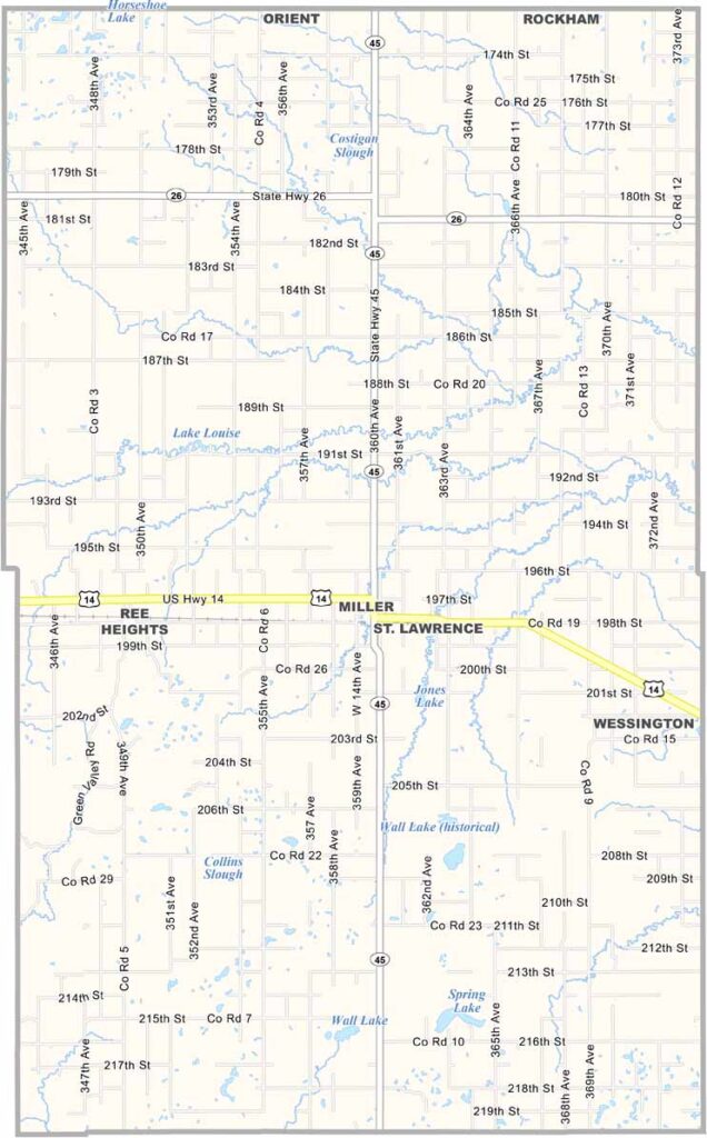
Hand County Map, South Dakota

Hand County, South Dakota

Hand County sits right in the middle of South Dakota. It’s named after George Hand, an early secretary of the Dakota Territory. Miller serves as the county seat near the center of the county.

Farming is the backbone of the local economy, with wheat, corn, and cattle among the main staples. The county fair in August brings the smaller communities together each year.

You’ll find plenty of great hunting grounds, especially for pheasants. The landscape is mostly prairie with gentle rolling hills. Community spirit runs deep throughout Hand County.
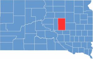

Hand County location map of South Dakota
CategoryDetails
County NameHand County
County SeatMiller
EtymologyNamed after George Hand, a prominent Dakota Territory legislator and secretary
Cities, Towns, and CommunitiesMiller, St. Lawrence, Ree Heights
Interstates and HighwaysU.S. Highway 14, State Highway 45
FIPS Code46-059
Total Area (Land and Water)1,444 square miles (1,437 sq mi land, 7 sq mi water)
Adjacent Counties (and Direction)Faulk County (North), Spink County (Northeast), Beadle County (East), Jerauld County (Southeast), Buffalo County (Southwest), Hyde County (West)
Time ZoneCentral Time Zone (CST)
StateSouth Dakota
Coordinates44°31’N, 99°03’W
Major LandmarksHand County Courthouse, Lake Louise State Recreation Area
PopulationApproximately 3,100
Scroll to Top