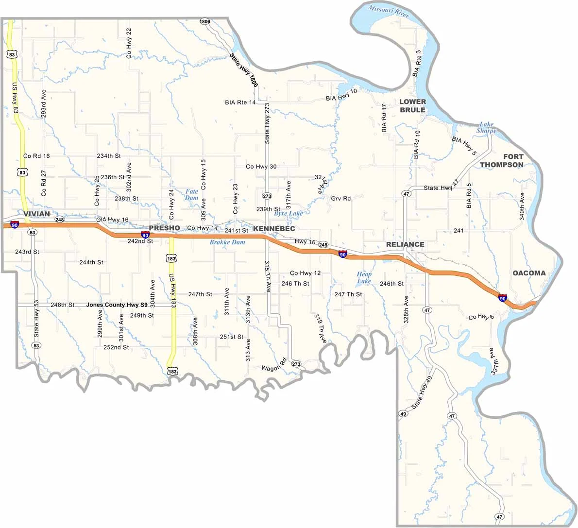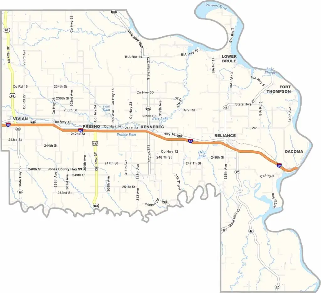
Lyman County Map, South Dakota

Lyman County, South Dakota

Lyman County sits in the middle of South Dakota, where the plains meet the Badlands. The Missouri River forms its eastern border.

Ranching is a major part of life here, with cattle spread across the open grasslands. The Lower Brule Sioux Reservation covers part of the county, while Medicine Creek winds through the countryside.

Life moves a little slower in Lyman County, and that’s just how folks like it. Kennebec serves as the county seat, and only about 3,700 people call the county home.
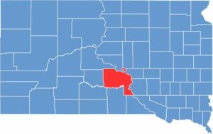

Lyman County location map of South Dakota
CategoryDetails
County NameLyman County
County SeatKennebec
EtymologyNamed after W.P. Lyman, a legislator in Dakota Territory
Cities, Towns, and CommunitiesKennebec, Presho, Reliance, Lower Brule, Vivian
Interstates and HighwaysInterstate 90, U.S. Highway 83
FIPS Code46-085
Total Area (Land and Water)1,707 square miles (1,641 sq mi land, 66 sq mi water)
Adjacent Counties (and Direction)Hughes County (North), Hyde County (Northeast), Buffalo County (Northeast), Brule County (East), Charles Mix County (Southeast), Gregory County (South), Tripp County (South), Mellette County (Southwest), Jones County (West), Stanley County (Northwest)
Time ZoneCentral Time Zone (CST)
StateSouth Dakota
Coordinates43°55’N, 99°52’W
Major LandmarksBig Bend Dam, Missouri River, Lower Brule Indian Reservation
PopulationApproximately 3,700
Scroll to Top