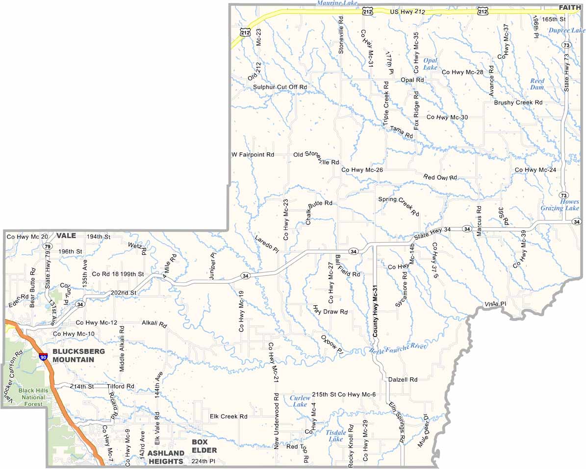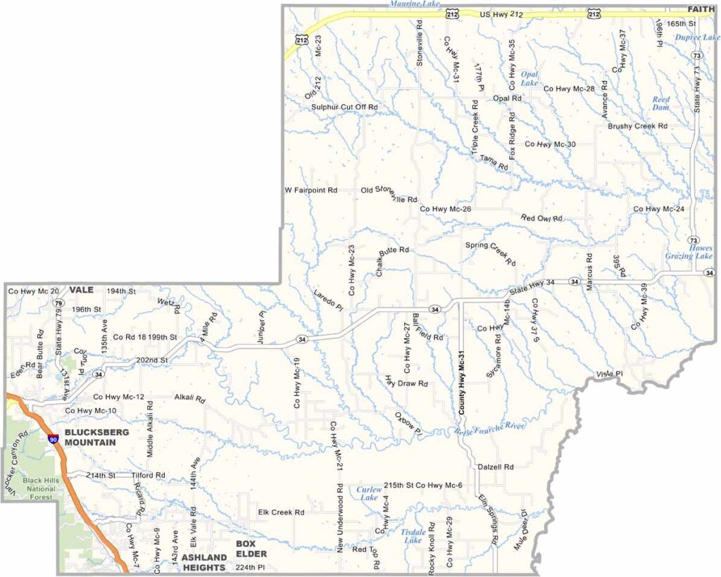
Meade County Map, South Dakota

Meade County, South Dakota

Meade County sprawls across western South Dakota, stretching from the Black Hills to the prairie. It’s also one of the largest counties east of the Mississippi.

Sturgis sits in the southwest and is famous for its motorcycle rally, which brings in nearly half a million bikers each August. But for most of the year, it’s pretty quiet.

Fort Meade, an old cavalry outpost, gave the county its name. Bear Butte rises on the eastern horizon and is sacred to many Native American tribes. Ranching is still a way of life here, while the Belle Fourche River cuts through the county.
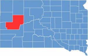

Meade County location map of South Dakota
CategoryDetails
County NameMeade County
County SeatSturgis
EtymologyNamed after George Meade, a General during the Civil War
Cities, Towns, and CommunitiesSturgis, Black Hawk, Summerset, Piedmont, Faith, Union Center
Interstates and HighwaysInterstate 90, U.S. Highway 212, State Highway 34
FIPS Code46-093
Total Area (Land and Water)3,483 square miles (3,471 sq mi land, 12 sq mi water)
Adjacent Counties (and Direction)Perkins County (North), Ziebach County (East), Haakon County (Southeast), Pennington County (South), Lawrence County (Southwest), Butte County (Northwest)
Time ZoneMountain Time Zone (MST)
StateSouth Dakota
Coordinates44°25’N, 102°46’W
Major LandmarksSturgis Motorcycle Rally, Bear Butte State Park, Fort Meade Recreation Area
PopulationApproximately 33,000
Scroll to Top