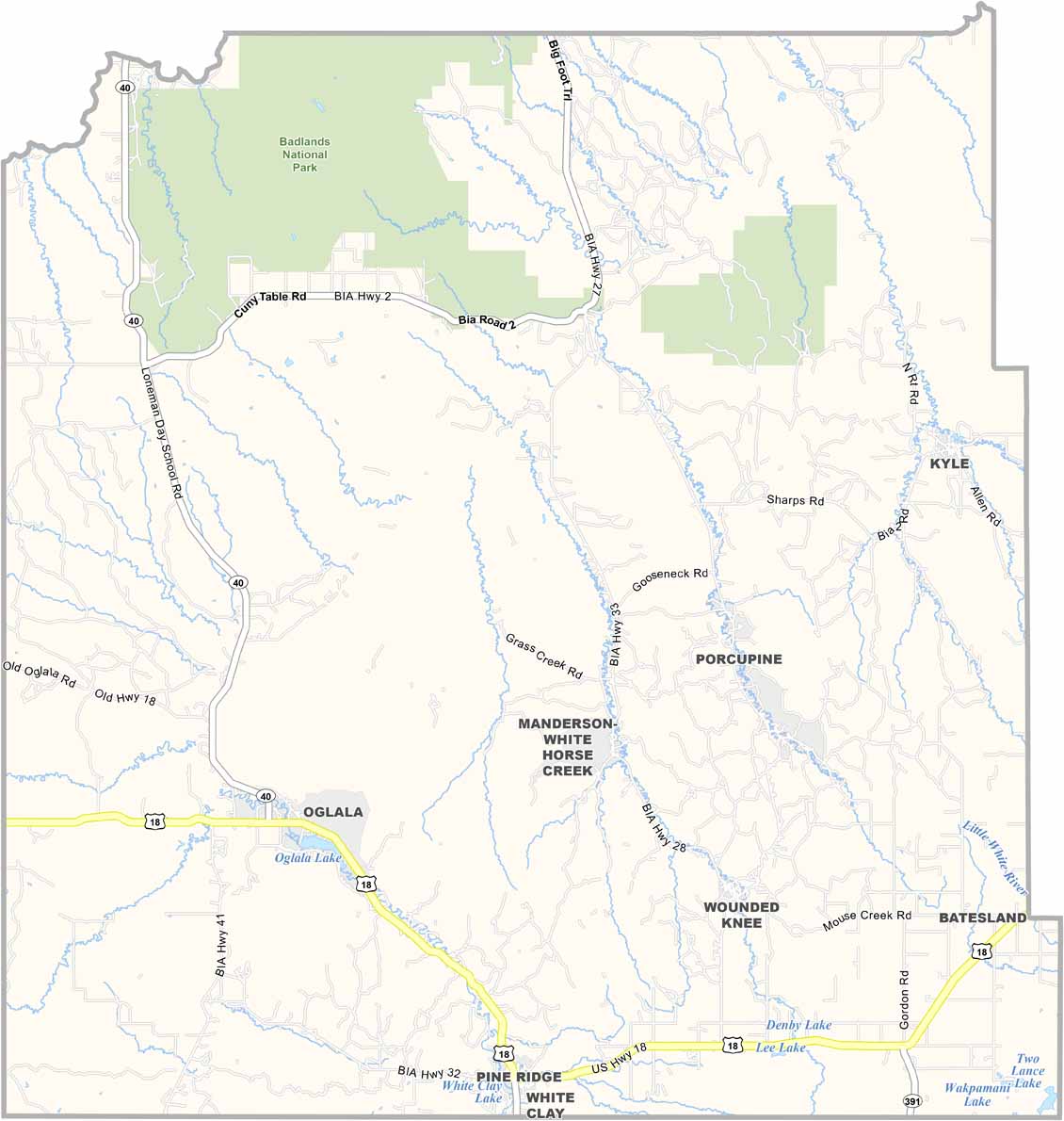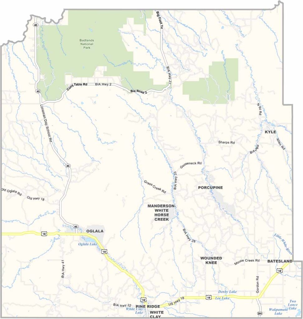
Oglala Lakota County Map, South Dakota

Oglala Lakota County, South Dakota

The Badlands create an otherworldly landscape in Oglala Lakota County. Badlands National Park stretches across the northern part of the county.

This place is steeped in history. The Oglala Lakota people call it home, and the Pine Ridge Indian Reservation covers much of the county. Tourism brings in some income as visitors come to experience the rugged landscape.

Poverty is a major issue here, but so is resilience. The people are strong and proud of their heritage. Previously known as Shannon County, Oglala Lakota County lies in southwestern South Dakota along the Nebraska border.
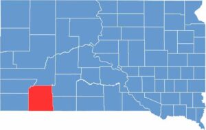

Oglala Lakota County location map of South Dakota
CategoryDetails
County NameOglala Lakota County
County SeatNo official county seat
EtymologyNamed after the Oglala Lakota, a Native American tribe
Cities, Towns, and CommunitiesPine Ridge, Kyle, Wounded Knee, Manderson, Porcupine
Interstates and HighwaysU.S. Highway 18, State Highway 27
FIPS Code46-102
Total Area (Land and Water)2,097 square miles (2,094 sq mi land, 3 sq mi water)
Adjacent Counties (and Direction)Pennington County (North), Jackson County (Northeast), Bennett County (East), Sheridan County, Nebraska (South), Dawes County, Nebraska (Southwest), Fall River County (West), Custer County (Northwest)
Time ZoneMountain Time Zone (MST)
StateSouth Dakota
Coordinates43°18’N, 102°33’W
Major LandmarksPine Ridge Indian Reservation, Wounded Knee Museum, Badlands National Park
PopulationApproximately 15,000
Scroll to Top