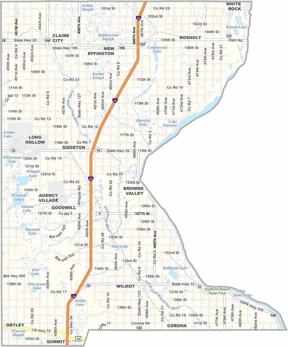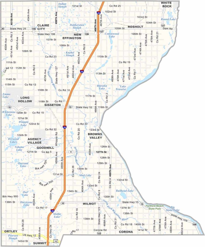
Roberts County Map, South Dakota

Roberts County, South Dakota

Roberts County sits in the northeastern corner of South Dakota. Lakes fill much of the landscape, with Lake Traverse forming the northeastern border.

The county is named after S.G. Roberts, a territorial governor. Sisseton is the largest town and has a rich Native American heritage. The Coteau des Prairies, a broad plateau, runs through the area. It’s subtle but beautiful.

Roberts County is close to Minnesota and North Dakota. The Lake Traverse Reservation occupies almost the entire county. Winters here are no joke, but spring brings new life to the prairies. Farmers and ranchers make up a big part of the community, where hard work is valued.
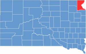

Roberts County location map of South Dakota
CategoryDetails
County NameRoberts County
County SeatSisseton
EtymologyNamed after Samuel G. Roberts, a legislator in Dakota Territory
Cities, Towns, and CommunitiesSisseton, Wilmot, Summit, New Effington, Rosholt
Interstates and HighwaysInterstate 29, U.S. Highway 12, State Highway 10
FIPS Code46-109
Total Area (Land and Water)1,135 square miles (1,101 sq mi land, 34 sq mi water)
Adjacent Counties (and Direction)Richland County, North Dakota (North), Traverse County, Minnesota (Northeast), Big Stone County, Minnesota (Southeast), Grant County (South), Day County (Southwest), Marshall County (West)
Time ZoneCentral Time Zone (CST)
StateSouth Dakota
Coordinates45°42’N, 96°55’W
Major LandmarksSica Hollow State Park, Fort Sisseton State Historic Park, Lake Traverse
PopulationApproximately 10,000
Scroll to Top