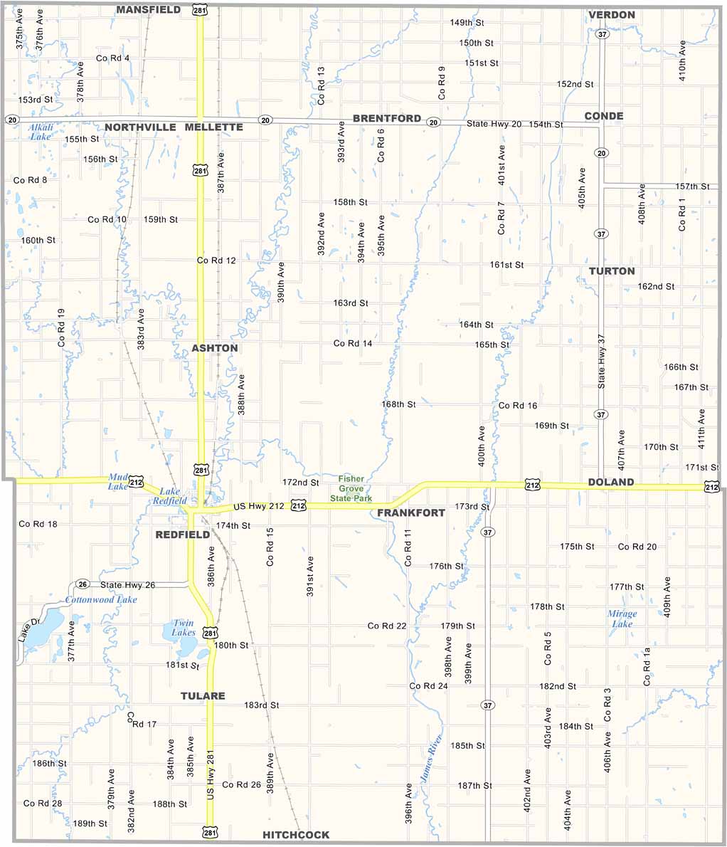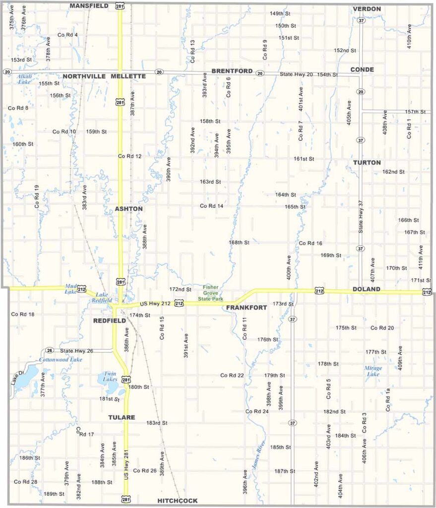
Spink County Map, South Dakota

Spink County, South Dakota

Spink County stretches across northeastern South Dakota. Redfield, the county seat, calls itself the “Pheasant Capital of the World.” They’re not kidding. Hunters flock here every fall.

It’s prime farm country. Wheat fields wave in the breeze, and silos are a common sight across the landscape. The James River meanders through the county.

The people here are hardy. They’re used to the ups and downs of farm life, and community spirit runs strong throughout the small towns. That’s Spink County for you.
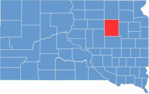

Spink County location map of South Dakota
CategoryDetails
County NameSpink County
County SeatRedfield
EtymologyNamed after Solomon Spink, a secretary in the Dakota Territory
Cities, Towns, and CommunitiesRedfield, Mellette, Ashton, Tulare, Doland
Interstates and HighwaysU.S. Highway 212, State Highway 37
FIPS Code46-115
Total Area (Land and Water)1,510 square miles (1,504 sq mi land, 6 sq mi water)
Adjacent Counties (and Direction)Brown County (North), Day County (Northeast), Clark County (East), Beadle County (South), Hand County (Southwest), Faulk County (West)
Time ZoneCentral Time Zone (CST)
StateSouth Dakota
Coordinates44°53’N, 98°34’W
Major LandmarksTurtle Creek State Park, Redfield Carnegie Library, Lake Louise State Recreation Area
PopulationApproximately 6,300
Scroll to Top