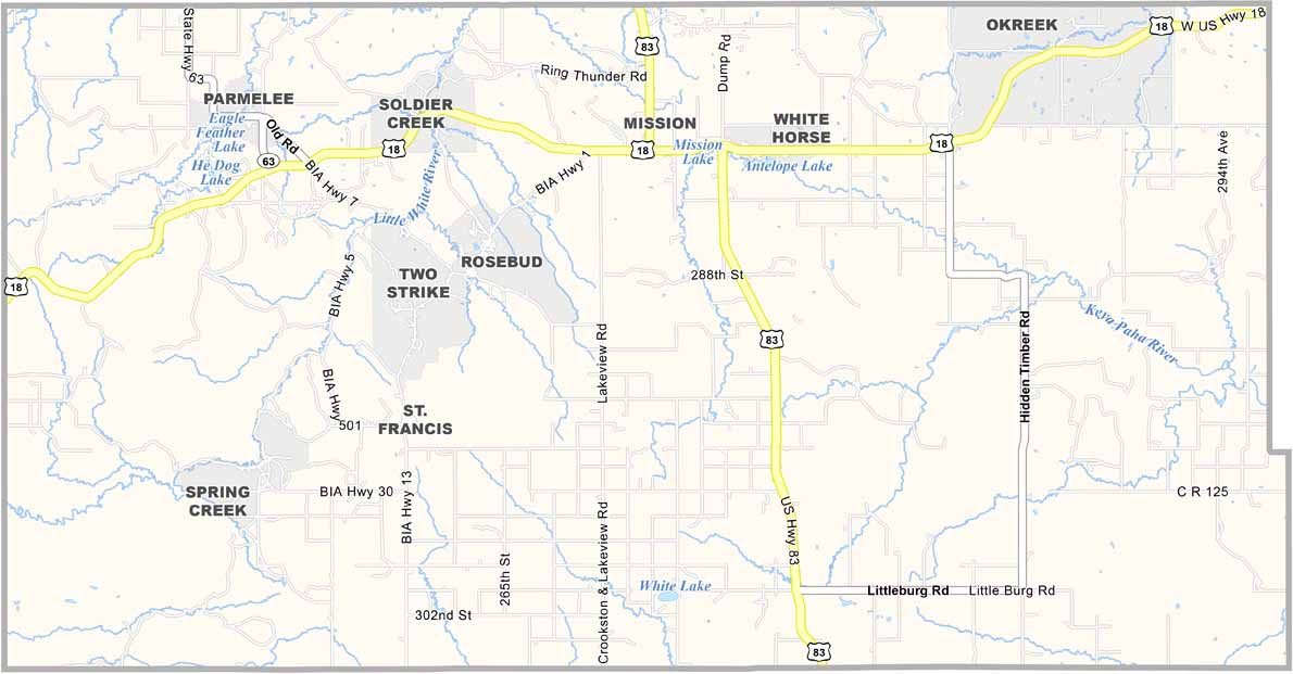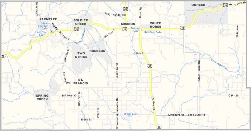
Todd County Map, South Dakota

Todd County, South Dakota

Todd County sits along South Dakota’s southern border with Nebraska. It’s part of the Rosebud Indian Reservation, where Native American culture remains strong. The land tells a story.

Rolling hills give way to prairie grasslands. Ranching is a way of life for many, but it isn’t easy. Poverty remains a challenge.

Still, there’s a strong sense of community. People look out for each other. Todd County is a place where struggle and beauty exist side by side.
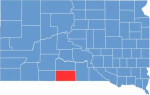

Todd County location map of South Dakota
CategoryDetails
County NameTodd County
County SeatNo official county seat
EtymologyNamed after John Blair Smith Todd, an early settler and delegate to Congress from Dakota Territory
Cities, Towns, and CommunitiesMission, Rosebud, St. Francis, Antelope, Parmelee
Interstates and HighwaysU.S. Highway 18, U.S. Highway 83
FIPS Code46-121
Total Area (Land and Water)1,391 square miles (1,388 sq mi land, 3 sq mi water)
Adjacent Counties (and Direction)Mellette County (North), Tripp County (East), Cherry County, Nebraska (South), Keya Paha County, Nebraska (Southeast), Bennett County (West), Jackson County (Northwest)
Time ZoneCentral Time Zone (CST)
StateSouth Dakota
Coordinates43°13’N, 100°38’W
Major LandmarksRosebud Indian Reservation, Sinte Gleska University
PopulationApproximately 10,000
Scroll to Top