
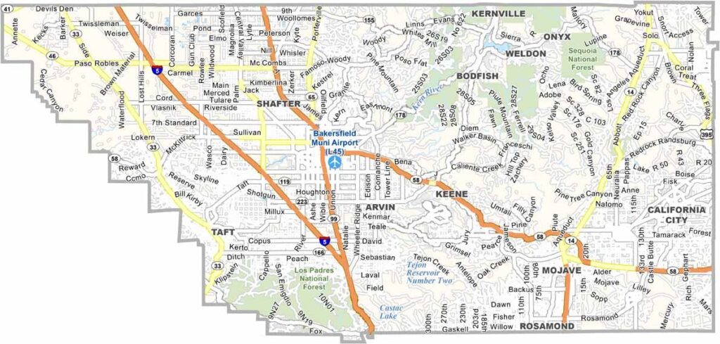
Kern County is a little like California in miniature, with landscapes ranging from the southern San Joaquin Valley to the Sierra Nevada and the Mojave Desert. This remarkable geographic variety gives the county a mix of farmland, mountains, and desert terrain.
Bakersfield is the county seat and largest city, with deep connections to agriculture, oil production, and country music. Kern County is one of California’s major agricultural regions, producing crops such as almonds, carrots, grapes, and citrus.
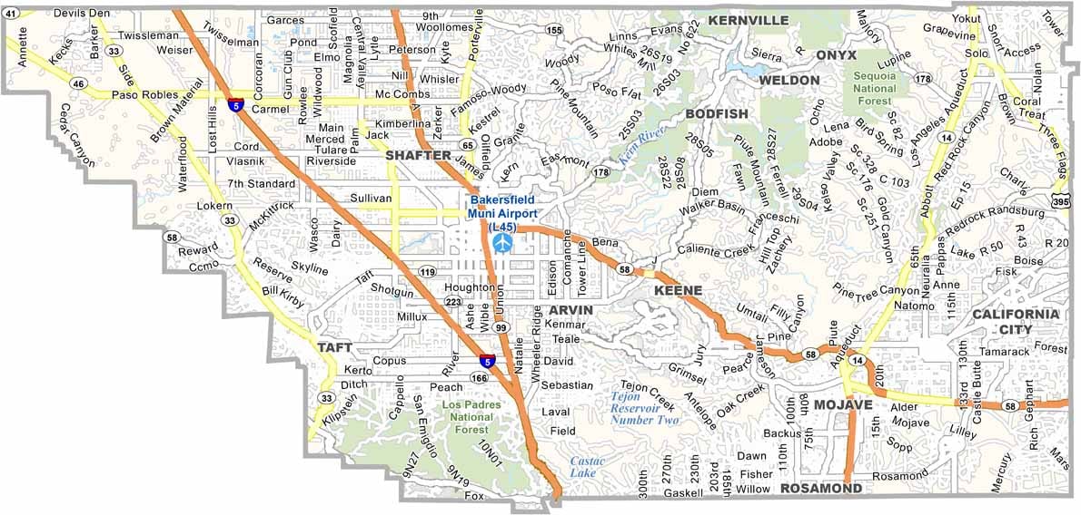
The county is also home to Edwards Air Force Base, where generations of test pilots and aerospace engineers have helped make aviation history. With a population of more than 920,000, Kern County is connected by major routes including Interstate 5 and Highway 99.
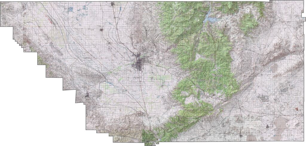
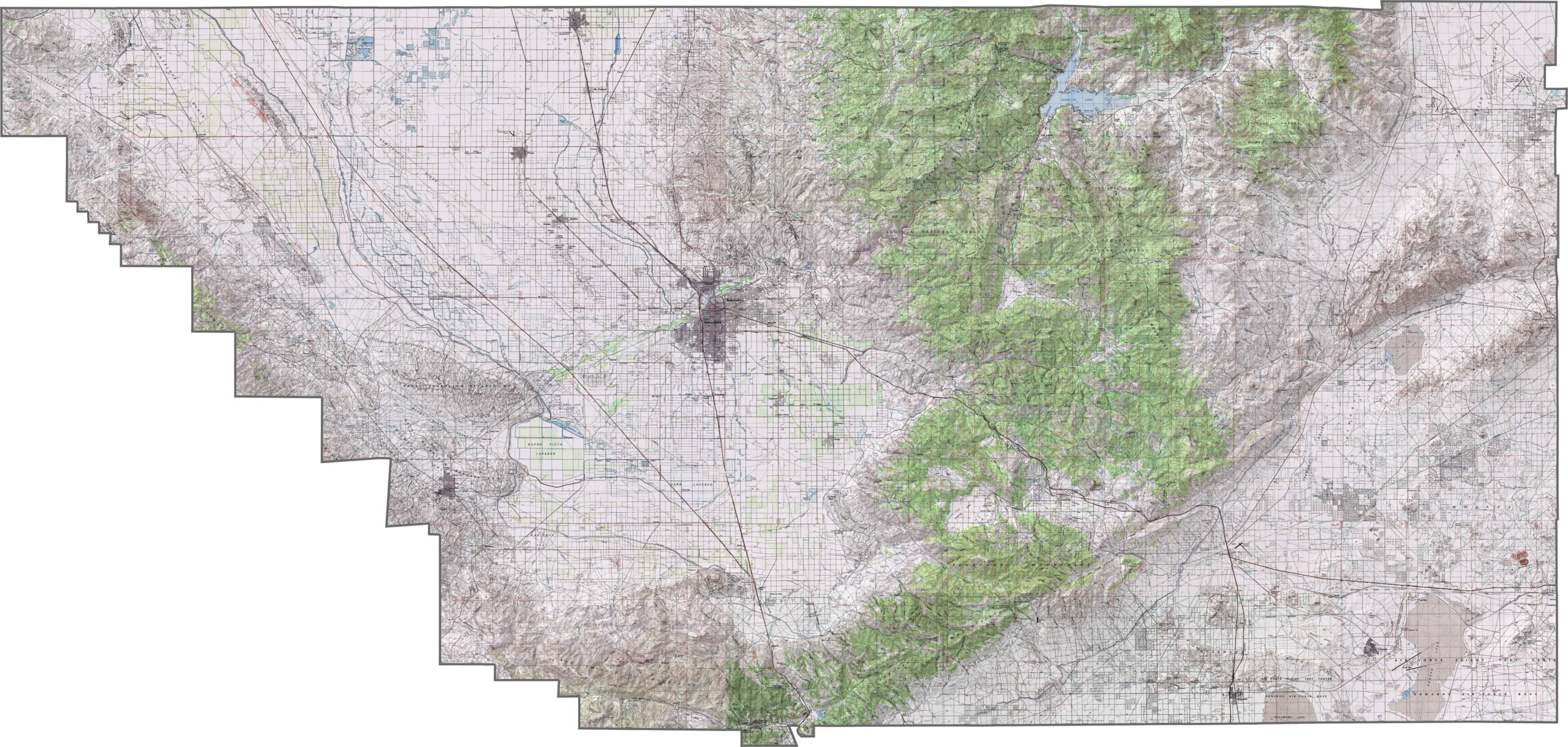
This topographic map highlights Kern County’s diverse terrain, spanning the southern San Joaquin Valley, Sierra Nevada, and Mojave Desert. The detailed contours reveal the transition from flat agricultural land to rugged mountain landscapes and arid desert basins.
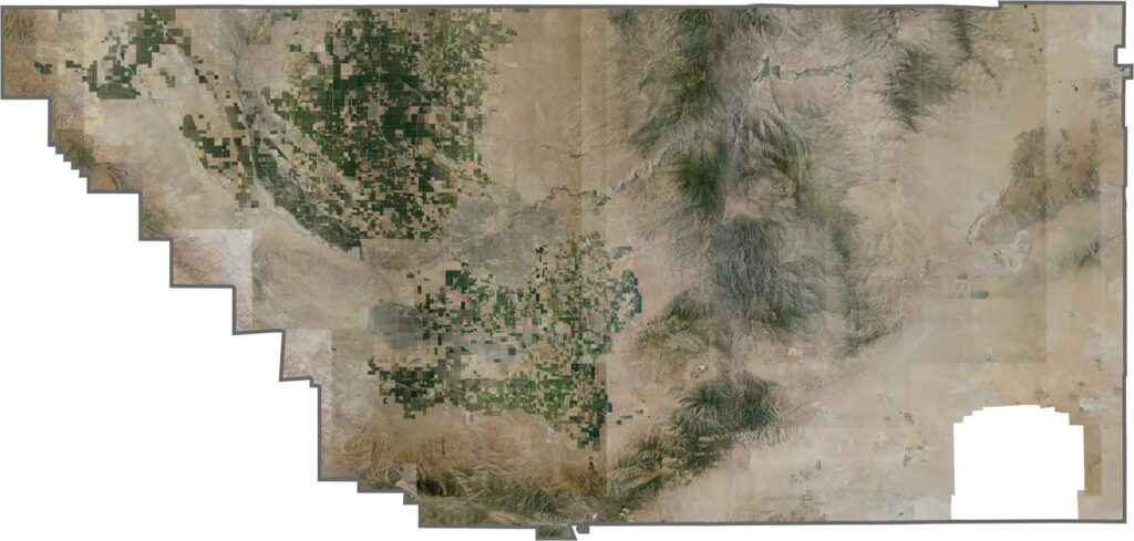
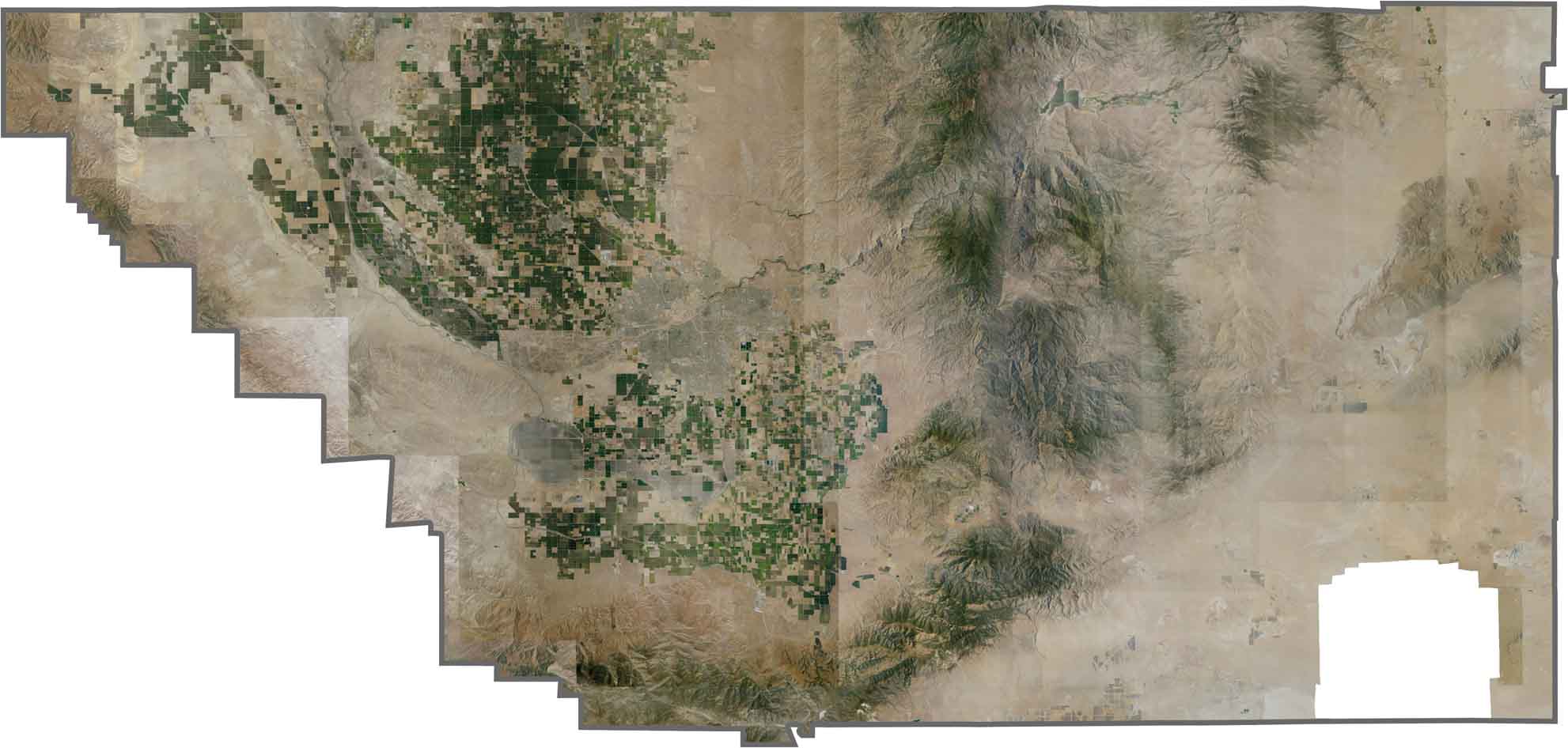
This satellite map shows the striking contrast between valley farmland, forested mountains, and desert landscapes across Kern County. Bakersfield stands out as a major urban center in the northwestern part of the county, surrounded by the expansive agricultural fields of the Central Valley.
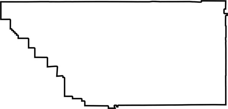
This blank map outlines Kern County’s large, irregular shape across southern California. The simple template emphasizes the county’s broad reach from the southern San Joaquin Valley into the Mojave Desert and its status as one of California’s largest counties by area.








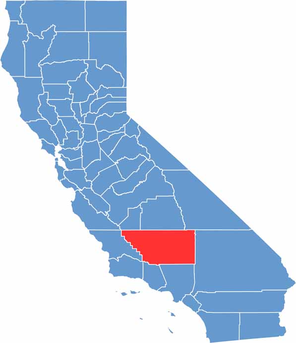
Ever wonder how California’s 58 counties are organized? Our California county map lays them all out, from the Pacific Coast to the vast desert regions. Explore the map to find the counties you know—and perhaps discover a few you don’t.