
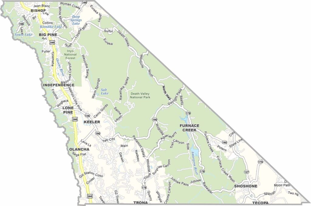
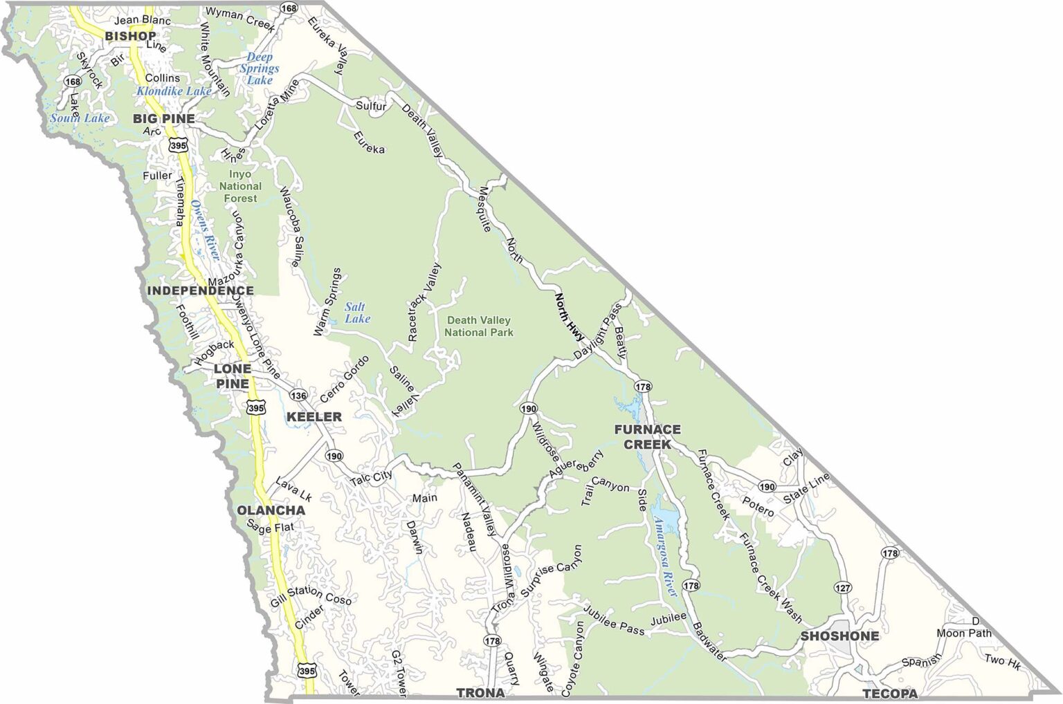
Inyo County is a land of extremes, stretching from the depths of Death Valley to the towering peaks of the Sierra Nevada. It includes some of the most dramatic elevation changes in the contiguous United States, with both exceptionally low desert terrain and some of the highest mountains in the lower 48.
The county extends from Death Valley toward the eastern Sierra, with Mammoth Lakes nearby to the north. Mount Whitney, the highest peak in the contiguous United States, rises along the county’s western edge, while a significant portion of Death Valley National Park lies within Inyo County.
Much of Inyo County is dominated by rugged mountains, dry desert valleys, and expansive wilderness. With relatively few communities and plenty of open space, it’s an ideal destination for anyone drawn to extreme landscapes, outdoor adventure, and remote scenery.
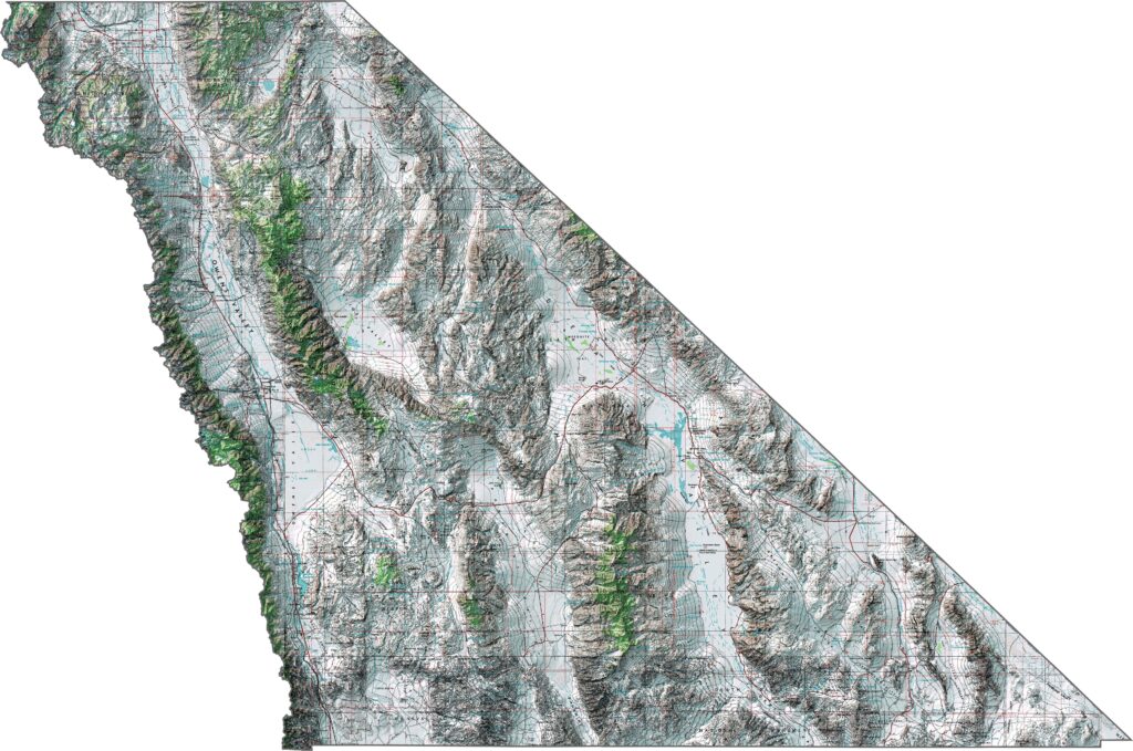
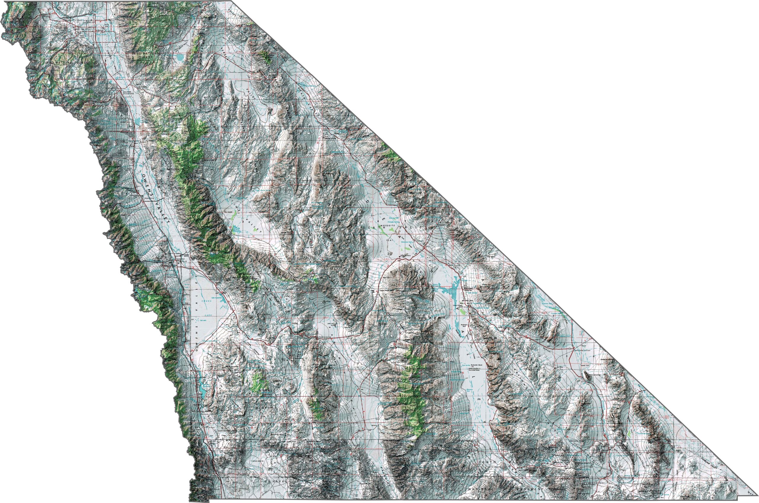
This topographic map highlights Inyo County’s extraordinary elevation range, from the depths of Death Valley to the high peaks of the Sierra Nevada. The detailed contours reveal why this is one of the most dramatic landscapes in the United States, with some of the greatest elevation differences in the contiguous country.
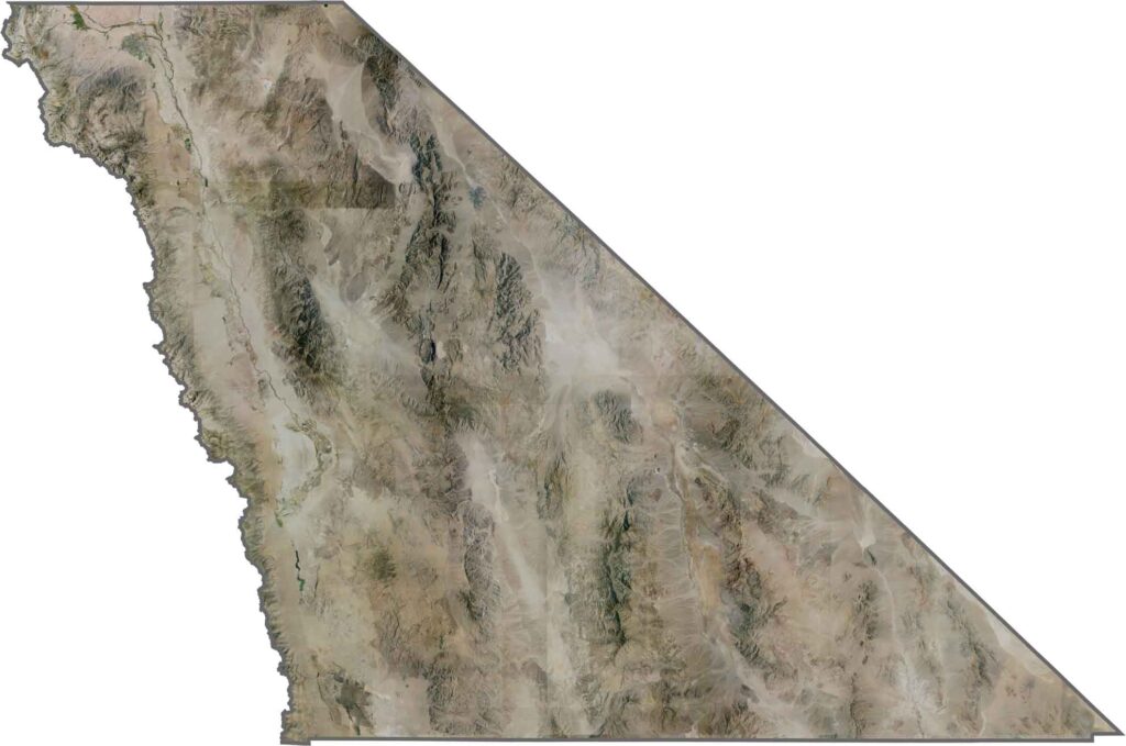
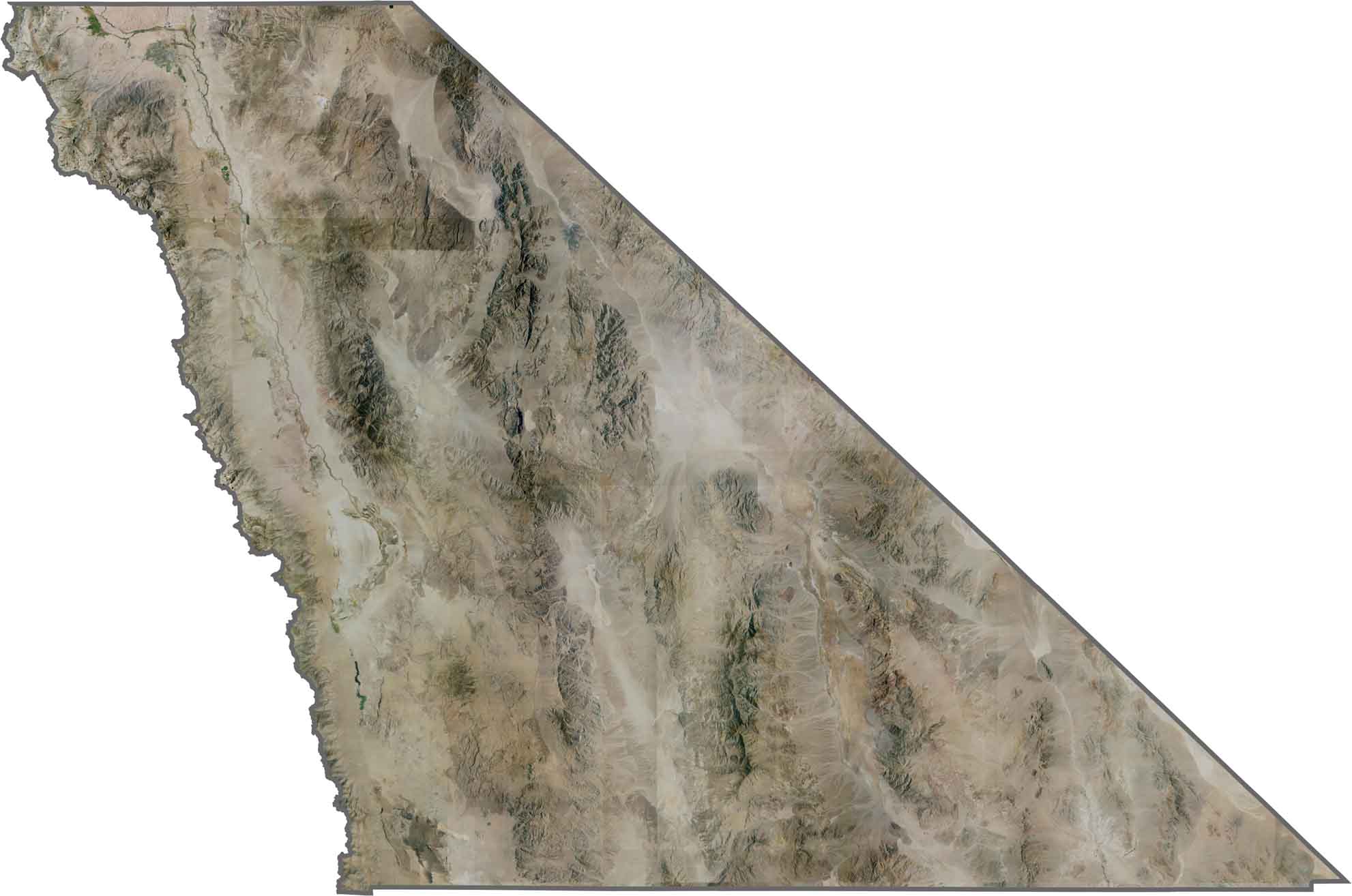
This satellite map shows the extreme desert landscape between Inyo County’s mountain ranges. Death Valley appears as a broad, light-colored basin, while the Sierra Nevada forms a dramatic, darker mountain barrier along the western side.
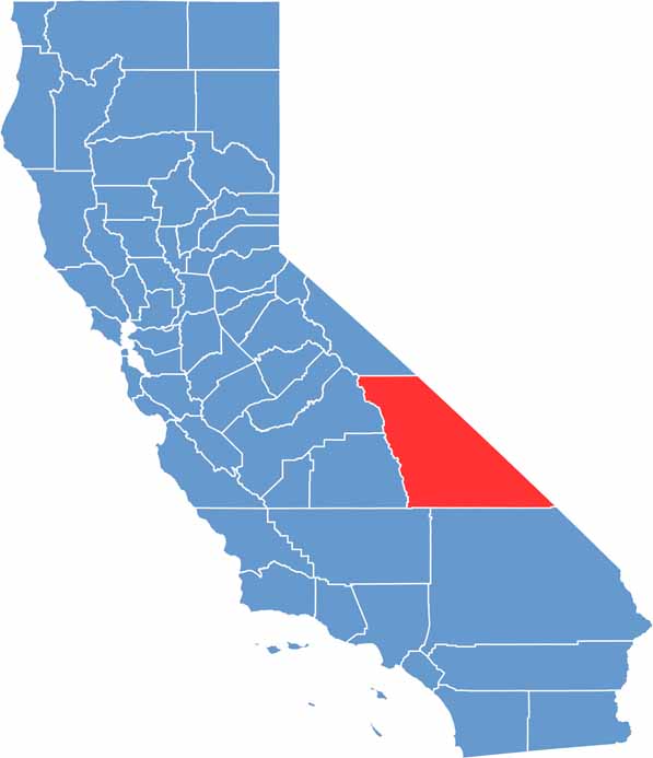
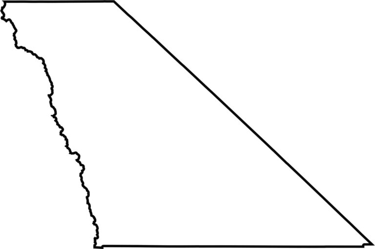
This blank map outlines Inyo County’s long, narrow shape in eastern California. The county stretches from Death Valley north toward the high Sierra Nevada, with much of its eastern boundary running along the Nevada state line.








Ever wonder how California’s 58 counties are organized? Our California county map lays them all out, from the Pacific Coast to the vast desert regions. Explore the map to find the counties you know—and perhaps discover a few you don’t.