
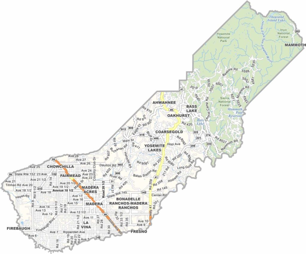
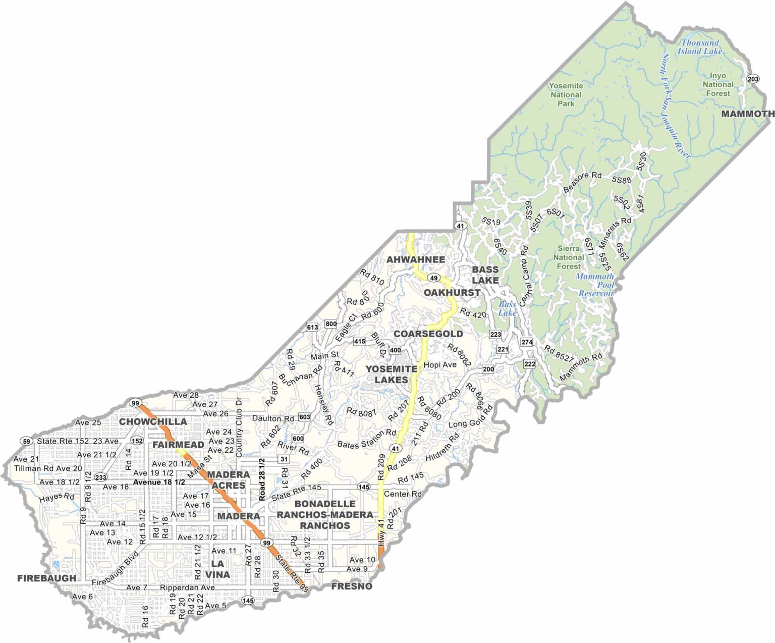
Madera County stretches from California’s Central Valley into the Sierra Nevada, offering a mix of fertile farmland and rugged mountain landscapes. Around 100,000 people live in the county, with Madera serving as the county seat and largest community.
Agriculture is a major part of life in the valley, with extensive almond orchards and vineyards covering the landscape. Head east into the mountains, and the scenery changes dramatically, with access to the southern Yosemite region adding to the county’s appeal.
Bass Lake is a popular destination for boating, fishing, and summer recreation, while Sierra National Forest provides miles of opportunities for hiking, camping, and exploring the mountains. With productive farmland in the west and expansive wilderness in the east, Madera County offers a balance between agriculture and outdoor adventure.
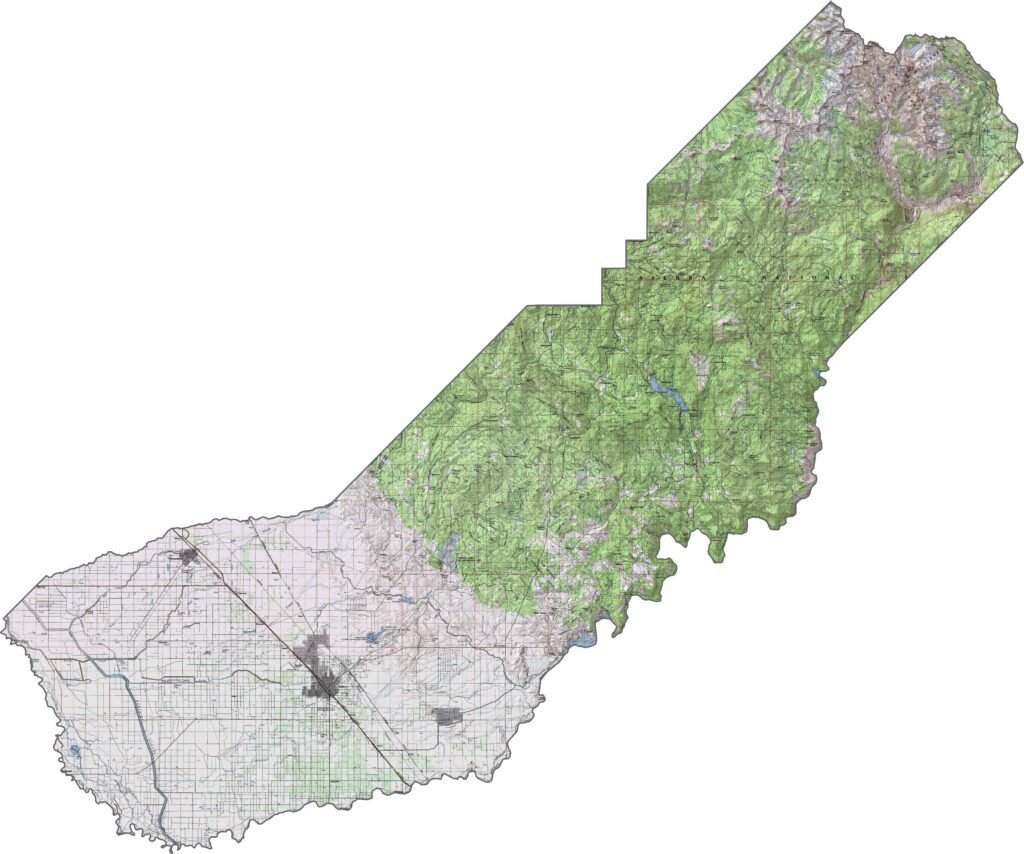
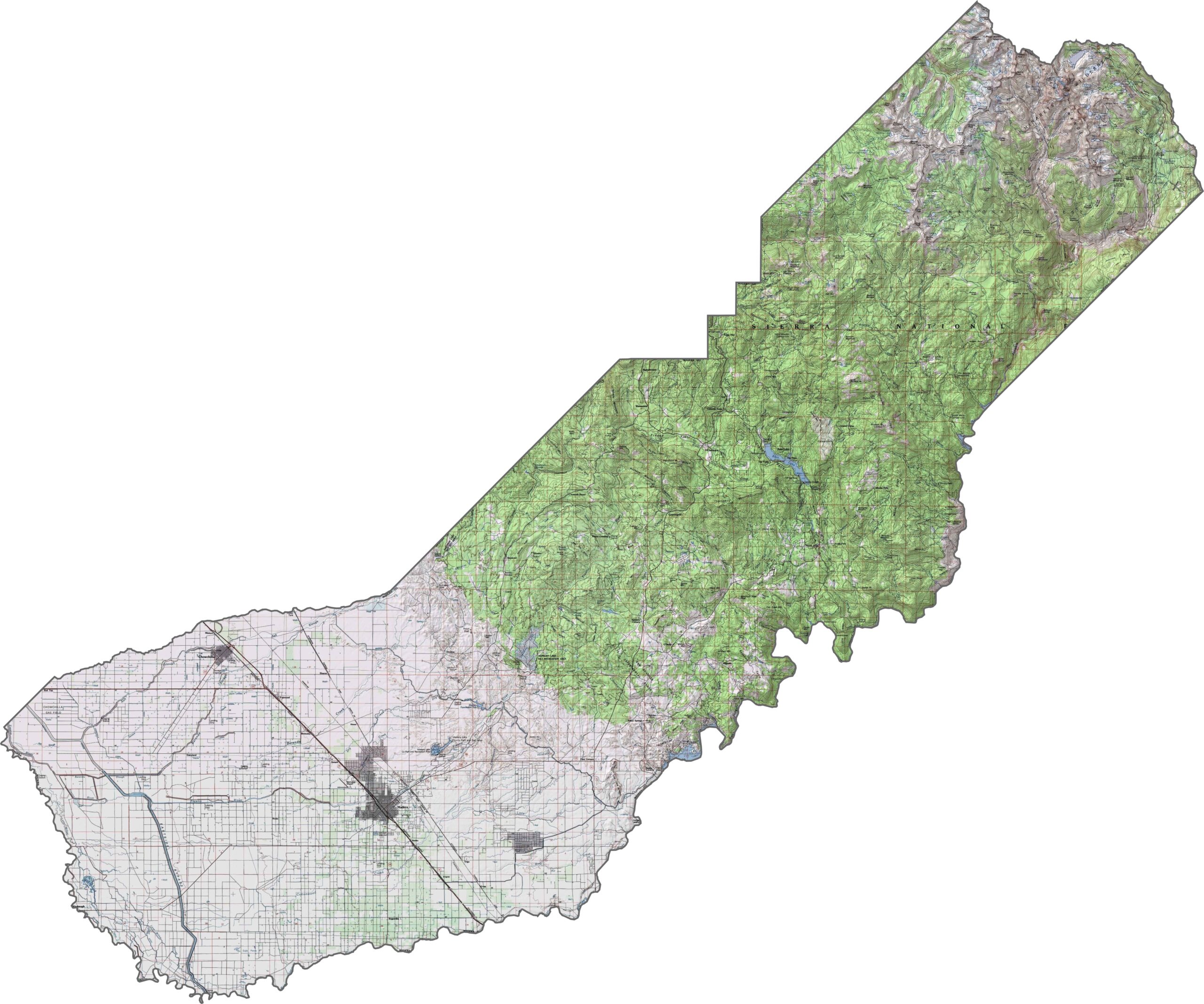
This topographic map highlights Madera County’s gradual transition from the Central Valley floor to the higher elevations of the Sierra Nevada. The detailed contours reveal the shift from flat agricultural land to forested slopes and alpine mountain terrain.
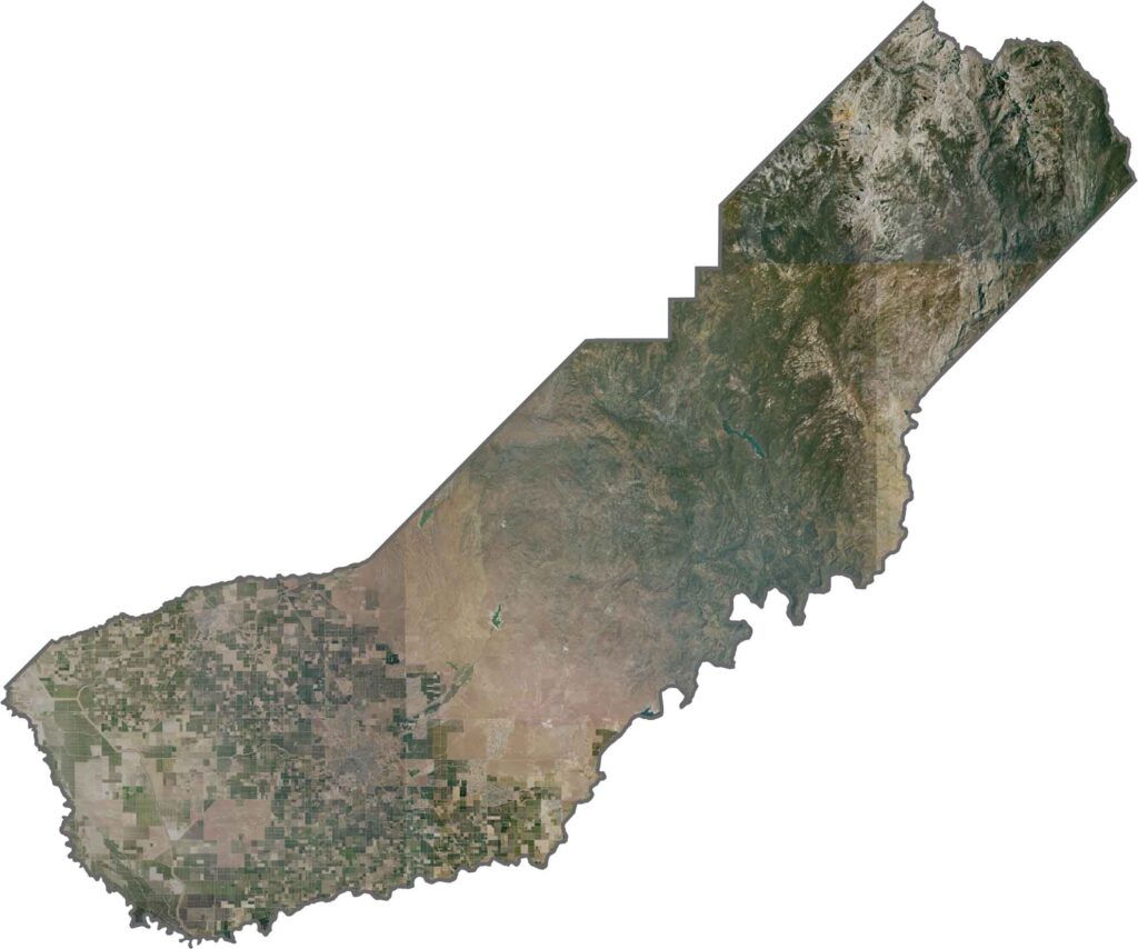
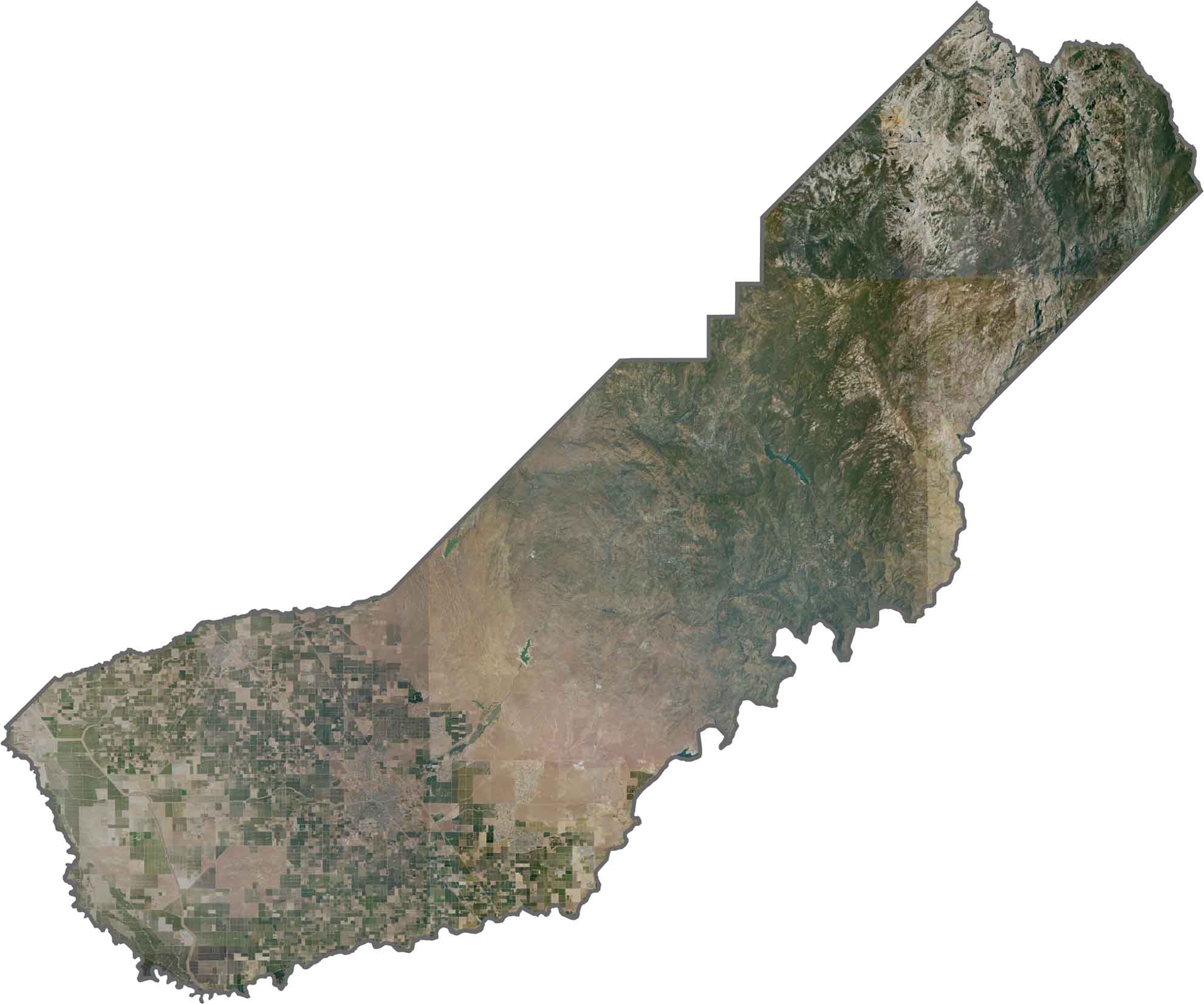
This satellite map shows the dramatic landscape transition from valley agriculture to mountain wilderness. The San Joaquin River curves along part of the southern boundary, creating a prominent geographic feature visible from above.
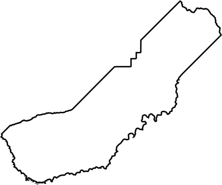
This blank map outlines Madera County’s elongated shape from the Central Valley into the Sierra Nevada. The southern boundary follows part of the San Joaquin River, emphasizing the county’s varied geography.








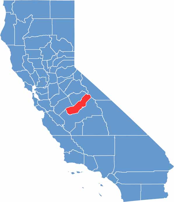
Ever wonder how California’s 58 counties are organized? Our California county map lays them all out, from the Pacific Coast to the vast desert regions. Explore the map to find the counties you know—and perhaps discover a few you don’t.