
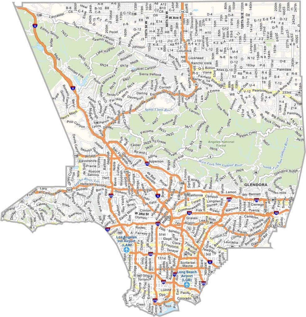
Los Angeles County is enormous and incredibly diverse, stretching from the Pacific coast to mountains and desert landscapes. Los Angeles is the county’s largest city, but communities such as Pasadena, Long Beach, and Santa Monica each have their own distinct character.
Traffic is famously heavy, but there’s far more to the county than crowded freeways. Malibu offers dramatic beaches and coastal scenery, Pasadena is home to the Rose Bowl, and the San Gabriel Mountains provide plenty of opportunities for hiking and outdoor recreation.
Los Angeles County is also home to iconic places such as Hollywood and Santa Monica, along with a huge variety of neighborhoods, cultural attractions, and entertainment options. It can be busy and expensive, but its combination of beaches, mountains, urban energy, and year-round activities makes it one of California’s most diverse counties.
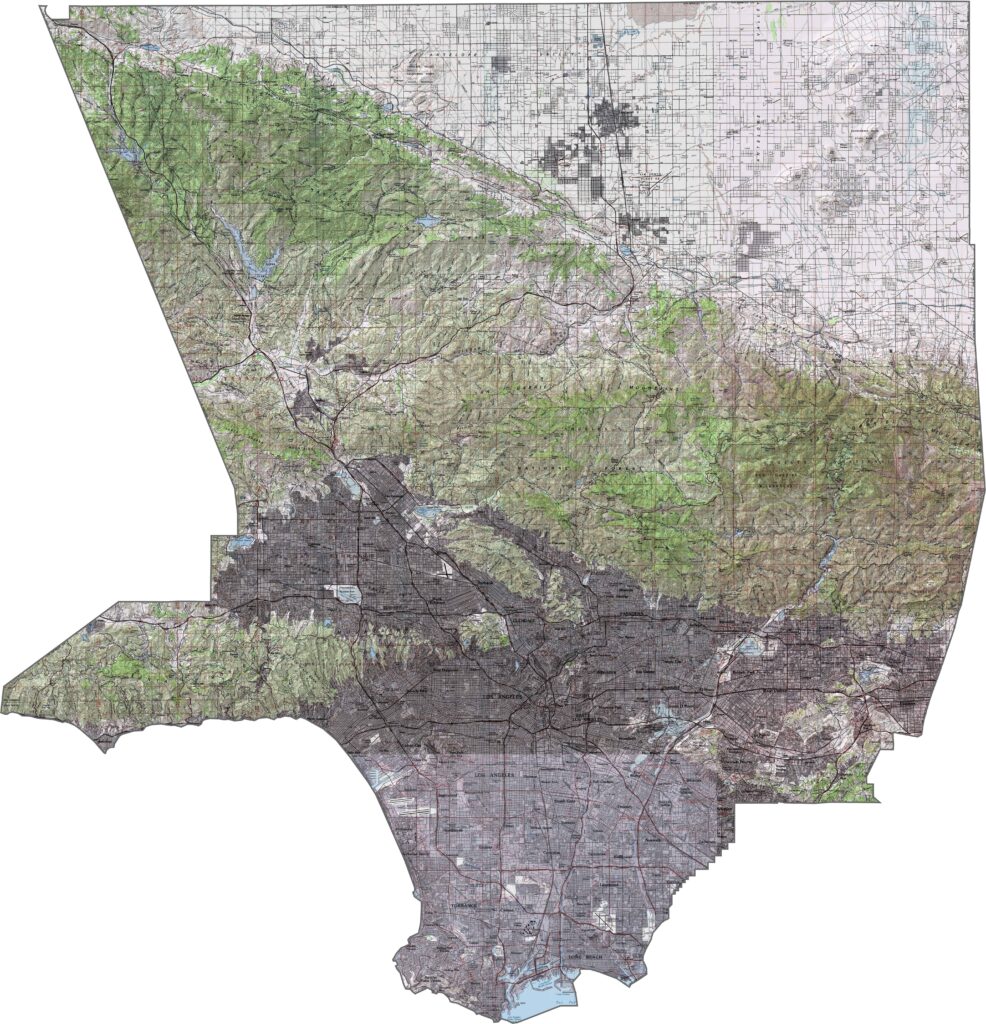
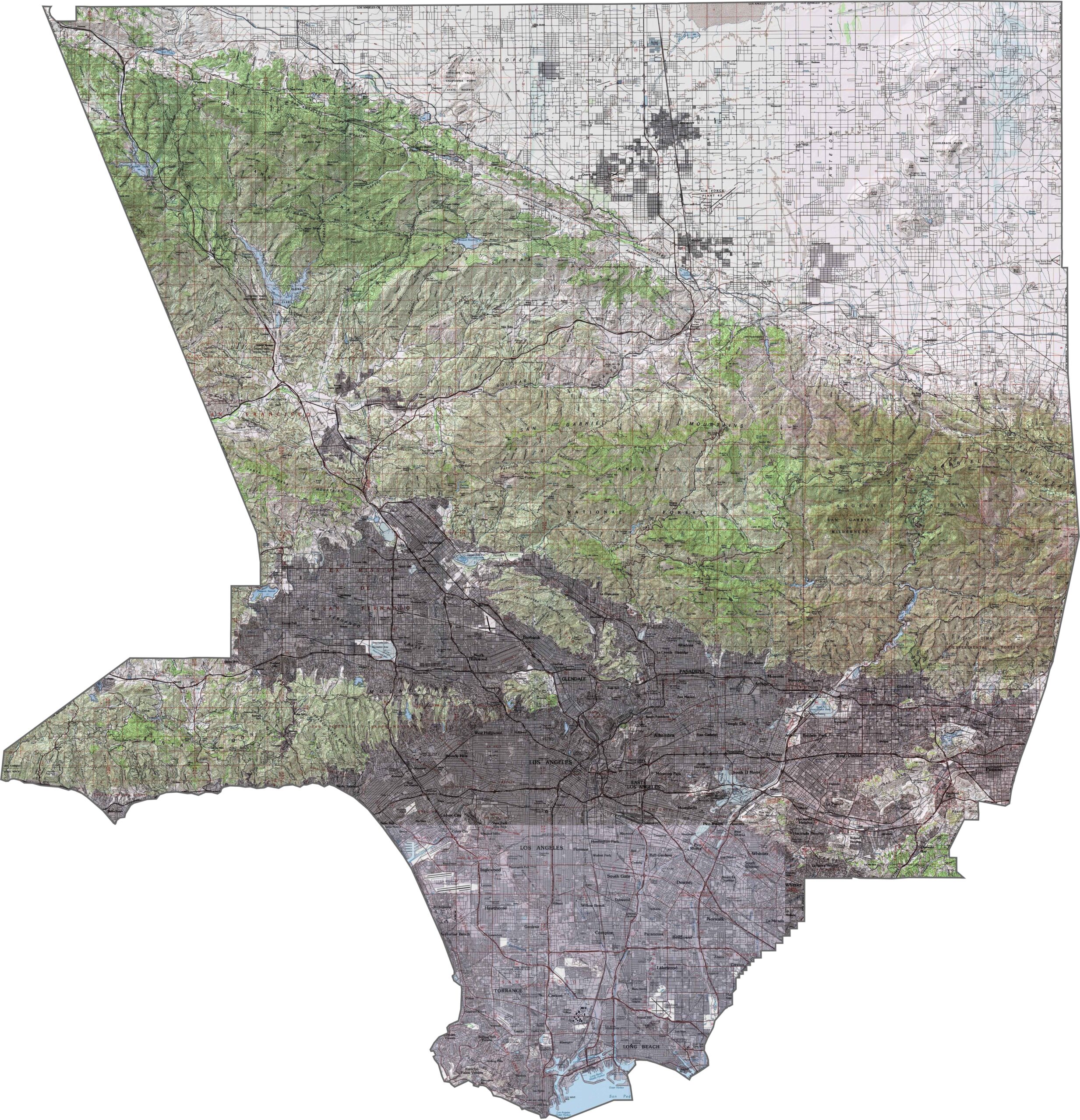
This topographic map highlights Los Angeles County’s dramatic terrain from the Pacific coastline to the surrounding mountain ranges. The detailed contours reveal beaches, valleys, and high peaks in the San Gabriel Mountains.
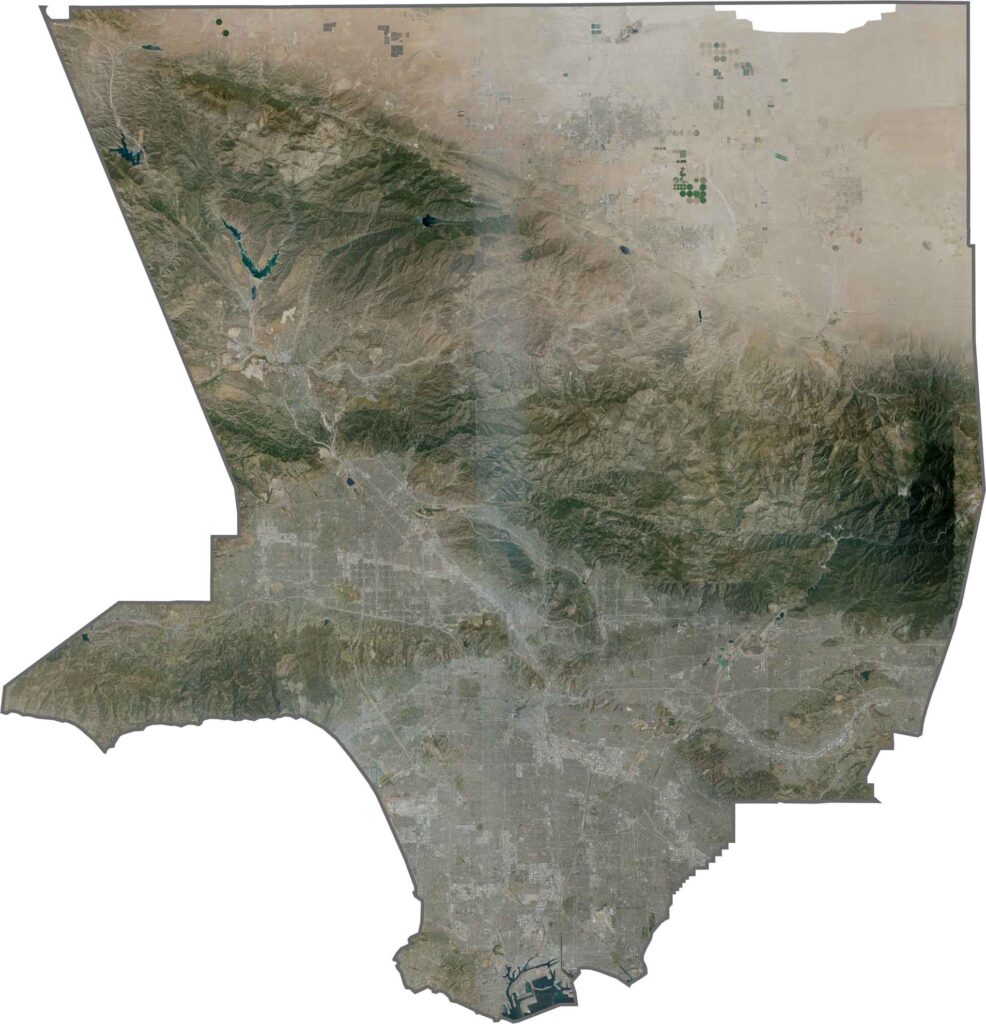
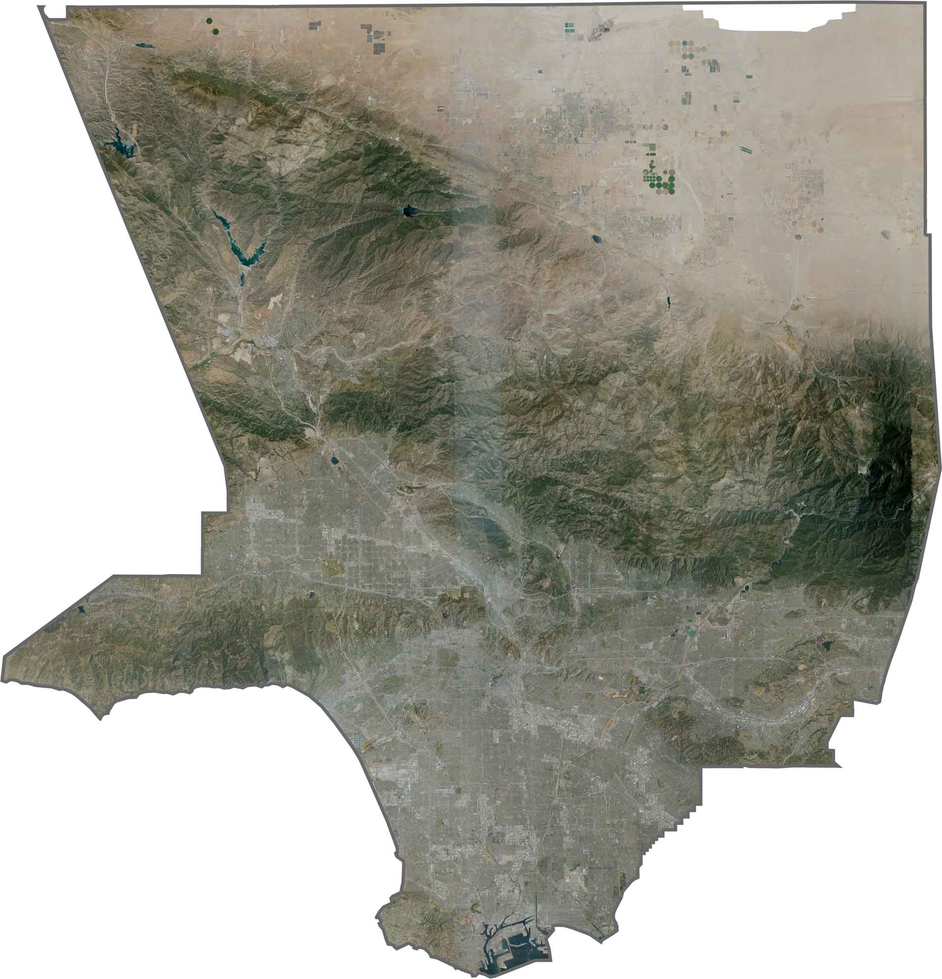
This satellite map shows massive urban development spreading from the coast into the surrounding valleys and foothills. The geometric street grid creates a striking contrast with the natural terrain of the nearby mountain ranges.
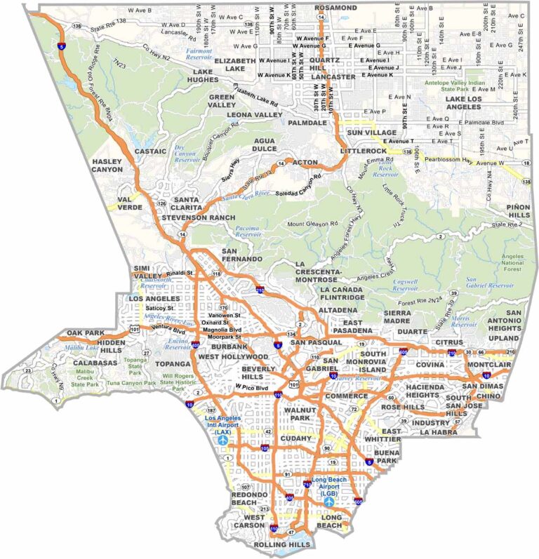
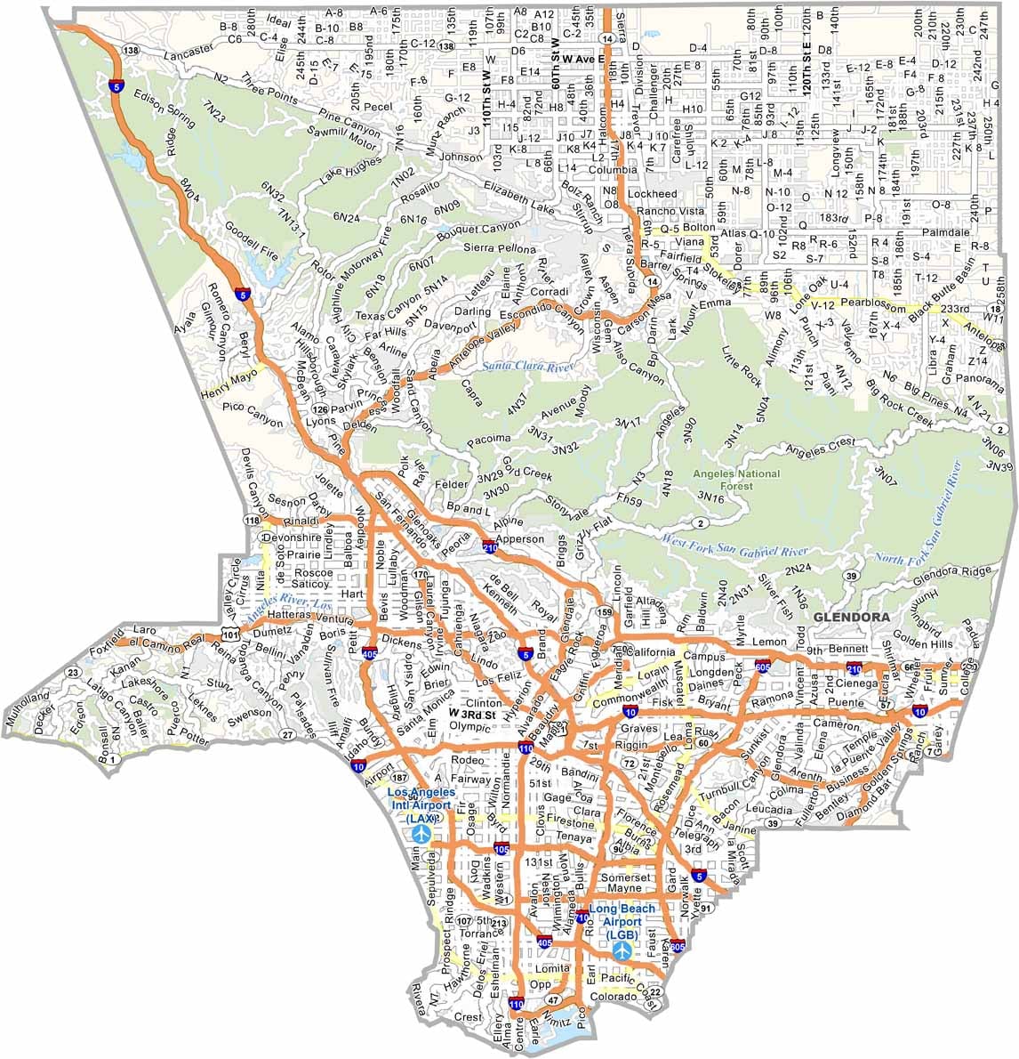
Los Angeles County is a vast and diverse area with many well-known communities and neighborhoods. From Beverly Hills and Hollywood to Long Beach, the region offers a wide variety of urban landscapes and local character.
This blank map outlines Los Angeles County’s irregular shape along Southern California’s coast. The county stretches from the Pacific Ocean through the San Gabriel Mountains and into the Mojave Desert, highlighting its remarkable geographic diversity.









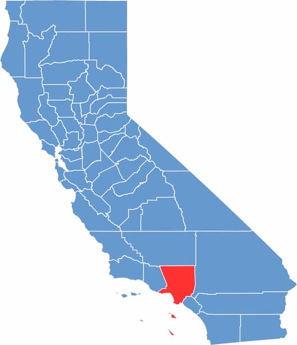
Ever wonder how California’s 58 counties are organized? Our California county map lays them all out, from the Pacific Coast to the vast desert regions. Explore the map to find the counties you know—and perhaps discover a few you don’t.